Bower Old Churchyard
- Country United Kingdom
- Total identified casualties 8 Find these casualties
- Region Caithness-shire
- Identified casualties from First & Second World War
- GPS Coordinates Latitude: 58.53697, Longitude: -3.30249
Location information
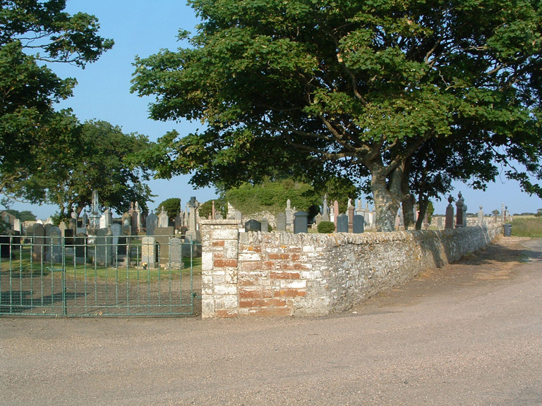
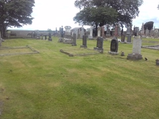
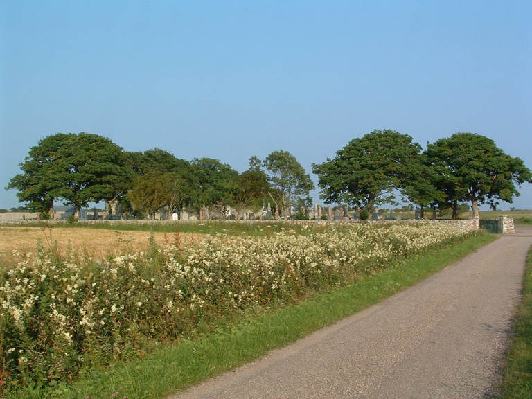
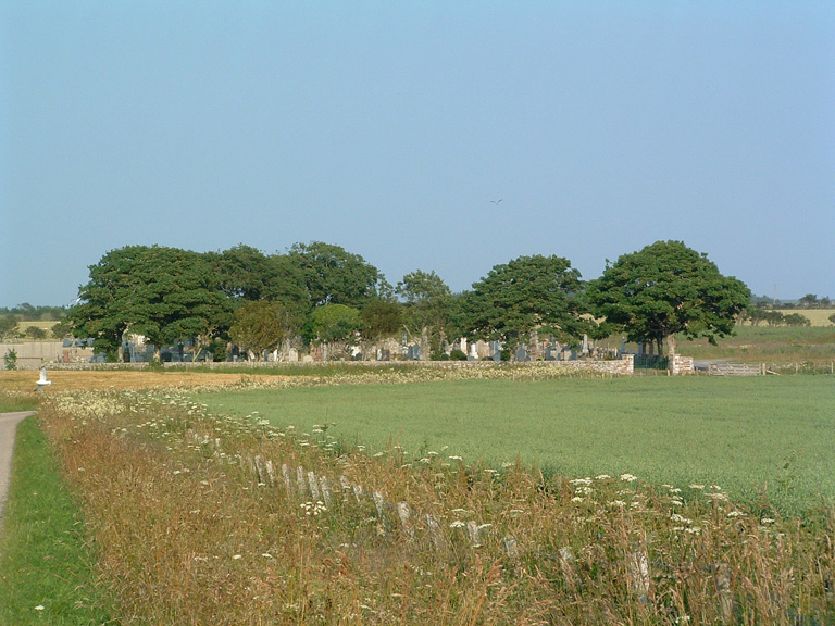
The churchyard, containing the ruins of the former Parish Church, lies in an isolated position between Bower and Scarmclett. It includes a Western extension called the New Burial Ground.