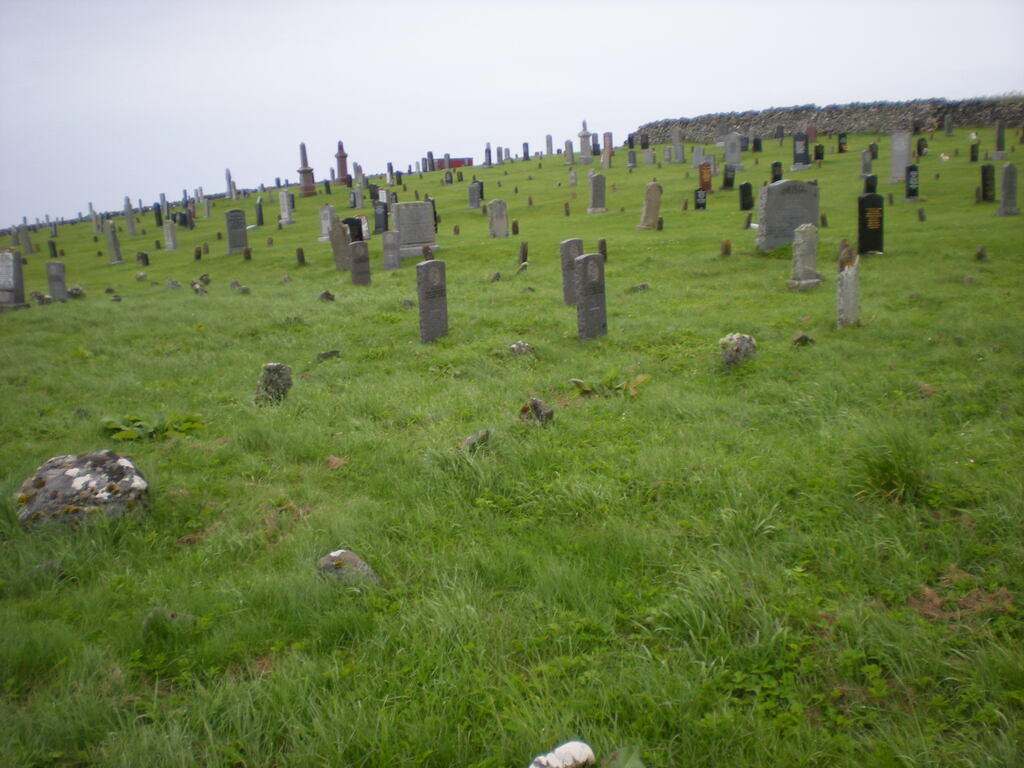
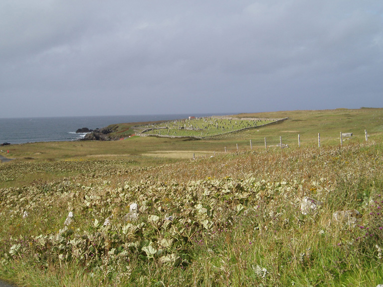
Bragar Old Churchyard
- Country United Kingdom
- Total identified casualties 36 Find these casualties
- Region Ross and Cromarty
- Identified casualties from First & Second World War
- GPS Coordinates Latitude: 58.34461, Longitude: -6.63628
Location information
Bragar is a village on the west side of the Isle of Lewis. On the A858 from North Bragar the chuchyard is sign-posted 'Cladh Bragair', a few hundred yards west from the community centre and Whalebone Arch. Parking is limited at the chuchyard gates but there is further space available at the picnic area by the shore.