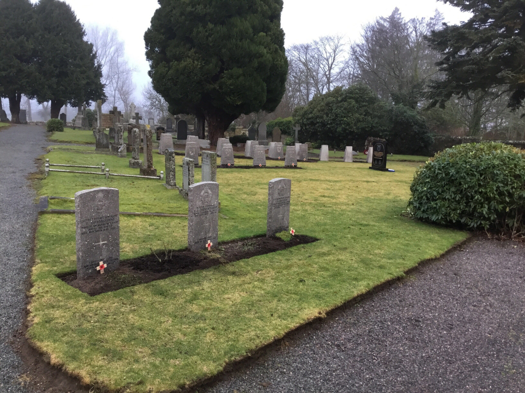
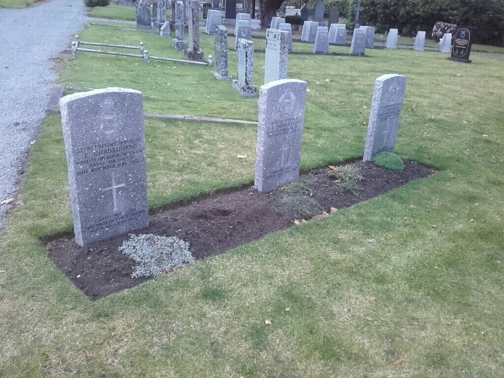
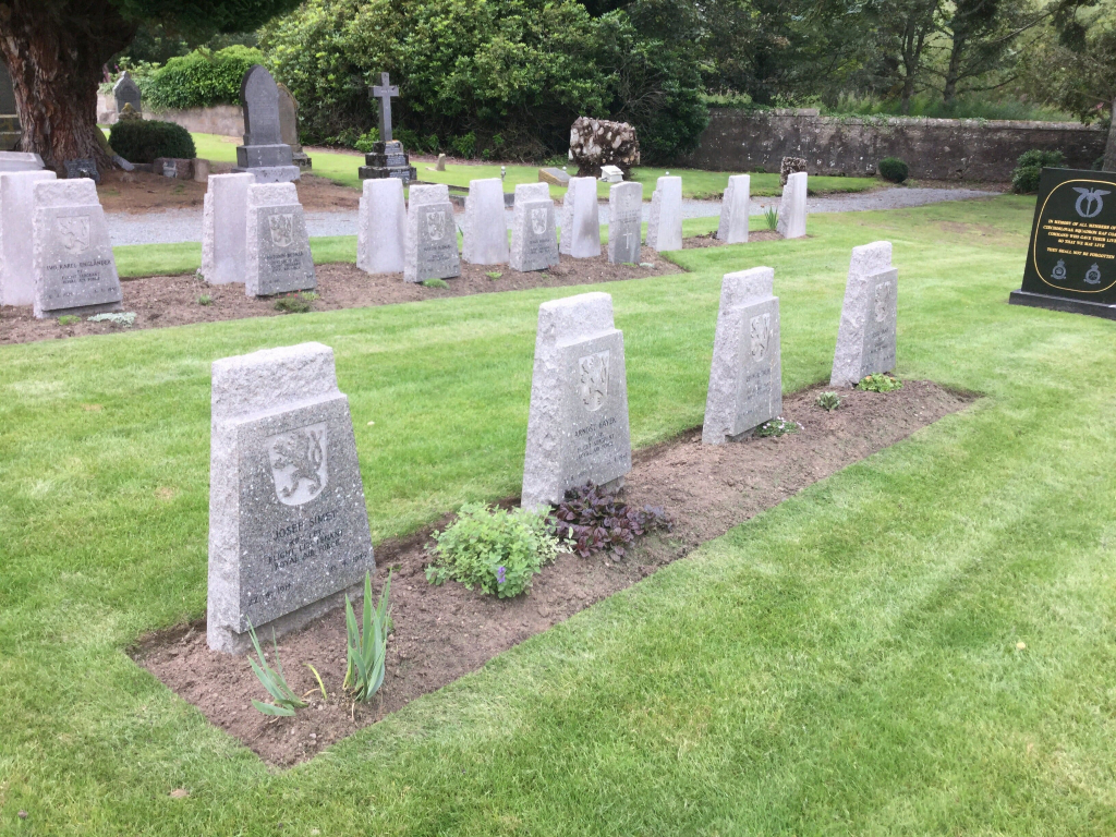
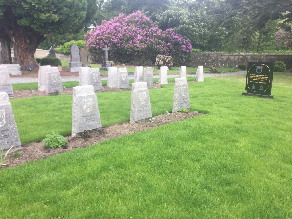
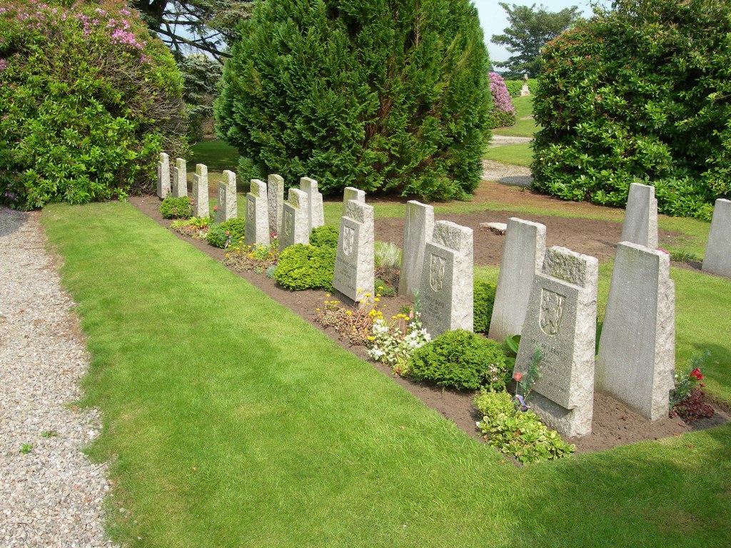
Tain (St. Duthus) Cemetery
- Country United Kingdom
- Total identified casualties 30 Find these casualties
- Region Ross and Cromarty
- Identified casualties from First & Second World War
- GPS Coordinates Latitude: 57.81286, Longitude: -4.04635
Location information
Tain (St. Duthus) Cemetery is close to the centre of the town. It is on Chapel Road which can be reached from the main road (the B9174) via Castle Brae. The war graves are in the older part of the site which is over the railway. There is a car park on the left hand side overlooking the Dornoch Firth park. The cemetery is then slightly further up the narrow road.