Belgian Battery Corner Cemetery
- Country Belgium
- Total identified casualties 568 Find these casualties
- Region West-Vlaanderen
- Identified casualties from First World War
- GPS Coordinates Latitude: 50.83928, Longitude: 2.86147
Location information
Belgian Battery Corner Cemetery is located 2 Km south west of Ieper town centre, on a road called Omloopstraat, a road leading from the Dikkebusseweg. From Ieper town centre the Dikkebusseweg (N375), is reached via Elverdingestraat, straight over a roundabout onto Capronstraat (for 30 metres), then left along Fochlaan. Immediately after the train station, the first right hand turning is the Dikkebusseweg. 1.5 Km along the Dikkebusseweg is the right hand turning onto the Frezenbergstraat. 200 metres further on the right hand side is Omloopstraat. The cemetery is located immediately on the right hand side of the Omloopstraat.
Visiting information
ARRIVAL
The route to the cemetery is signposted.
PARKING
It is possible to park at the front of the cemetery close to the main entrance, or at the edge of the road in a layby. There is space for 2 vehicles.
The distance from the parking area to the main entrance is approximately 5 metres and the ground is flat and firm.
ACCESS LAYOUT AND MAIN ENTRANCE
The main entrance does not have a gate; it is a gap between 2 walls with a stone bollard in the middle of the opening. the space either side of the bollard is 600 centimetres. Grass leads from the side of the road to stone paving in the opening. The paving is level with the grass on either side.
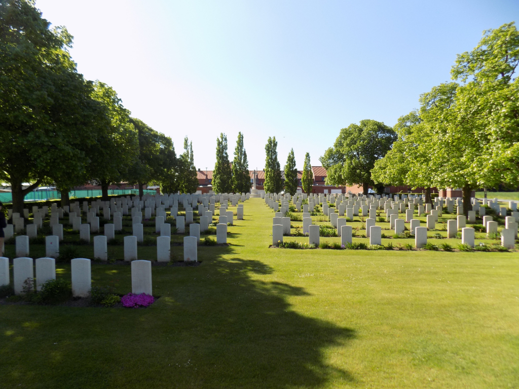
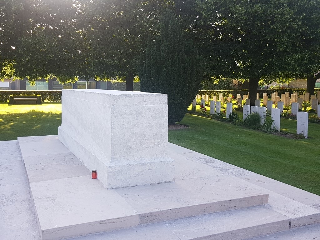
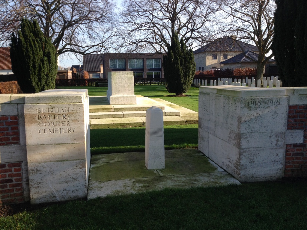
The Stone of Remembrance is just inside the main entrance.
There is a grass ditch along the length of the cemetery adjacent to the road.
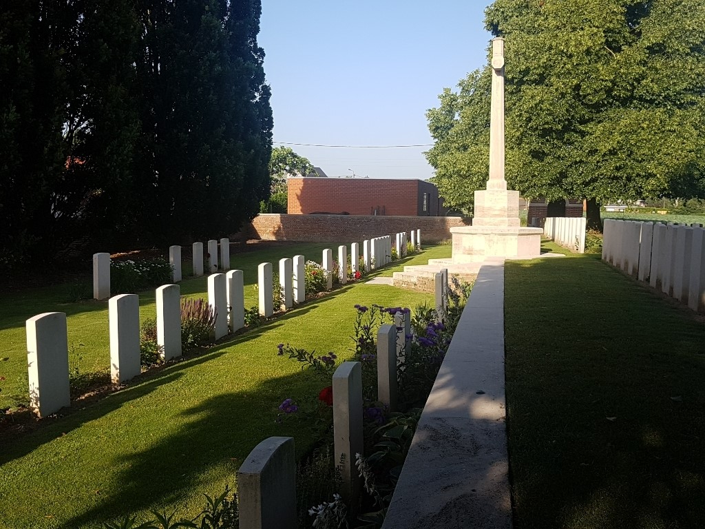
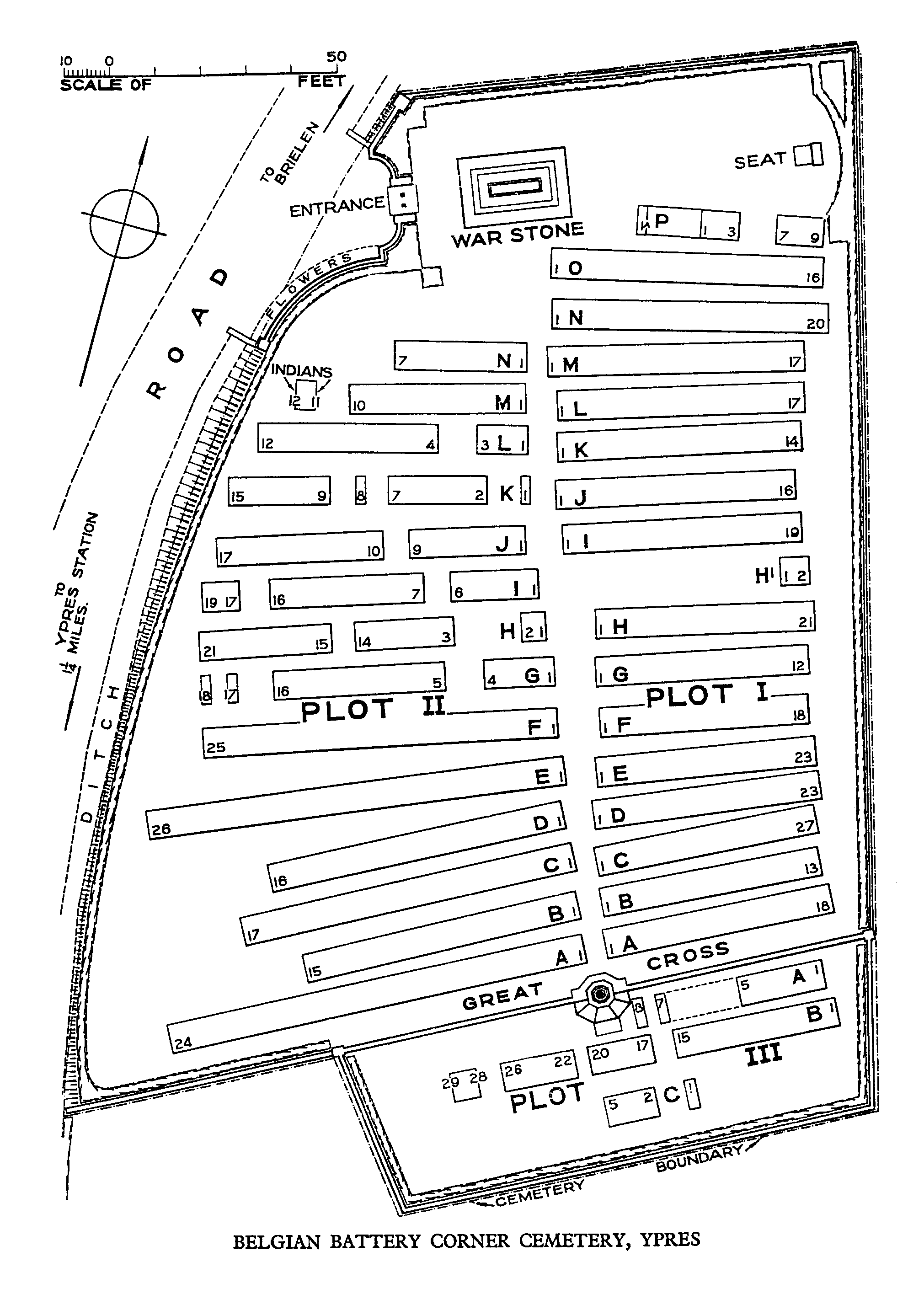
The Cross of Sacrifice is at the opposite end of the cemetery from the main entrance.
The cemetery is divided into 2 sections separated by a stone wall and level change.
There is access to the distinct levels via stone steps around the Cross of Sacrifice, or via a grass ramp close to the shelter building at the rear of the site.
Within the cemetery are seating areas, a stone bench in line with the Stone of Remembrance and the main entrance, and a stone bench inside the cemetery shelter building.
The Register Box is built into the inside wall at the main entrance of the cemetery.
ALTERNATIVE ACCESS
There is an alternative entrance which providing unrestricted access into the cemetery, close to the rear right-hand corner of the cemetery, behind the red brick shelter building off the main road.
The alternative entrance has a paved path surface. The path follows the hedge line of the cemetery into the burial area. The path is flat and firm, paved for 10 metres then the surface changes to grass.
ADDITIONAL INFORMATION
The cemetery is permanently open.
History information
This cemetery occupies a site at a road junction where three batteries of Belgian artillery were positioned in 1915. The cemetery was begun by the 8th Division in June 1917 after the Battle of Messines (although one grave in Plot III, Row A, predates this) and it was used until October 1918, largely for burials from a dressing station in a cottage near by. Almost half of the graves are of casualties who belonged, or were attached, to artillery units.
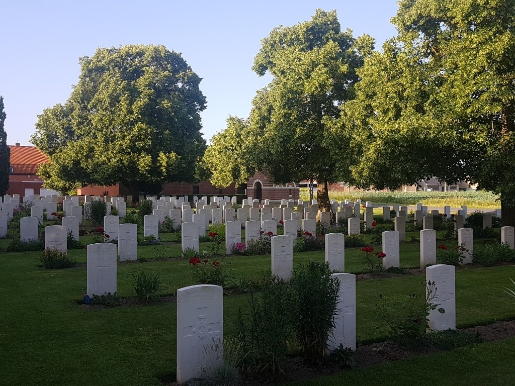
There are now 573 First World War casualties buried or commemorated in this cemetery. Seven of the burials are unidentified and special memorials commemorate three casualties known to have been buried in the cemetery, but whose graves could not be located.
The cemetery was designed by Sir Edwin Lutyens.