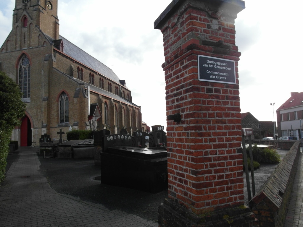
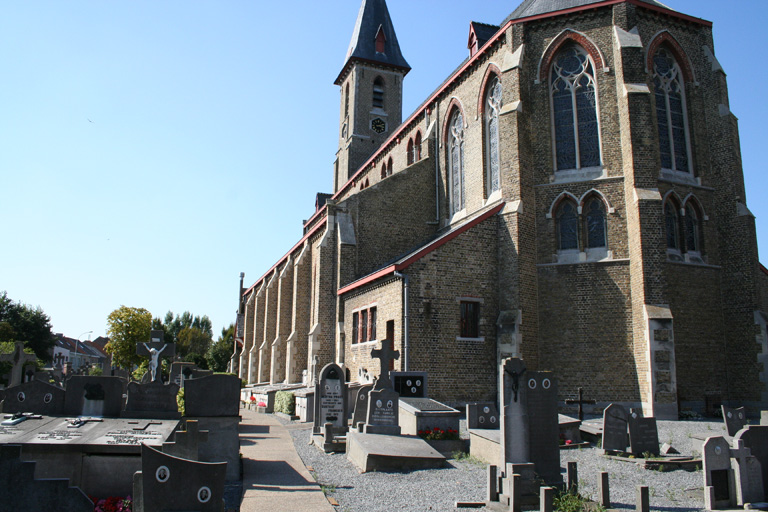
Bredene Churchyard
- Country Belgium
- Total identified casualties 9 Find these casualties
- Region West-Vlaanderen
- Identified casualties from First & Second World War
- GPS Coordinates Latitude: 51.23491, Longitude: 2.97688
Location information
Bredene Churchyard is located 7 km east of Oostende on the N316 Sluizenstraat, a road leading from the N9 connecting Oostende to Brugge. From Oostende the N9 leads from Sas Slijkens for 3 km to the left hand junction with the N316 Sluizenstraat. 2 km along Sluizenstraat lies the village of Bredene. The churchyard is located on the Dorpstraat which is a right turn from Sluizenstraat in the village itself. This churchyard is not an open site and access is limited by normal cemetery opening hours.
History information
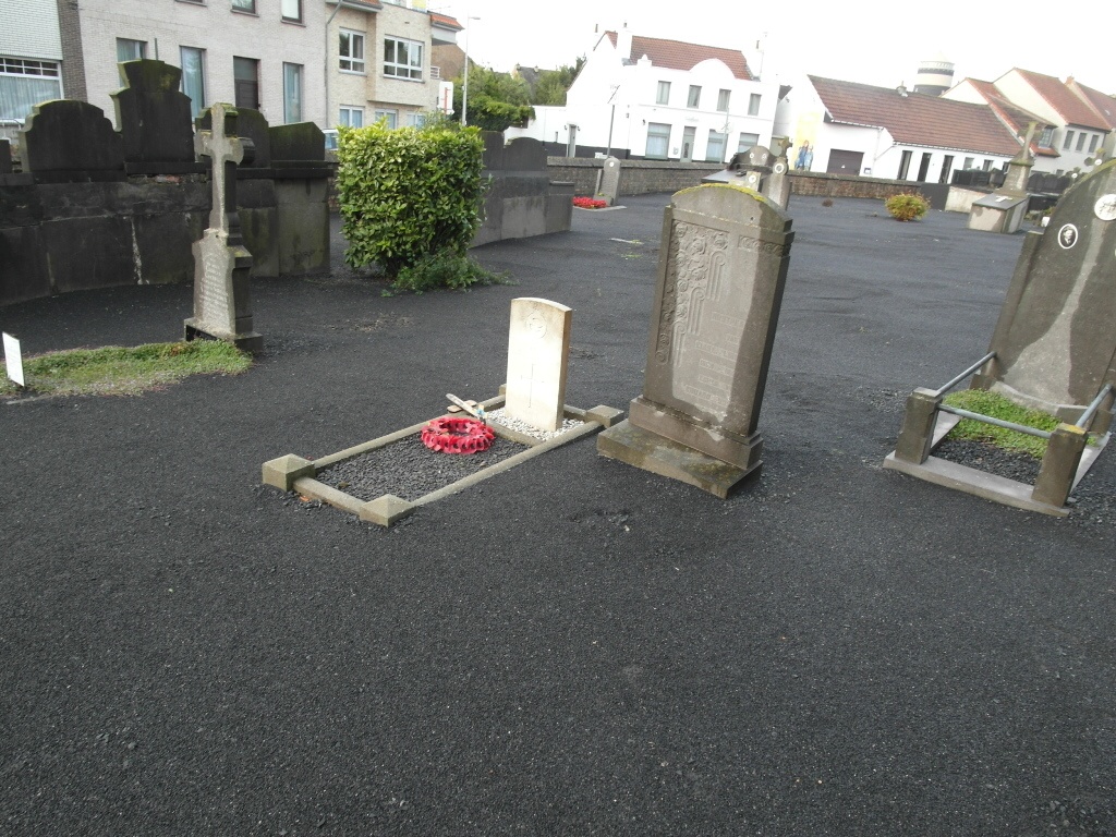
The British Expeditionary Force was involved in the later stages of the defence of Belgium following the German invasion in May 1940, and suffered many casualties in covering the withdrawal to Dunkirk. Commonwealth forces did not return until September 1944, but in the intervening years, many airmen were shot down or crashed in raids on strategic objectives in Belgium, or while returning from missions over Germany.
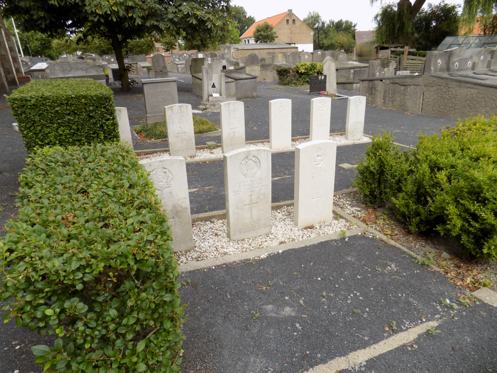
Bredene Churchyard contains 12 Commonwealth burials of the Second World War, four of them unidentified. The churchyard also contains the grave of one airman of the First World War.