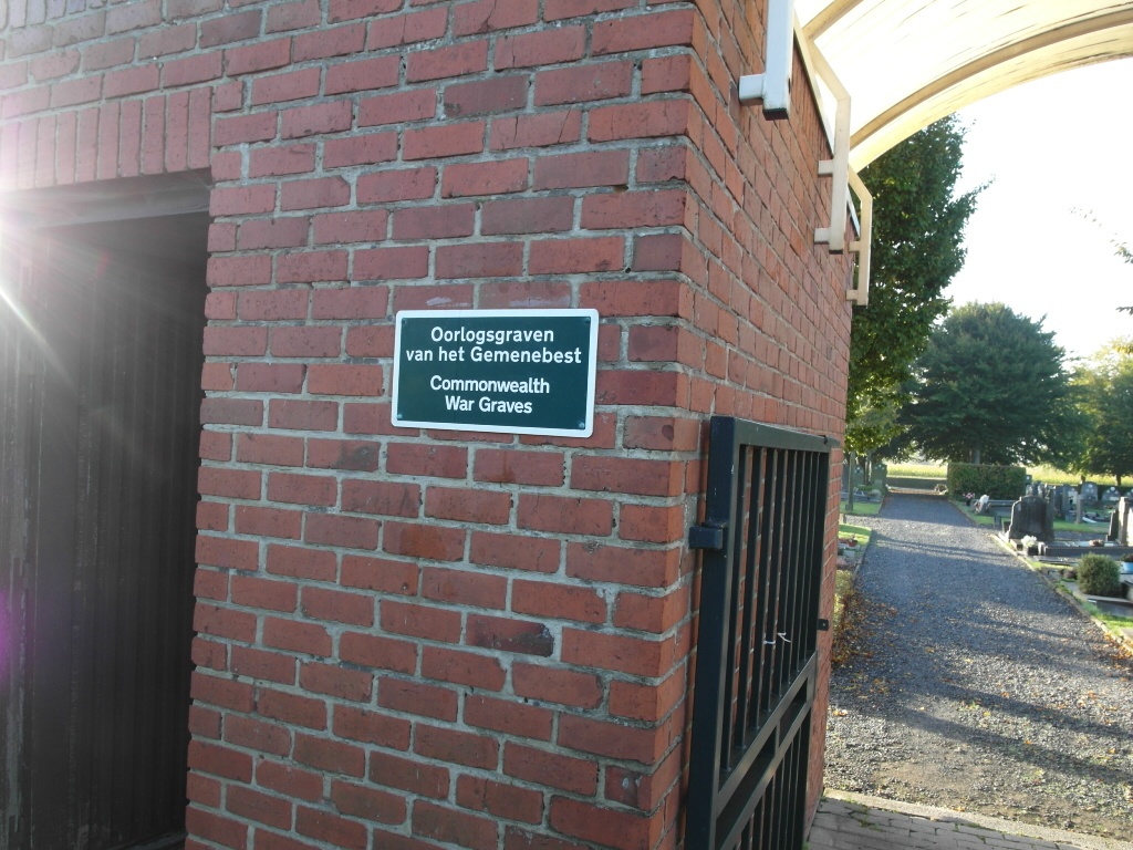
Bellegem Communal Cemetery
- Country Belgium
- Total identified casualties 1 Find these casualties
- Region West-Vlaanderen
- Identified casualties from Second World War
- GPS Coordinates Latitude: 50.77263, Longitude: 3.28037
Location information
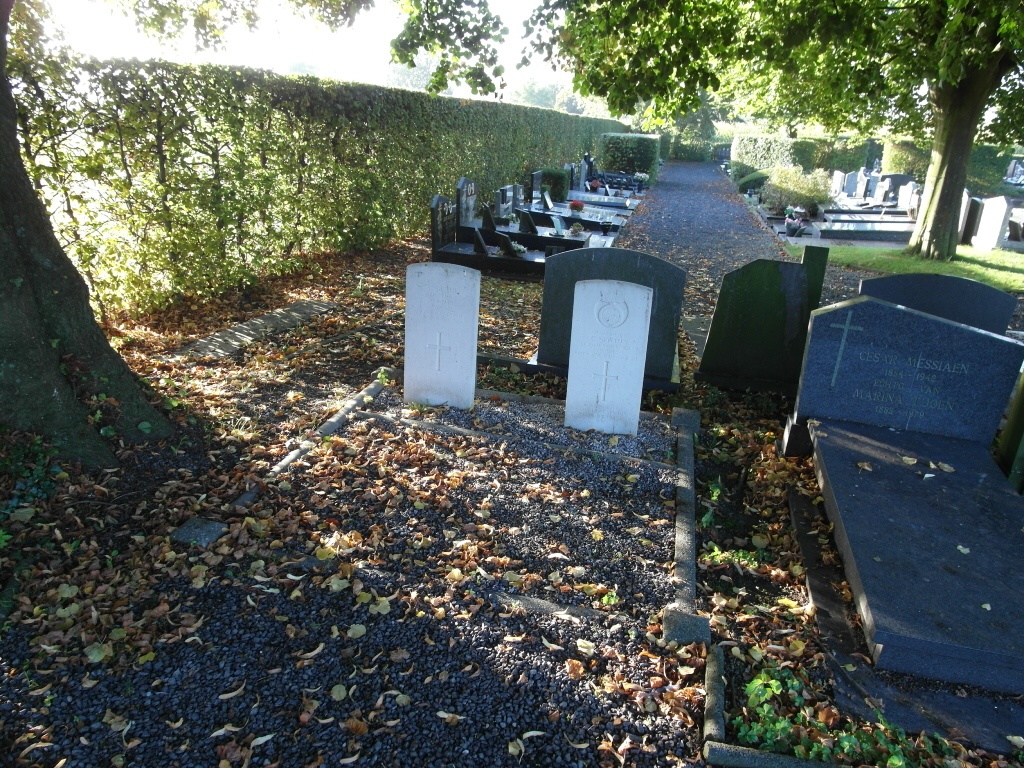
The village of Bellegem is located 6 kilometres south of Kortrijk, off the N50 which runs between Kortrijk and Doornik. Driving from Kortrijk along the N50 take the turning on the right signed to Bellegem, this is Bellegemstraat. Take then the eighth turning on the left, just past the church, this is Kwabrugstraat. The cemetery is past the first turning on the left. The graves are located in Plot C. Walk in through the front entrance and take the third path on the left, the graves are at the end of this path on the right.
History information
The British Expeditionary Force was involved in the later stages of the defence of Belgium following the German invasion in May 1940, and suffered many casualties in covering the withdrawal to Dunkirk.
Bellegem Communal Cemetery contains two Commonweatlh burials of the Second World War, one of which is unidentified.