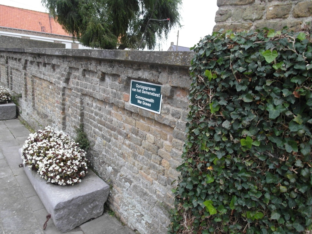
Eggewaartskapelle Churchyard
- Country Belgium
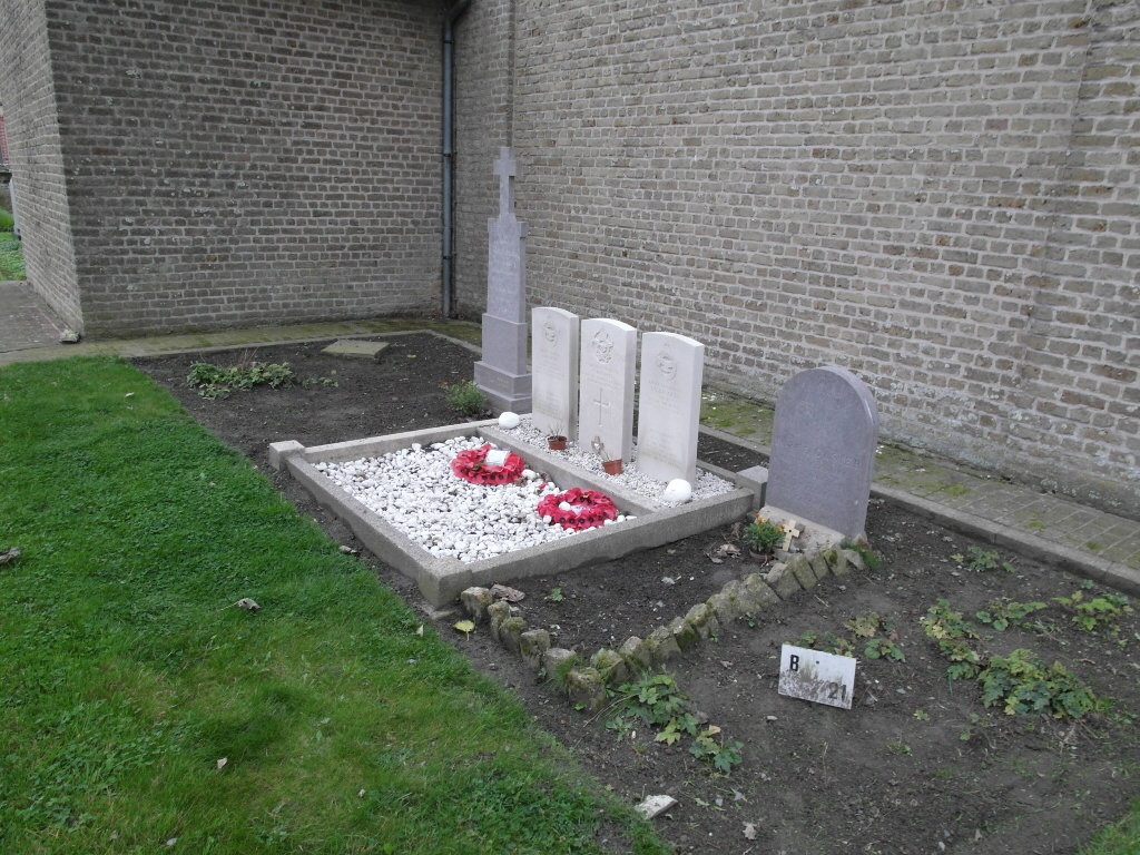
- Total identified casualties 5 Find these casualties
- Region West-Vlaanderen
- Identified casualties from Second World War
- GPS Coordinates Latitude: 51.05008, Longitude: 2.72165
Location information
The village of Eggewaartskapelle is located 6 kilometres south-east of the town of Veurne. Driving along the N35 towards Diksmuide from Veurne go to the first junction and turn right for Eggewaartskapelle, this road is called Knollestraat. Entering the village the church is on the left. The graves are at the rear of the church.
History information
The British Expeditionary Force was involved in the later stages of the defence of Belgium following the German invasion in May 1940, and suffered many casualties in covering the withdrawal to Dunkirk. Commonwealth forces did not return until September 1944, but in the intervening years, many airmen were shot down or crashed in raids on strategic objectives in Belgium, or while returning from missions over Germany. Eggewaartskapelle Churchyard contains the graves of five Commonwealth airmen of the Second World War.