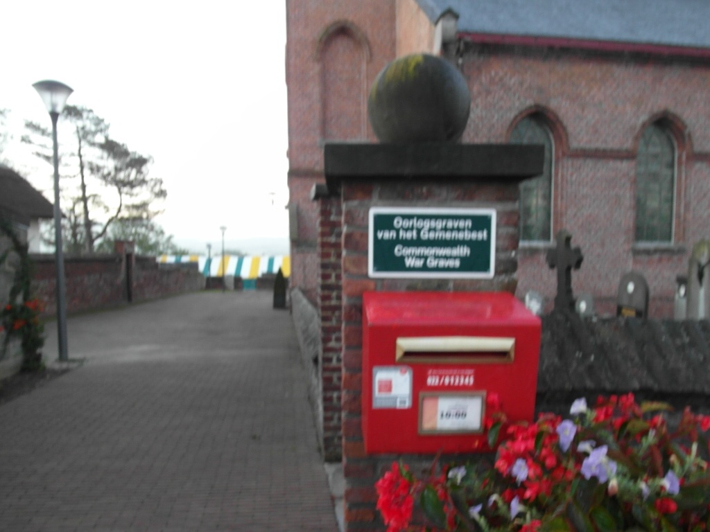
Gijzelbrechtegem Churchyard
- Country Belgium
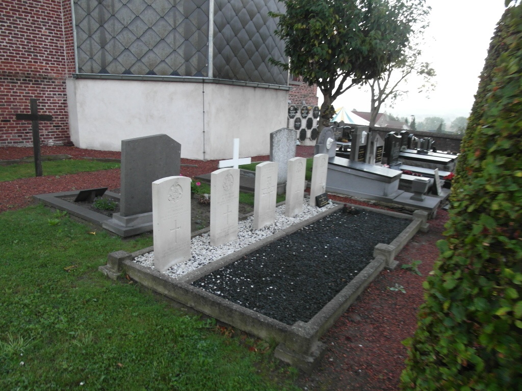
- Total identified casualties 5 Find these casualties
- Region West-Vlaanderen
- Identified casualties from Second World War
- GPS Coordinates Latitude: 50.82842, Longitude: 3.5058
Location information
The village of Gijzelbrechtegem is located south of the town of Waregem off the N382 which runs between Waregem and Ronse. From junction 5 of the E17 motorway at Waregem take the N382 direction Anzegem, follow this road through the village of Anzegem and and you come to a right hand bend just before the railway. Take the turning on the left called Gijzelbrechtegemstraat and follow this road into the village. The church is on the right in the village. The graves are located at the rear of the church.
History information
The British Expeditionary Force was involved in the later stages of the defence of Belgium following the German invasion in May 1940, and suffered many casualties in covering the withdrawal to Dunkirk. Gijzelbrechtegem Churchyard contains five Commonwealth burials of the Second World War.