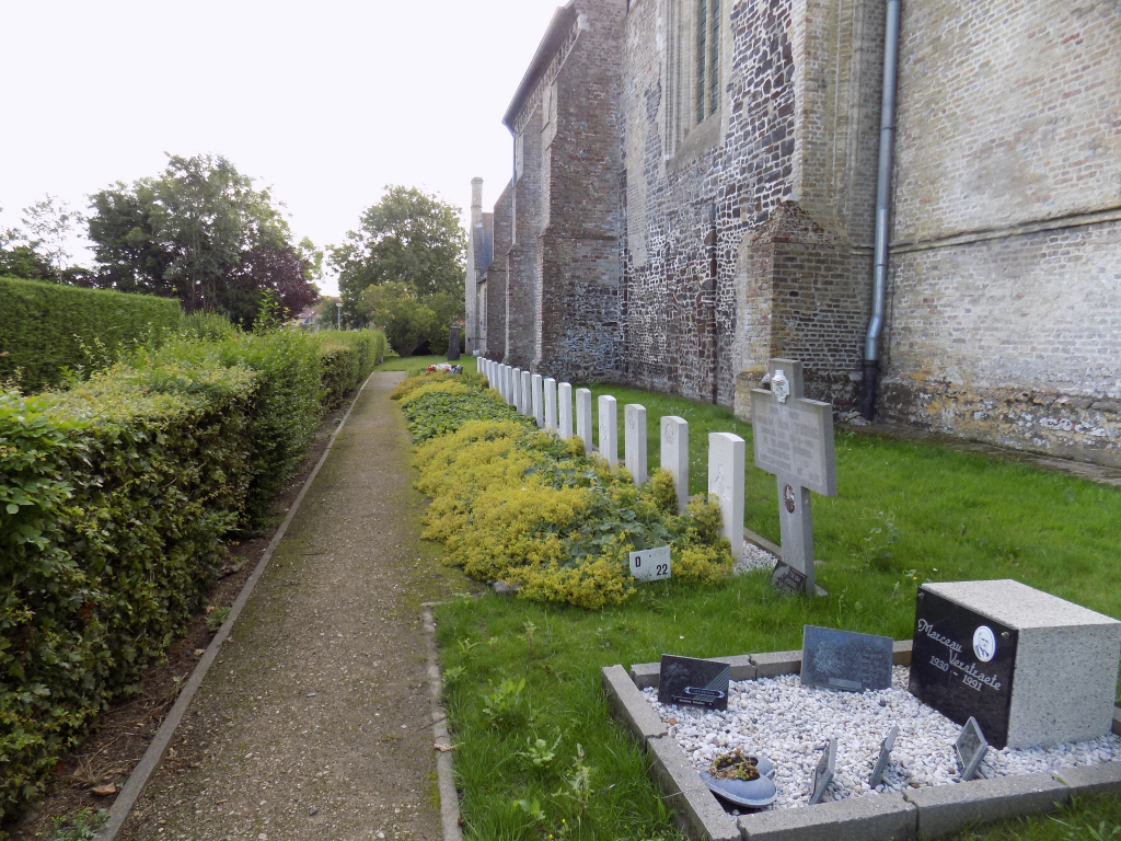
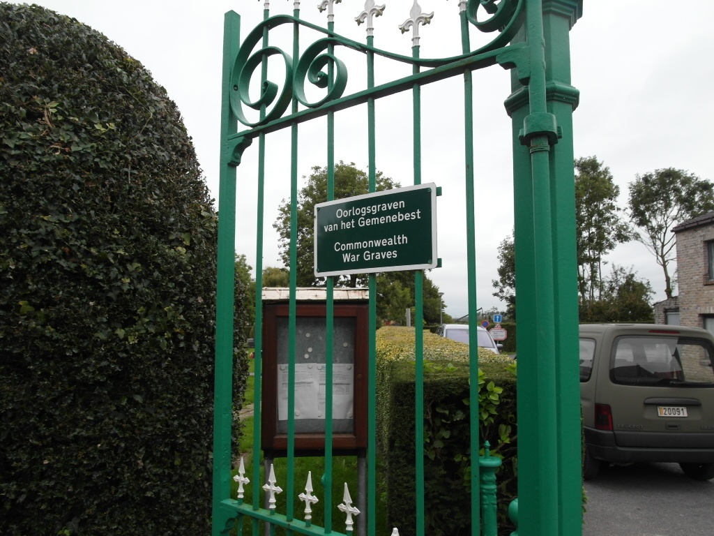
Houtem Churchyard
- Country Belgium
- Total identified casualties 13 Find these casualties
- Region West-Vlaanderen
- Identified casualties from Second World War
- GPS Coordinates Latitude: 51.01202, Longitude: 2.60689
Location information
Houtem Churchyard is located 10 km south of Veurne. From Veurne town centre the N39 Duinkerkestraat leads for 500 metres towards Adinkerke where it joins the N8 towards Ieper. 2 km along the N8 lies the right hand turning onto the Bulkskampstraat towards the village of Bulskamp (3 km). 5 km beyond Bulskamp on the Moeresteenweg lies the village of Houtem. The churchyard is located in the village itself on the junction between Dorpsstraat and Kerkhoek.
History information
The British Expeditionary Force was involved in the later stages of the defence of Belgium following the German invasion in May 1940, and suffered many casualties in covering the withdrawal to Dunkirk. Commonwealth forces did not return until September 1944, but in the intervening years, many airmen were shot down or crashed in raids on strategic objectives in Belgium, or while returning from missions over Germany.
Houtem Churchyard contains 16 Commonwealth burials of the Second World War, three of them unidentified.