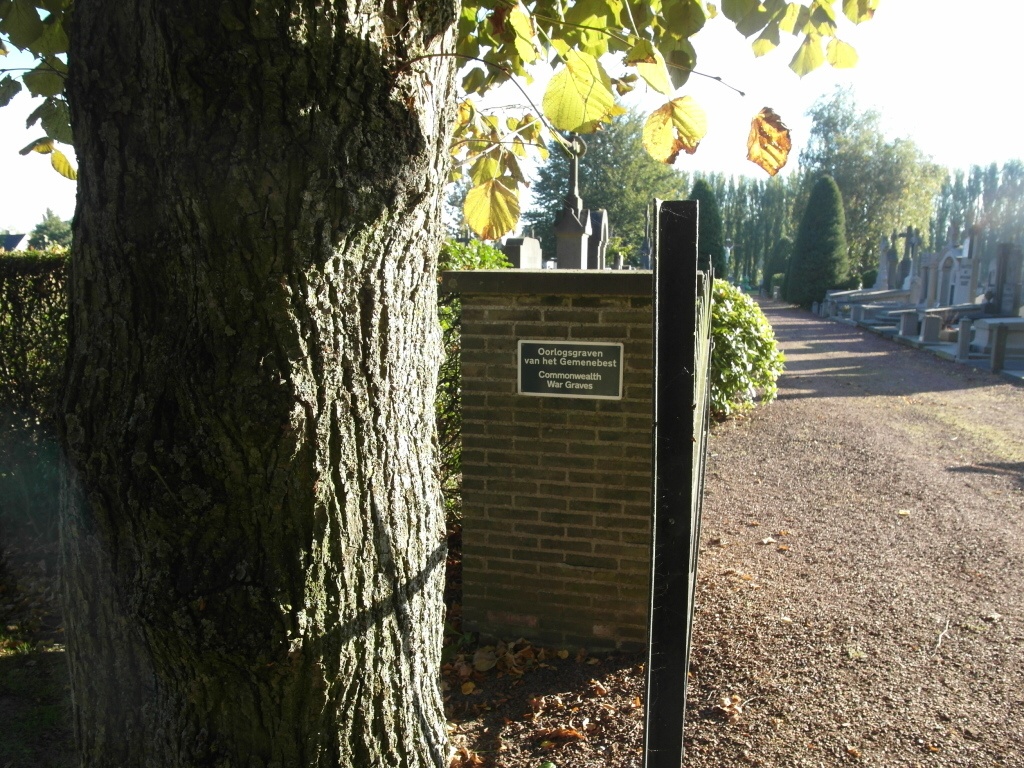
Moorsele Communal Cemetery
- Country Belgium
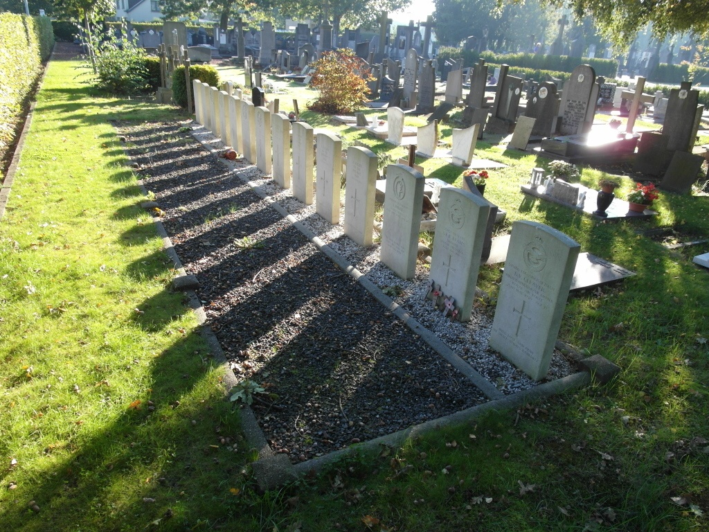
- Total identified casualties 9 Find these casualties
- Region West-Vlaanderen
- Identified casualties from Second World War
- GPS Coordinates Latitude: 50.83892, Longitude: 3.1679
Location information
Moorseele Communal Cemetery is located 20 Km east of Ieper town centre on a road leading from the N8, connecting Ieper to Menen (Menin) and onto Wevelgem. On reaching Wevelgem the left hand turning onto Lode de Boningestraat leads onto the Roeselarestraat and on for 3.5 Km to Moorseele. On reaching Moorseele the cemetery is located on the junction between Caesar Gezellestraat and Vanmarckelaan.
Visiting information
Wheelchair access is possible via main entrance. For further information regarding wheelchair access, please contact our Enquiries Section on enquiries@cwgc.org or 01628 507200.
History information
The British Expeditionary Force was involved in the later stages of the defence of Belgium following the German invasion in May 1940, and suffered many casualties in covering the withdrawal to Dunkirk. Commonwealth forces did not return until September 1944, but in the intervening years, many airmen were shot down or crashed in raids on strategic objectives in Belgium, or while returning from missions over Germany.
Moorsele Communal Cemetery contains 15 Commonwealth burials of the Second World War, six of which are unidentified.