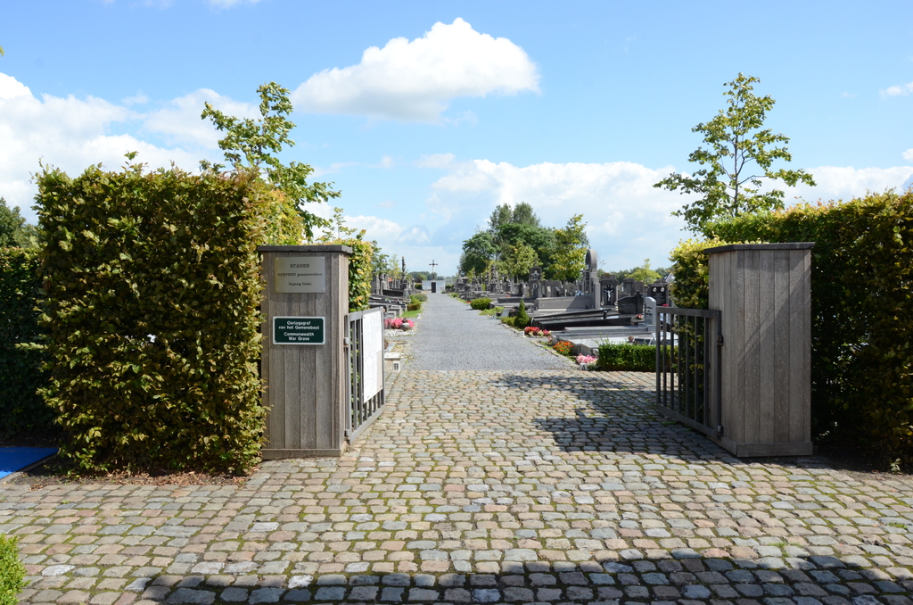
Staden Communal Cemetery
- Country Belgium
- Total identified casualties 1 Find these casualties
- Region West-Vlaanderen
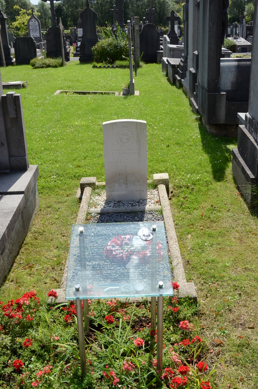
- Identified casualties from Second World War
- GPS Coordinates Latitude: 50.9769, Longitude: 3.01496
Location information
The village of Staden is located 8 kilometres north-west of the town of Roeselare (formerly Roulers), on the N36 road which runs between Roeselare and Diksmuide (Dixmuide). Driving from Roeslare follow the N36 through the village of Sleyhage and Staden is the next village. As you enter the village you come to the market place. Take the turning on the right to Kortemark, this is called Bruggesraat. Take then the first turning left into De Carninstraat, the cemetery is along here on the right. The grave is located along the main path, then take the fourth path on the left and the first right (Plot 1V).
History information
The British Expeditionary Force was involved in the later stages of the defence of Belgium following the German invasion in May 1940, and suffered many casualties in covering the withdrawal to Dunkirk. Commonwealth forces did not return until September 1944, but in the intervening years, many airmen were shot down or crashed in raids on strategic objectives in Belgium, or while returning from missions over Germany. Staden Communal Cemetery contains the grave of one Commonwealth airman of the Second World War.