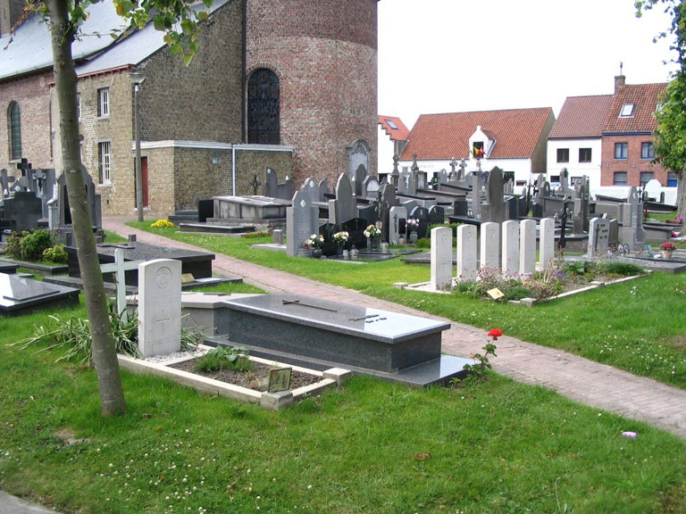
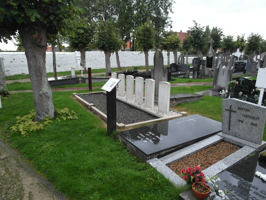
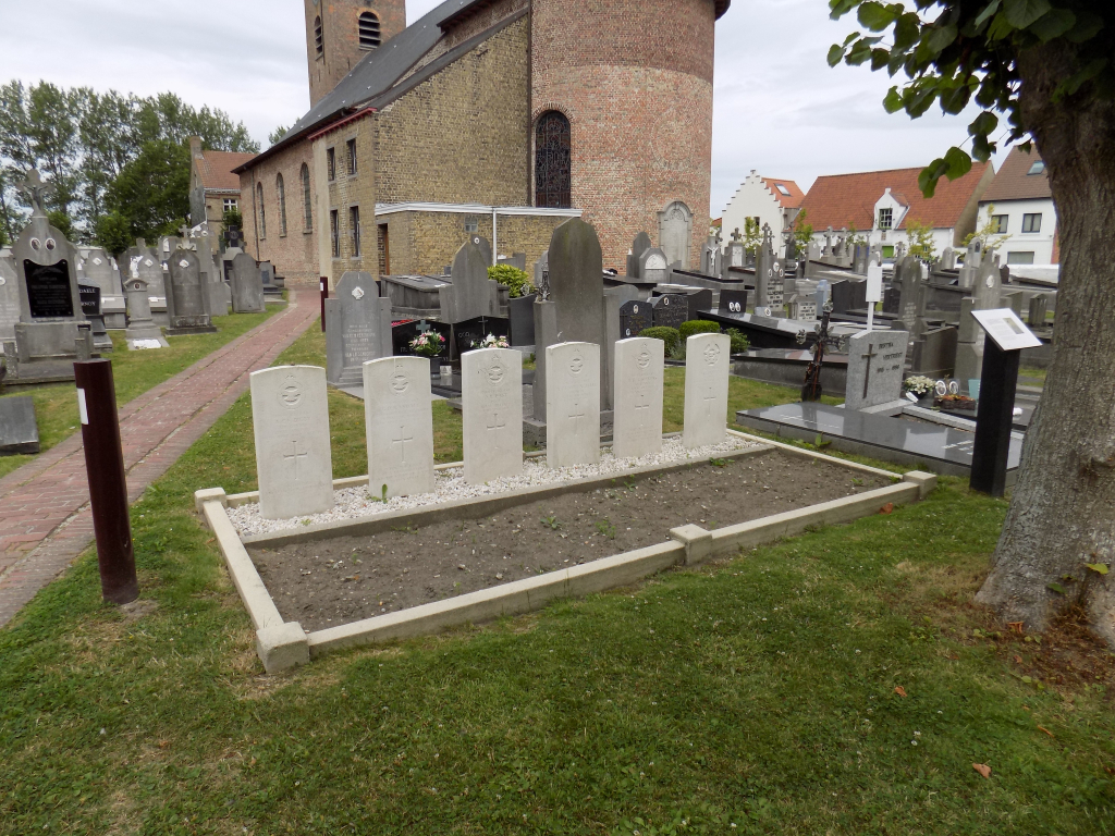
Vlissegem Churchyard
- Country Belgium
- Total identified casualties 7 Find these casualties
- Region West-Vlaanderen
- Identified casualties from Second World War
- GPS Coordinates Latitude: 51.25514, Longitude: 3.05611
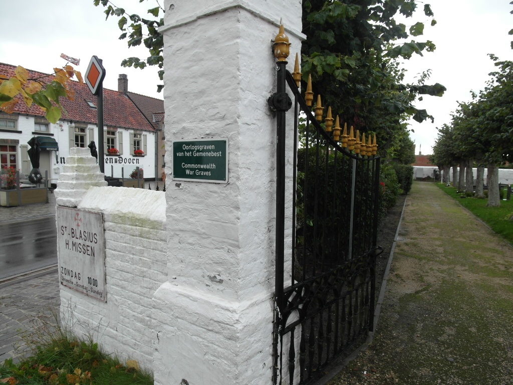
Location information
Vlissegem Churchyard is located 10 Km east of Oostende on the Vijfwegestraat, a road leading from the N9 connecting Oostende to Brugge. From Oostende the N9 begins at Sas Slijkens and continues for 8 km to the left hand junction with Vijfewegestraat. 2 km along Vijfewegestraat lies the village of Vlissegem. The churchyard itself is located on the Dorpsplaats in the centre of the village.
History information
The British Expeditionary Force was involved in the later stages of the defence of Belgium following the German invasion in May 1940, and suffered many casualties in covering the withdrawal to Dunkirk. Commonwealth forces did not return until September 1944, but in the intervening years, many airmen were shot down or crashed in raids on strategic objectives in Belgium, or while returning from missions over Germany.
Vlissegem Churchyard contains seven Commonwealth burials of the Second World War.