Wervik Communal Cemetery
- Country Belgium
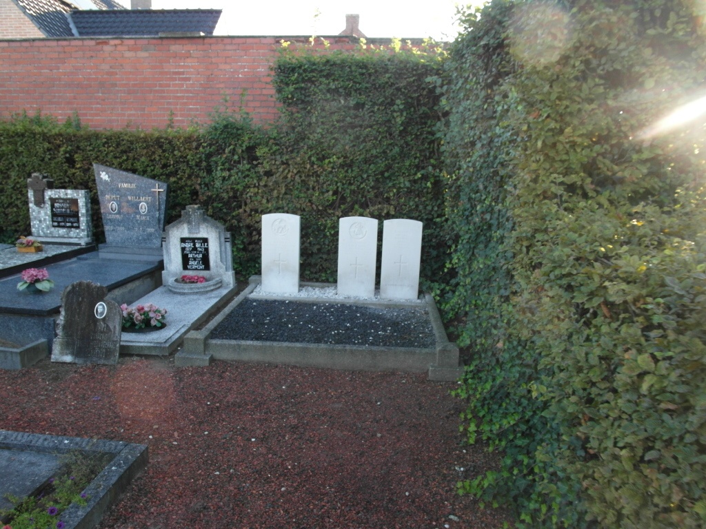
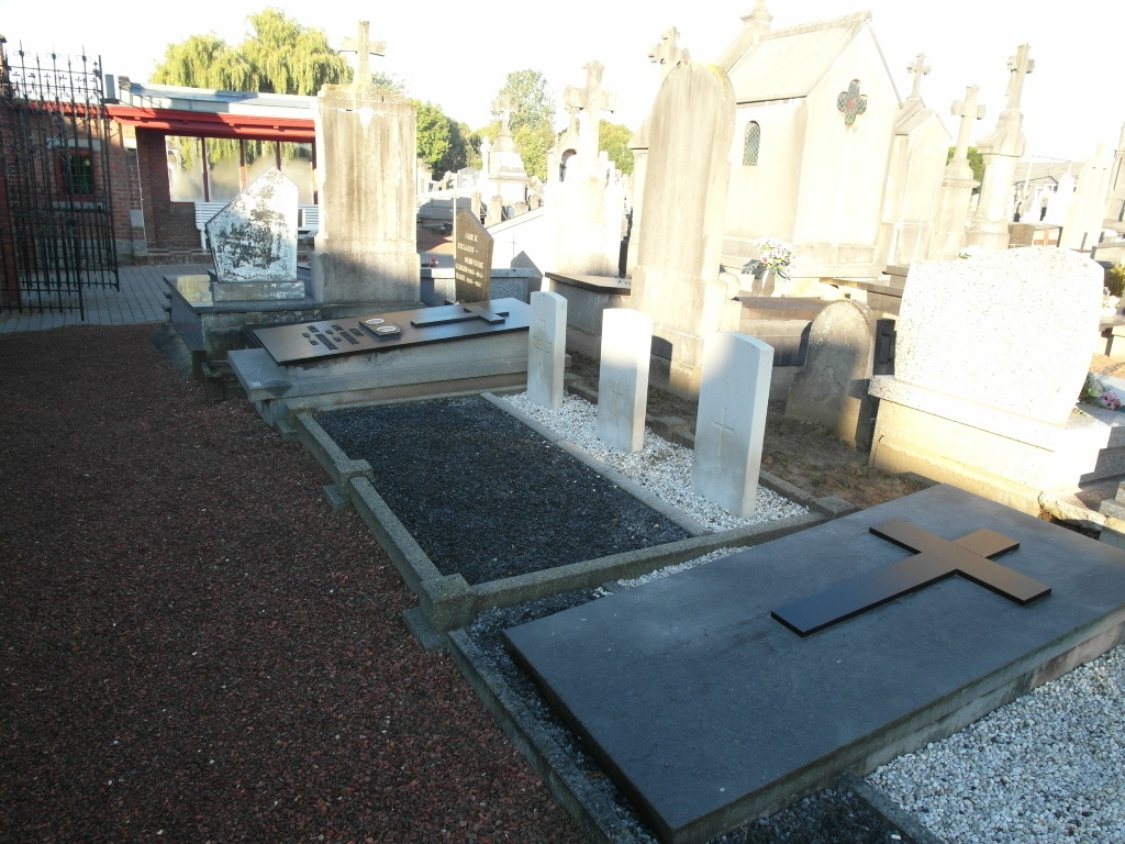
- Total identified casualties 4 Find these casualties
- Region West-Vlaanderen
- Identified casualties from Second World War
- GPS Coordinates Latitude: 50.77965, Longitude: 3.03159
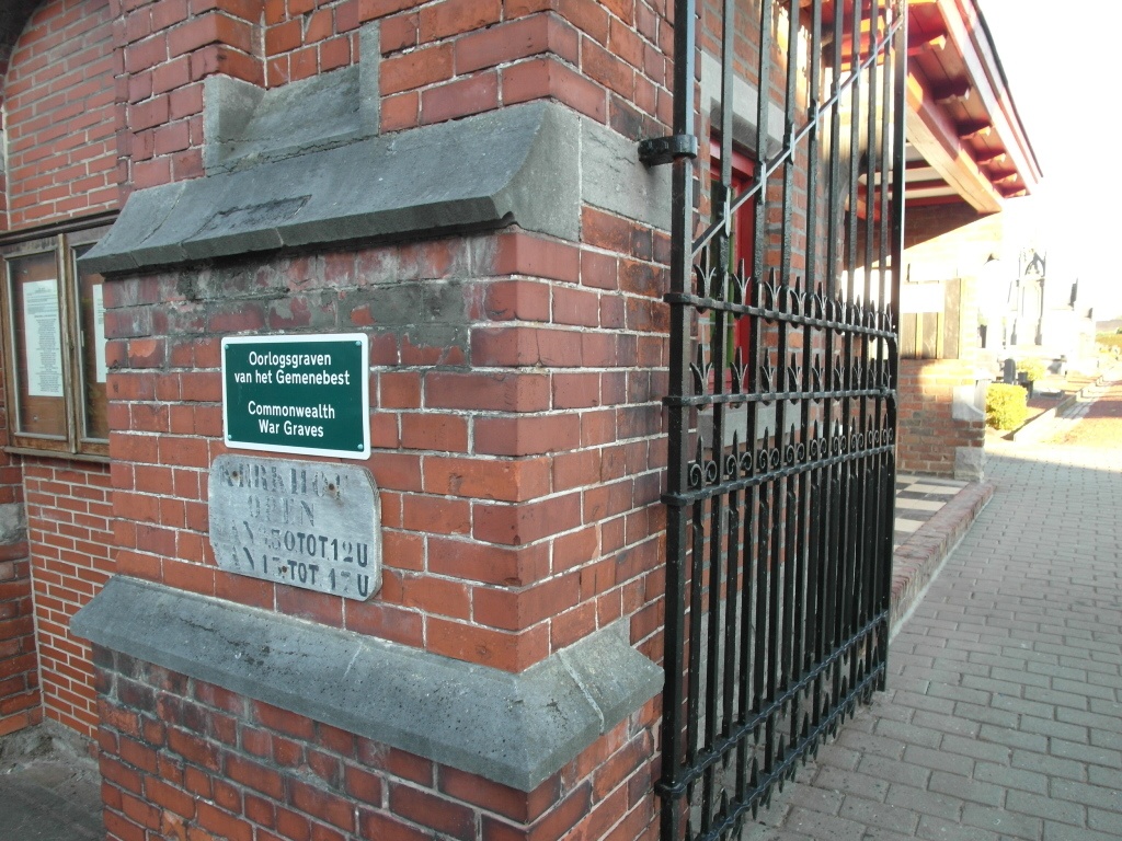
Location information
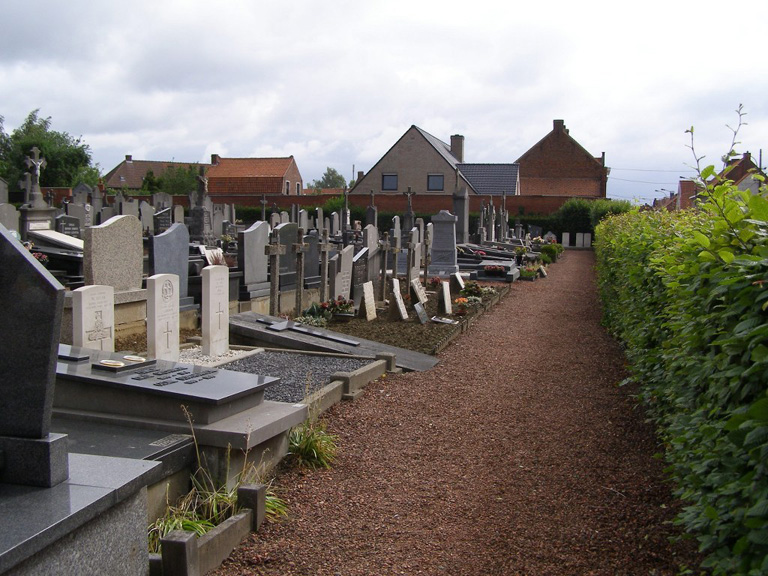
The village of Wervik, on the Franco-Belgian border, is 7 kilometres south-west of the town of Menen (Menin), on the N311 which runs between Geluwe and Komen (Comines). Driving from Menen follow the N8 direction Ieper, when you come to the village of Geluwe turn left onto the N311 towards Komen (Comines). As you come into Wervik follow the main road towards Komen (Comines), cross the railway. At the roundabout take the second exit onto Komenstraat. After half a kilometer the cemetery will be found on the right hand side of the road close to a pedestrian crossing. The war graves are located at the front of the cemetery on the right.
History information
The British Expeditionary Force was involved in the later stages of the defence of Belgium following the German invasion in May 1940, and suffered many casualties in covering the withdrawal to Dunkirk. Wervik Communal Cemetery contains six Commonwealth burials of the Second World War, two of them unidentified.