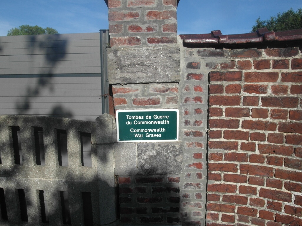
Estaimpuis Communal Cemetery
- Country Belgium
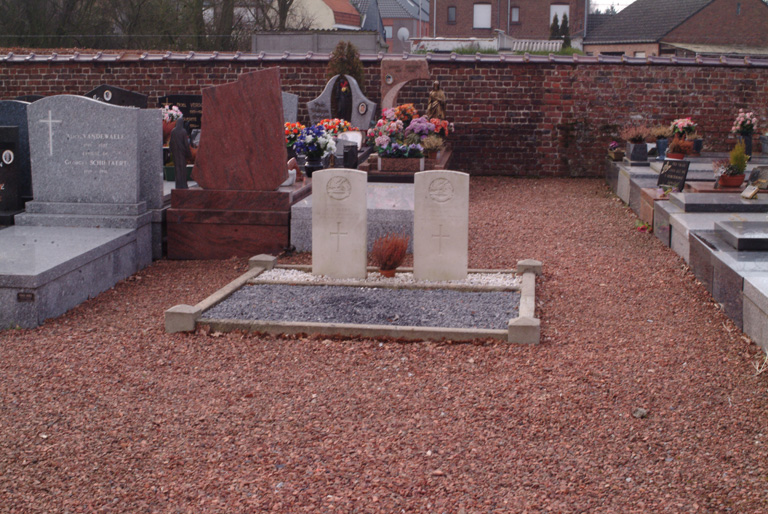
- Total identified casualties 2 Find these casualties
- Region Hainaut
- Identified casualties from Second World War
- GPS Coordinates Latitude: 50.708, Longitude: 3.26441

Location information
The town of Estaimpuis is located south of Mouscron off the A17. From the A17 which runs between Kortrijk and Tournai go past the junction with the N58 and take the next turning off. At the junction turn right along Blvd d'Herseaux, direction Herseaux. Take the second turning left along Rue de la Couronne direction Evregnies. Take the first turning right into Pave Bayart, follow this road into Estaimpuis and then first turn left into blvd des Deportes, then third left into rue du Cimetiere. The cemetery is at the end of this road and the graves are located through the main entrance and to the left.
History information
The British Expeditionary Force was involved in the later stages of the defence of Belgium following the German invasion in May 1940, and suffered many casualties in covering the withdrawal to Dunkirk. Estaimpuis Communal Cemetery contains two Commonwealth burials of the Second World War.