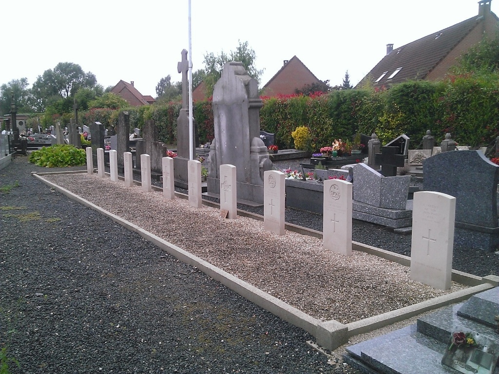
Bondues Communal Cemetery
- Country France
- Total identified casualties 10 Find these casualties
- Region Nord
- Identified casualties from Second World War
- GPS Coordinates Latitude: 50.69936, Longitude: 3.09567


Location information
Bondues is a town in the departement Nord, 15 kilometres north-north-east of Lille. From the church in Bondues, head south-east on the Rue Bosquel. At the traffic lights turn right. Bondues Communal Cemetery will be found on the left hand side of the road 50 metres from the traffic lights. The Commonwealth War Graves plot is situated in the top left hand corner of the cemetery.
History information
There are now over 10, 1939-45 war casualties commemorated in this site.