Le Doulieu Churchyard
- Country France
- Total identified casualties 1 Find these casualties
- Region Nord
- Identified casualties from Second World War
- GPS Coordinates Latitude: 50.68245, Longitude: 2.7176
Location information
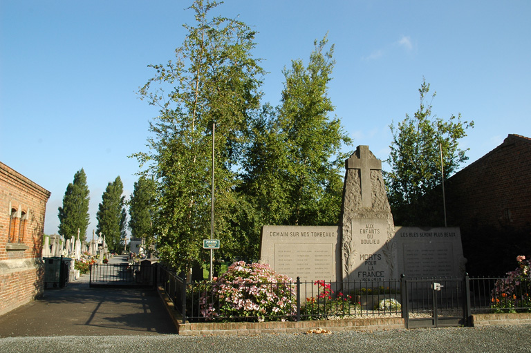
The village and commune of Le Doulieu is 25 kilometres (15.5 miles) west-north-west of Lille and 6 kilometres (4 miles) south of Bailleul. This is a small town on the N.42 road from Lille to Boulogne, with a railway station on the Lille-Hazebrouck-Calais and Dunkirk lines. It is the nearest station to Le Doulieu, and taxis are available to complete the journey. The one British grave in the churchyard is about 10 yards north of the north-eastern corner of the church.