Orville Communal Cemetery
- Country France
- Total identified casualties 1 Find these casualties
- Region Pas de Calais
- Identified casualties from Second World War
- GPS Coordinates Latitude: 50.13651, Longitude: 2.40873
Location information
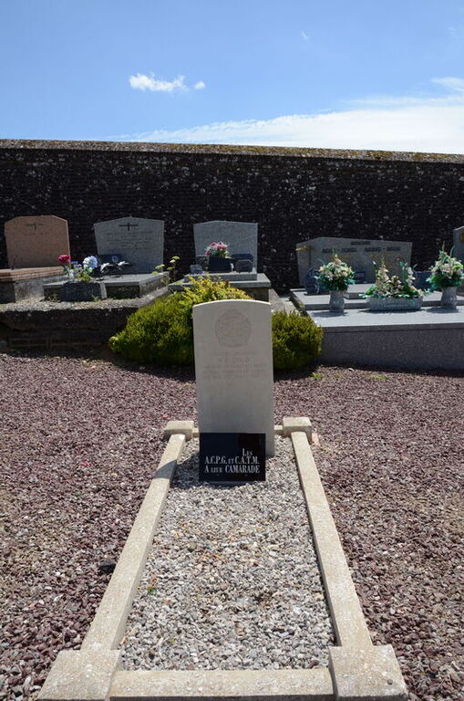
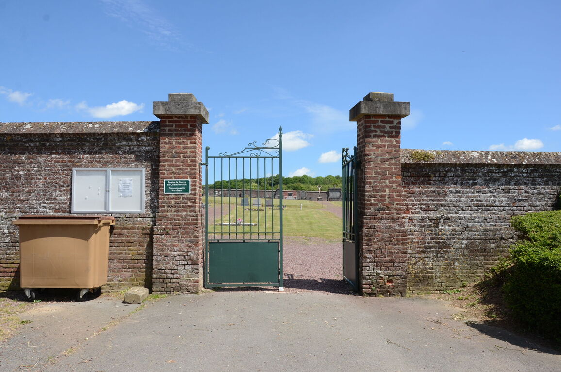
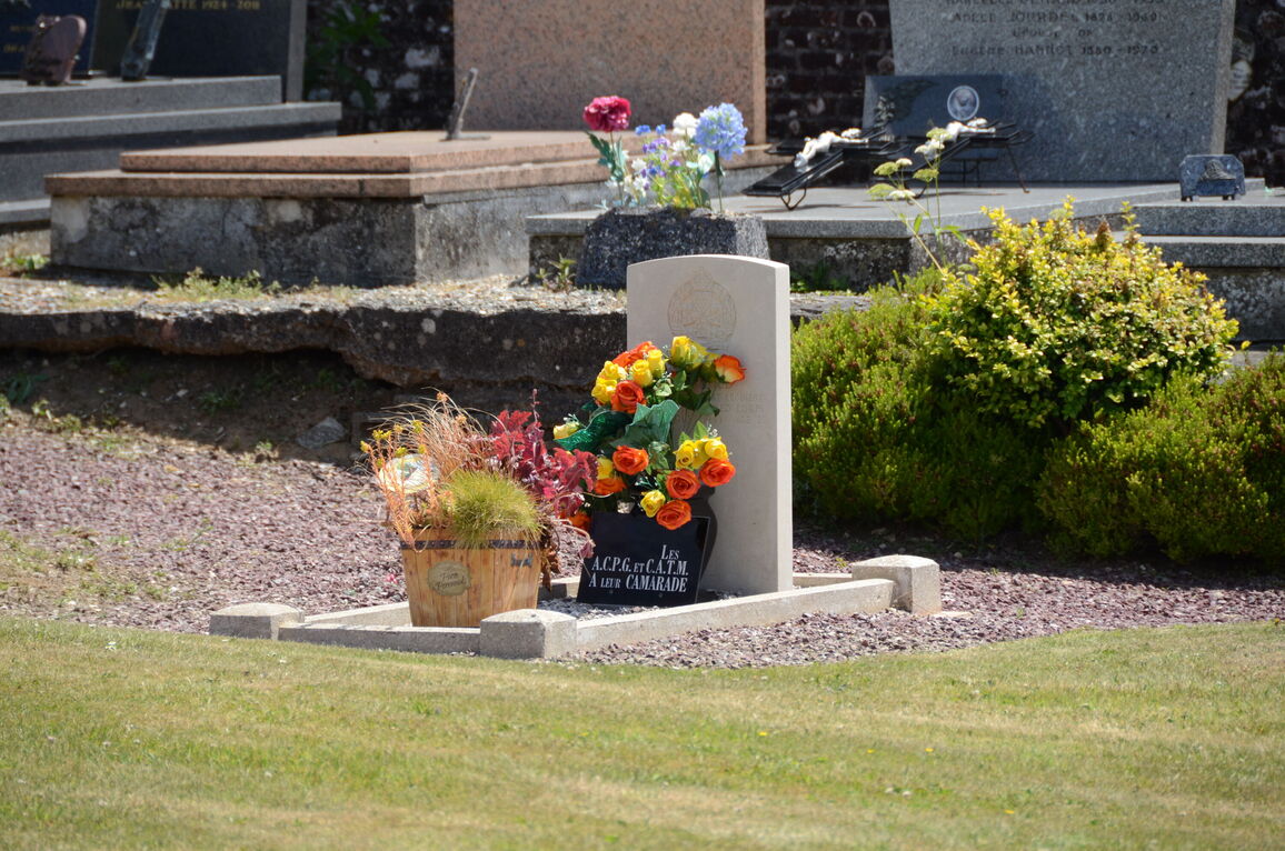
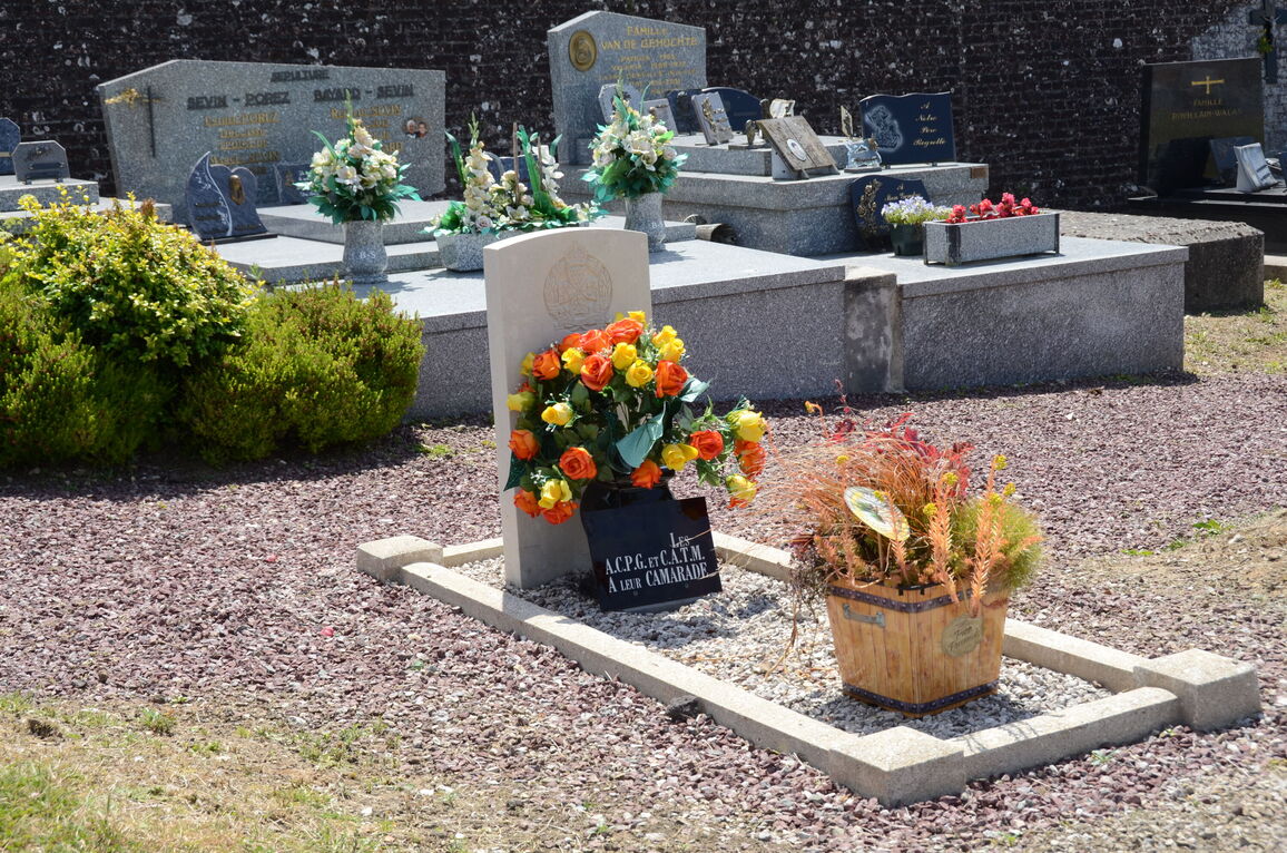
Orville, approximately 31 kilometres south-west of Arras and approx 5 kilometres south-east of Doullens, is a small town at the crossing of the N.25 (Arras-Abbeville) and N.16 (Amiens-Dunkirk) roads. The communal cemetery is on the northern side of the village, in a by-road off the road to Amplier. The one British grave is centrally situated, about 8 yards from the eastern boundary.