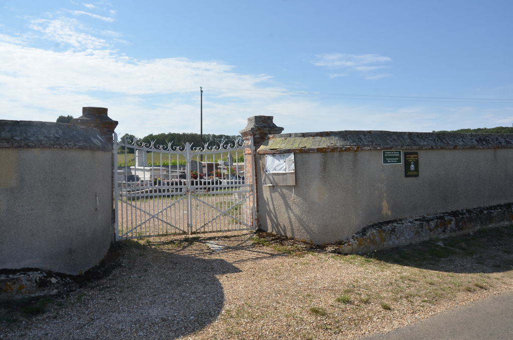
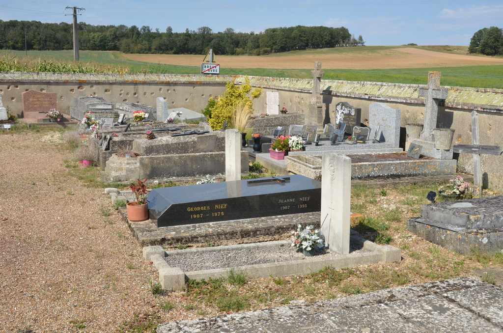
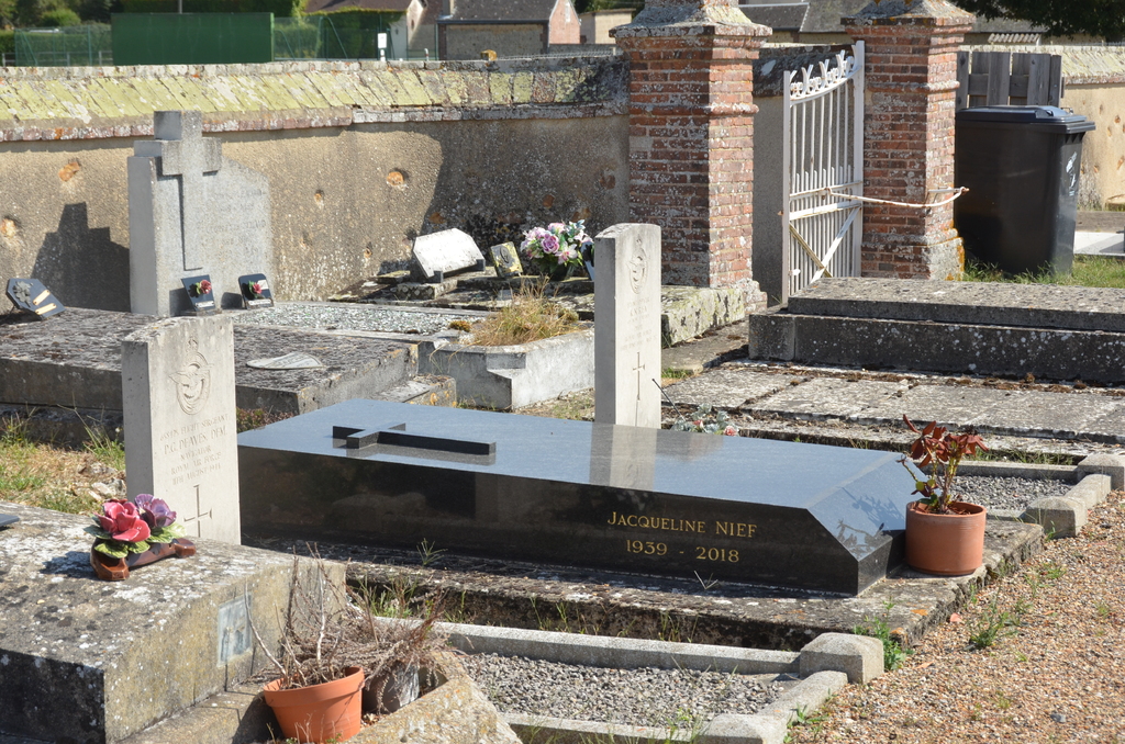
Breux-Sur-Avre Communal Cemetery
- Country France
- Total identified casualties 2 Find these casualties
- Region Eure
- Identified casualties from Second World War
- GPS Coordinates Latitude: 48.76262, Longitude: 1.08092
Location information
Breux-sur-Avre is a village and commune 8 kilometres west of Nonancourt. The cemetery is north-west of the village, on the road leading from the main Nonancourt-Verneuil road (N.12). Near the eastern wall, and five yards north of the entrance, are the graves of two airmen of the Royal Air Force.