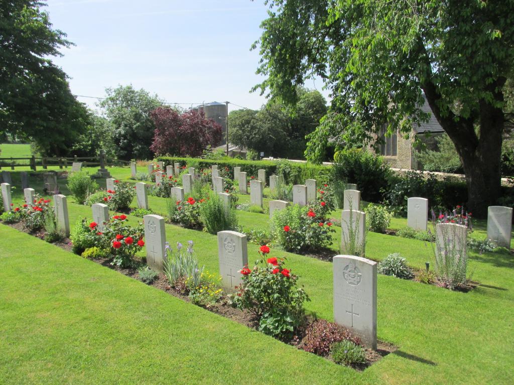
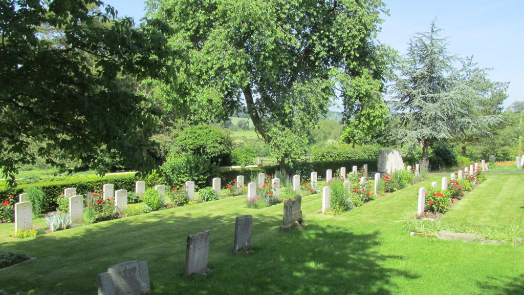
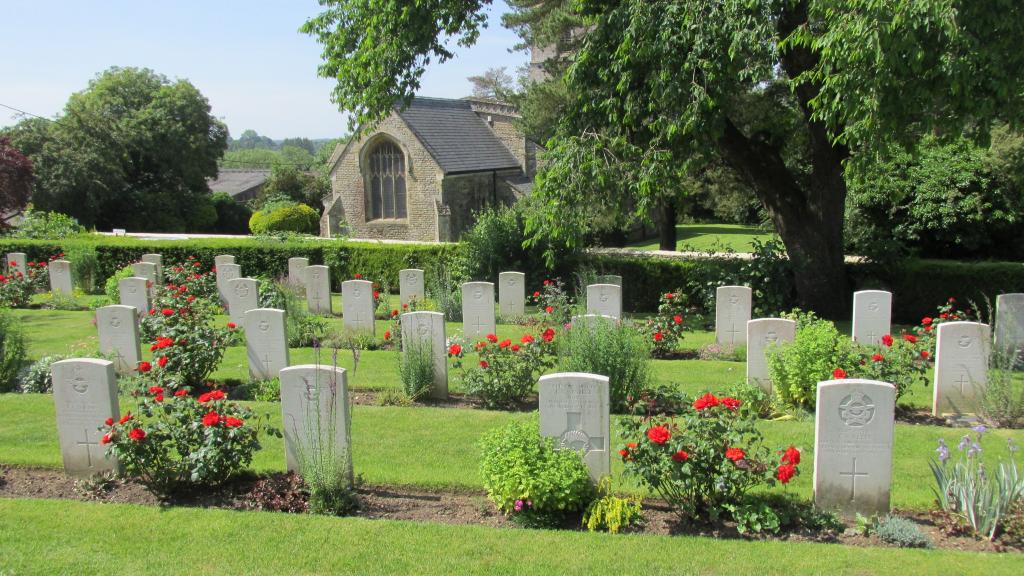
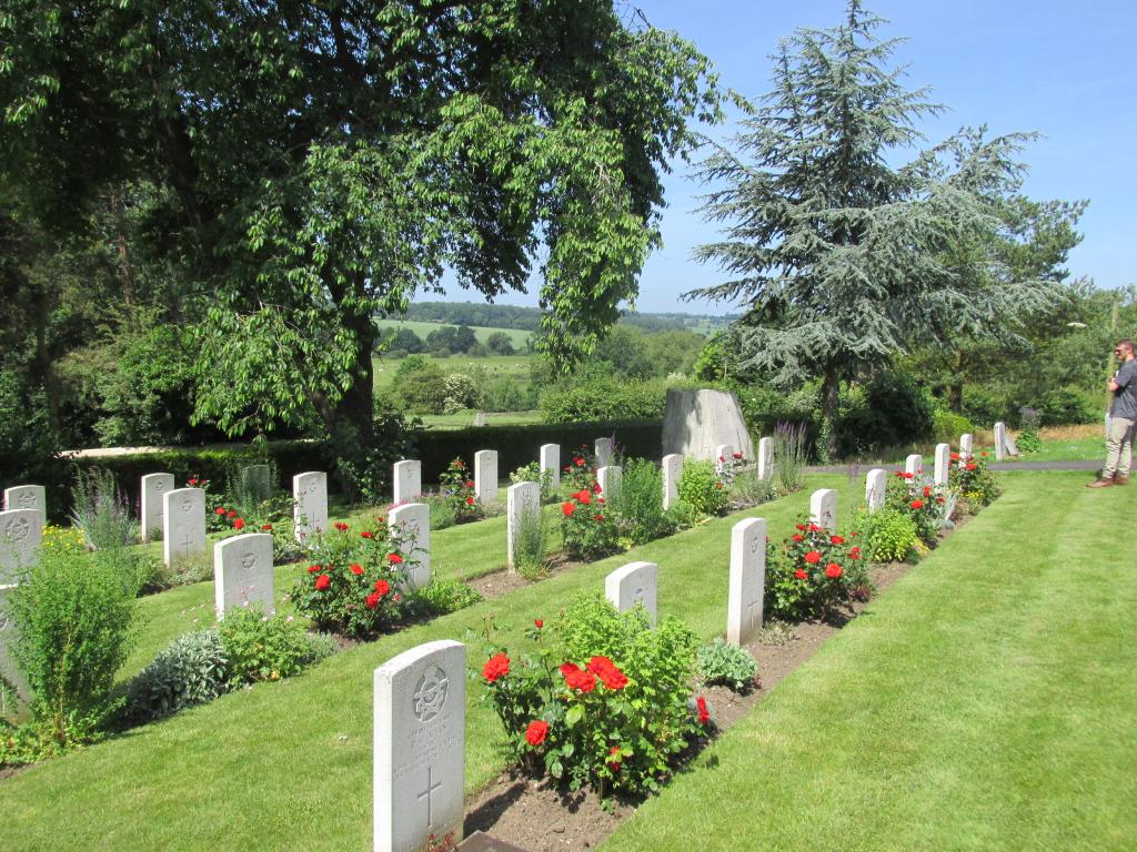
Upper Heyford Cemetery
- Country United Kingdom
- Total identified casualties 40 Find these casualties
- Region Oxfordshire
- Identified casualties from Second World War
- GPS Coordinates Latitude: 51.92935, Longitude: -1.2809
History information
The cemetery came into use about 1919 or 1920, when the churchyard ceased to be used for burials. It lies east of the churchyard, from which it is separated by a road. During the early part of the 1939-1945 War ground in the south-western corner was set aside for service war burials, and was used by the R.A.F. Station at Upper Heyford. This is now the War Graves Plot. Within the plot stands an oak seat, placed there by the relatives of one of the airmen buried in the plot.