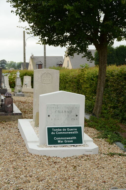
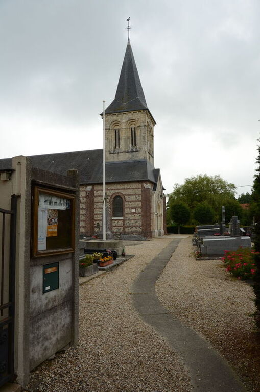
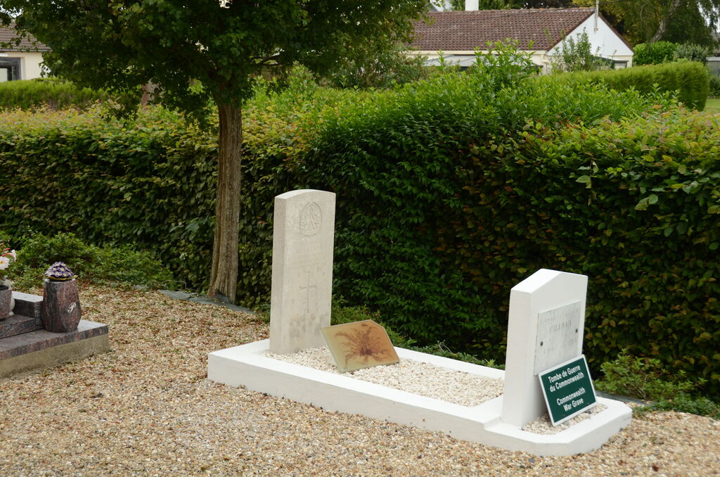
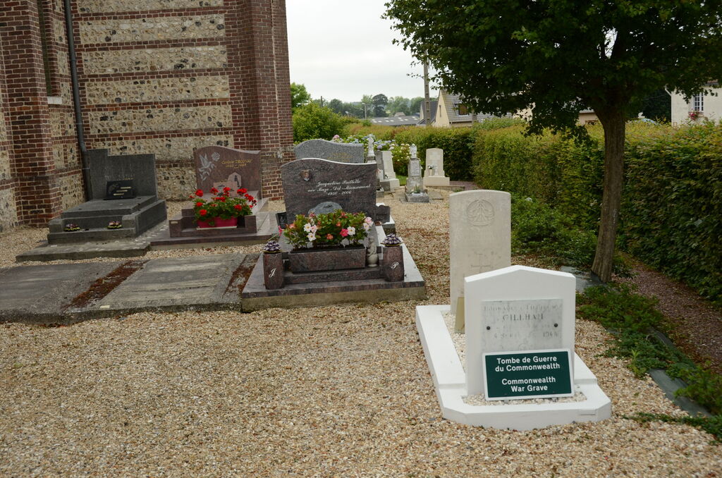
Mannevillette Churchyard
- Country France
- Total identified casualties 1 Find these casualties
- Region Seine-Maritime
- Identified casualties from Second World War
- GPS Coordinates Latitude: 49.59717, Longitude: 0.17533
Location information
Mannevillette is a village and commune 8 miles (13 kilometres) north of Le Havre, and 1.50 miles (2 kilometres) east of the N.40 road from Le Havre to Etretat. There is a bus service on this main road between Le Havre and Etretat. The British grave is some 8 yards east of the south-east corner of the church.