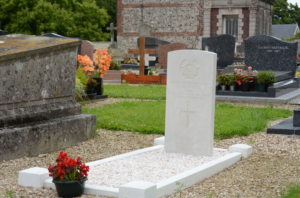
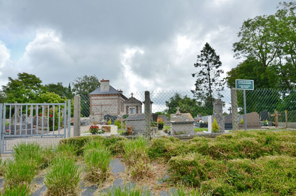
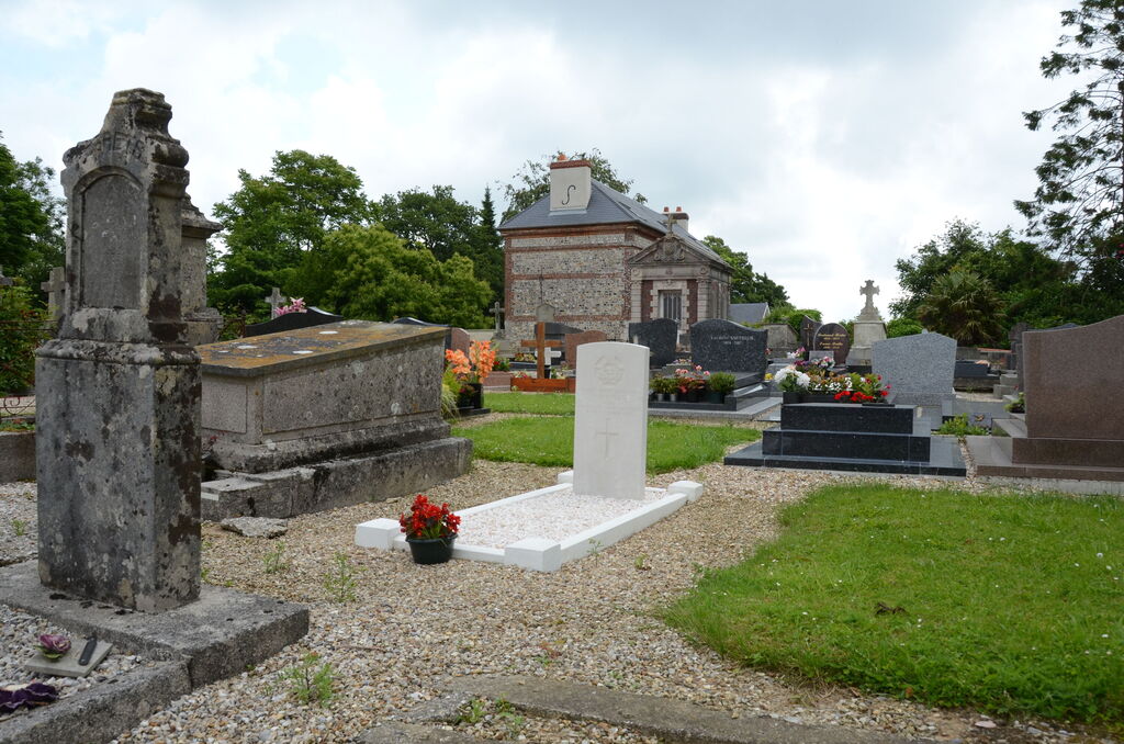
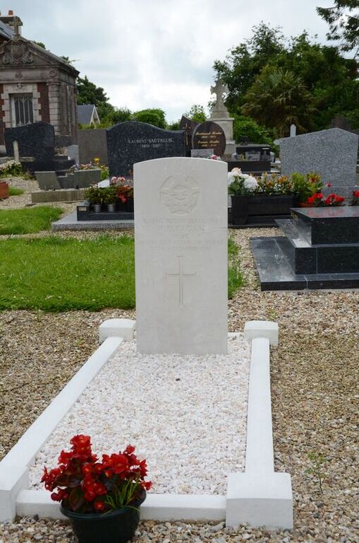
Tourville-Les-Ifs Communal Cemetery
- Country France
- Total identified casualties 1 Find these casualties
- Region Seine-Maritime
- Identified casualties from Second World War
- GPS Coordinates Latitude: 49.71588, Longitude: 0.4053
Location information
Tourville-les-Ifs is a village 33 kilometres north-east of Le Havre, and 7 kilometres south-east of Fecamp, on the D73 Fecamp-Bolbec road. The Cemetery is 500 metres down a small road leading east from the church. The Commonwealth grave is 10 yards south-east of the entrance gate.