Kilcommon Erris Church Of Ireland Churchyard
- Country Ireland, Republic of
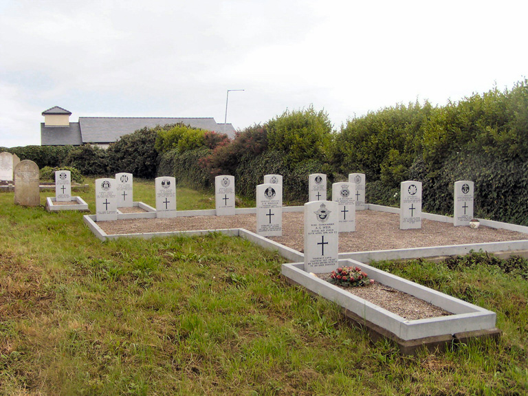
- Total identified casualties 13 Find these casualties
- Region County Mayo
- Identified casualties from Second World War
- GPS Coordinates Latitude: 54.22047, Longitude: -9.98608
History information
This churchyard is situated on high ground a quarter of a mile (100 m) from the town square of Belmullet at the approach to the Mullet Peninsula. There are 13 Commonwealth burials of the 1939-1945 war here, together on the northern side of the church.