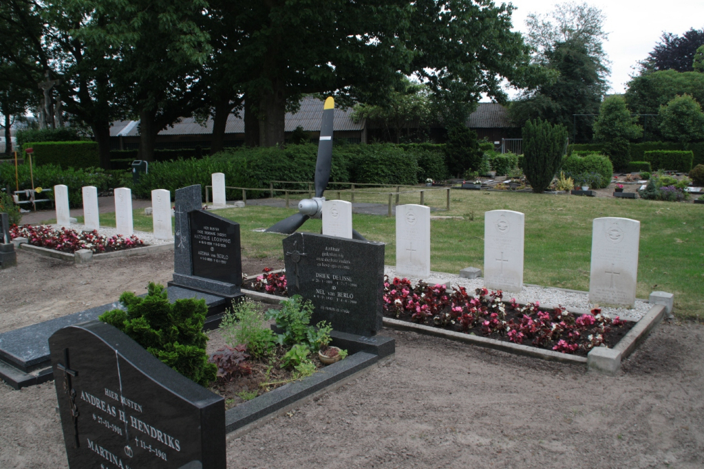
Erp Roman Catholic Cemetery
- Country Netherlands
- Total identified casualties 9 Find these casualties
- Region Noord-Brabant
- Identified casualties from Second World War
- GPS Coordinates Latitude: 51.59892, Longitude: 5.60566
Location information
Erp is a village 8 kilometres north-west of Gemert and 4.8 kilometres south-west of Veghel. The cemetery is south of the Veghel-Gemert road, about 270 metres from the church. The graves are in its south-east portion.