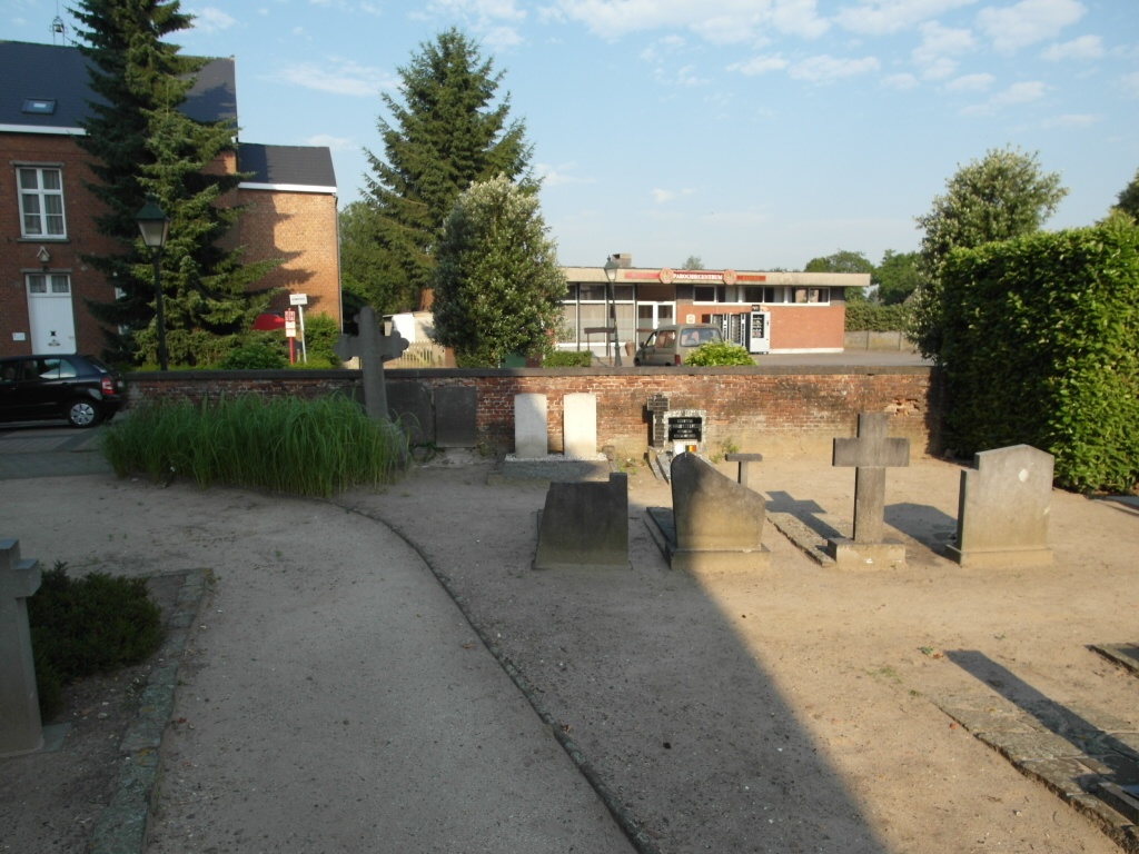
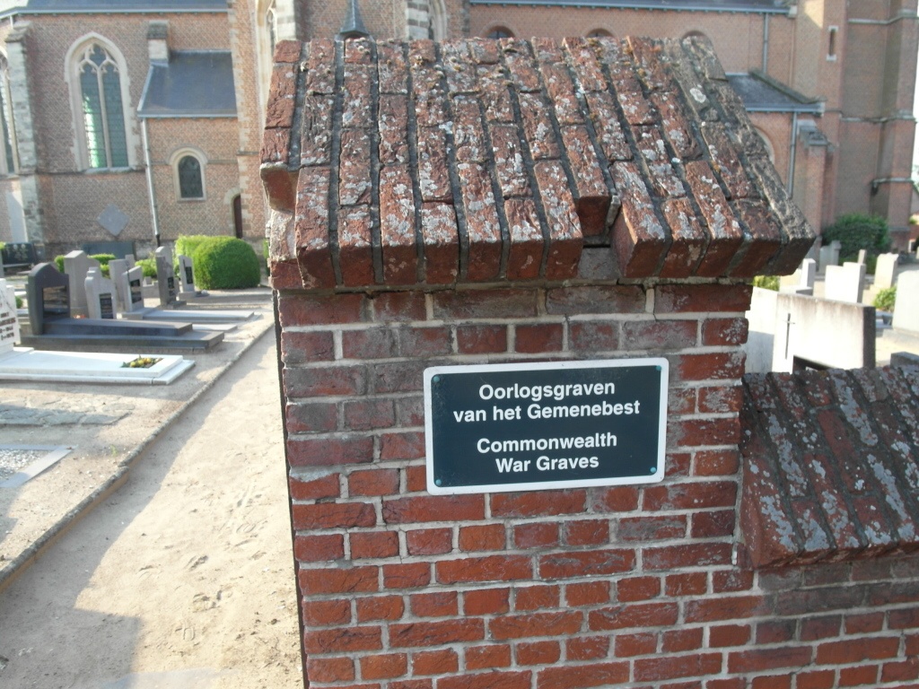
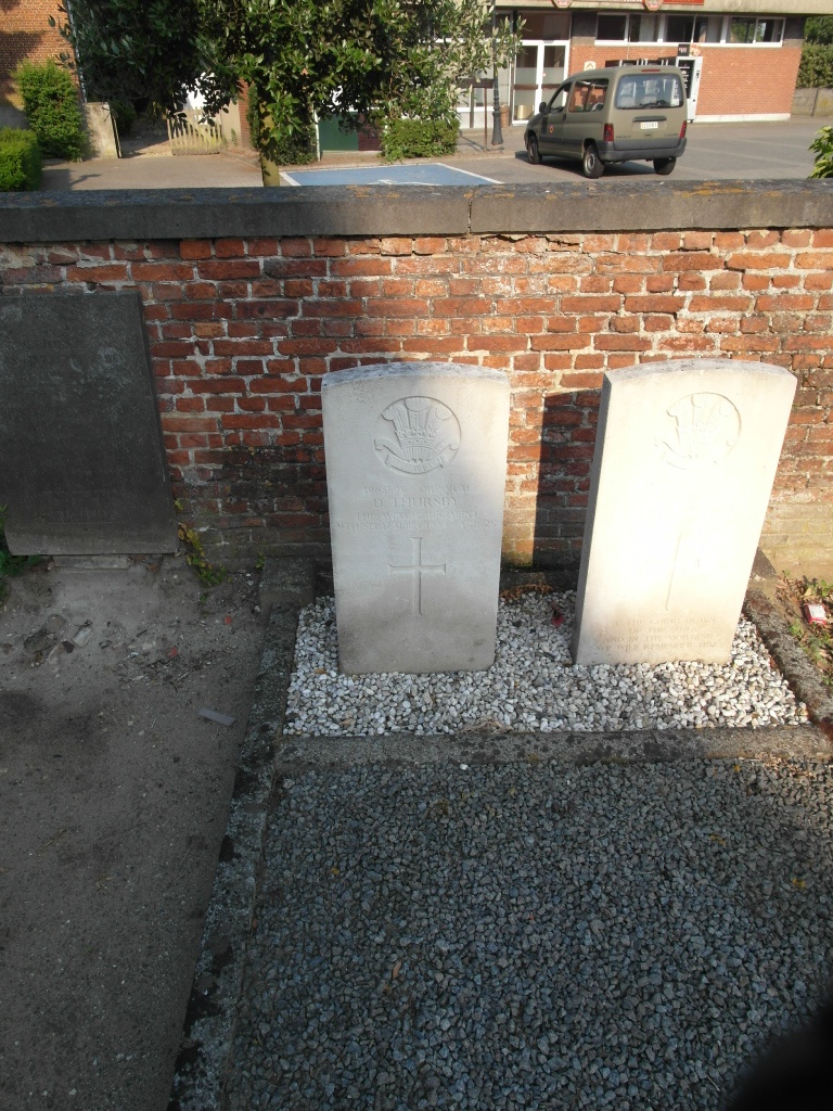
Viersel Churchyard
- Country Belgium
- Total identified casualties 2 Find these casualties
- Region Antwerpen
- Identified casualties from Second World War
- GPS Coordinates Latitude: 51.18758, Longitude: 4.64921
Location information
The village of Viersel is located east of the town of Antwerp off the E34/E313/A13 which runs between Antwerp and Luik. Driving from Antwerp follow the E34 to the junction with the E313, then follow the E313 direction Luik. Turn off at junction 19 Massenhoven. At the T junction turn left on the N14 direction Lier. After a short distance along the N14 take the first turning on the left signed for Viersel. This road is called Herentalsebaan. On entering the village take the first turning on the right called Parochiestraat and the church is a short way along on the right. The graves are located close to the church tower against the boundary wall.
History information
The British Expeditionary Force was involved in the later stages of the defence of Belgium following the German invasion in May 1940, and suffered many casualties in covering the withdrawal to Dunkirk. Commonwealth forces did not return until September 1944, but in the intervening years, many airmen were shot down or crashed in raids on strategic objectives in Belgium, or while returning from missions over Germany.
Viersel Churchyard contains two Commonwealth burials of the Second World War.