Westmalle Churchyard
- Country Belgium
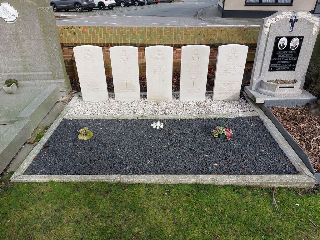
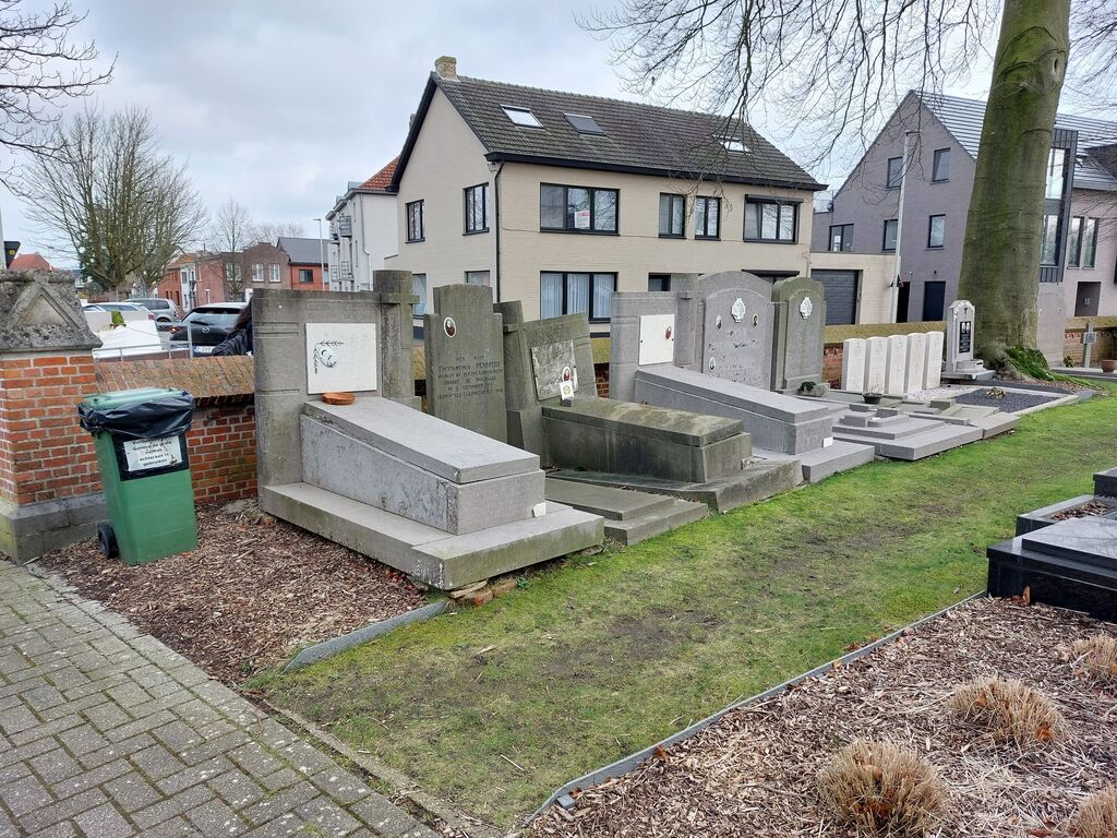
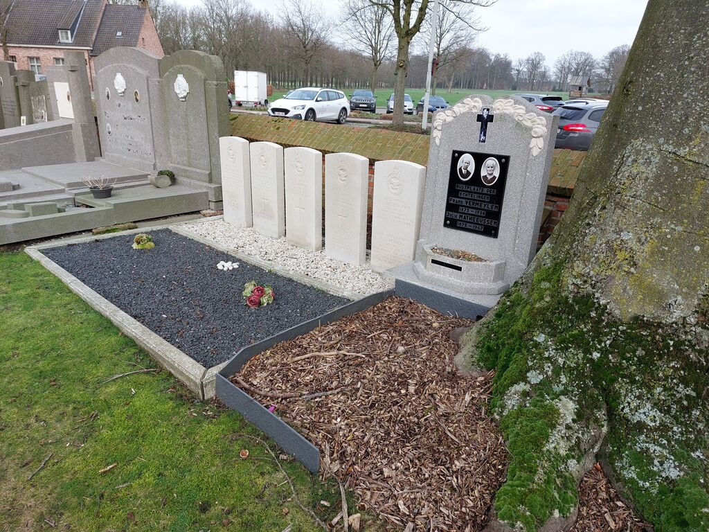
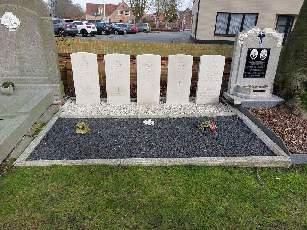
- Total identified casualties 7 Find these casualties
- Region Antwerpen
- Identified casualties from Second World War
- GPS Coordinates Latitude: 51.30152, Longitude: 4.69209
Location information
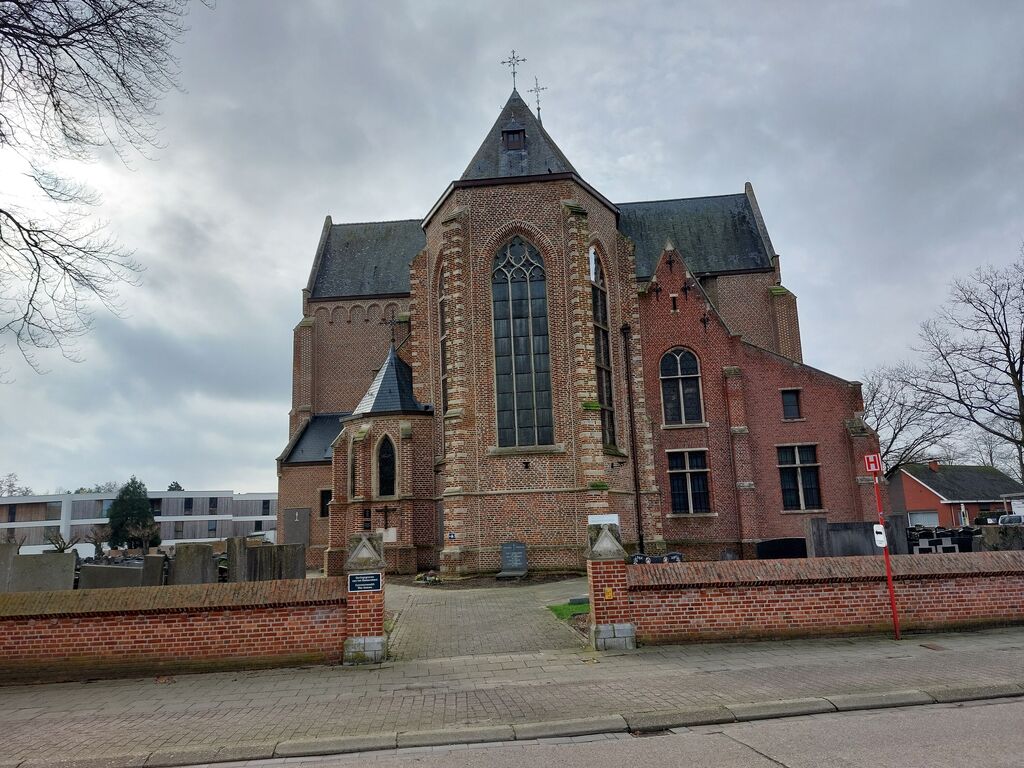
The village of Westmalle is located east of the town of Antwerp off the E34/A13 which runs between Antwerp and Eindhoven. Driving from Antwerp follow the E34 to the junction with the E313, then follow the E34 direction direction Eindhoven. Turn off at junction 20 Zoersel. At the T junction turn right on the N14 direction Zoersel, drive through the village and carry on along the N14 to the village of Oostmalle and the crossroads with the junction of the N12. Turn left onto the N12 direction Westmalle. On entering the village the town hall is on the right hand side. Turn right just past the town hall into Sint-Jozeflei, over the crossroads and the church is on the left. Enter the churchyard through the main gate and turn immediately left. The graves are on the left of the path about 10 meters from the gate against the churchyard boundary wall on the left.
History information
The British Expeditionary Force was involved in the later stages of the defence of Belgium following the German invasion in May 1940, and suffered many casualties in covering the withdrawal to Dunkirk. Commonwealth forces did not return until September 1944, but in the intervening years, many airmen were shot down or crashed in raids on strategic objectives in Belgium, or while returning from missions over Germany. Westmalle Churchyard contains the collective grave of seven Commonwealth airmen of the Second World War.