Fogo Churchyard
- Country United Kingdom
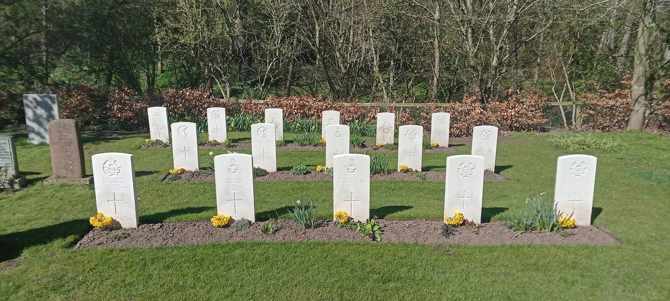
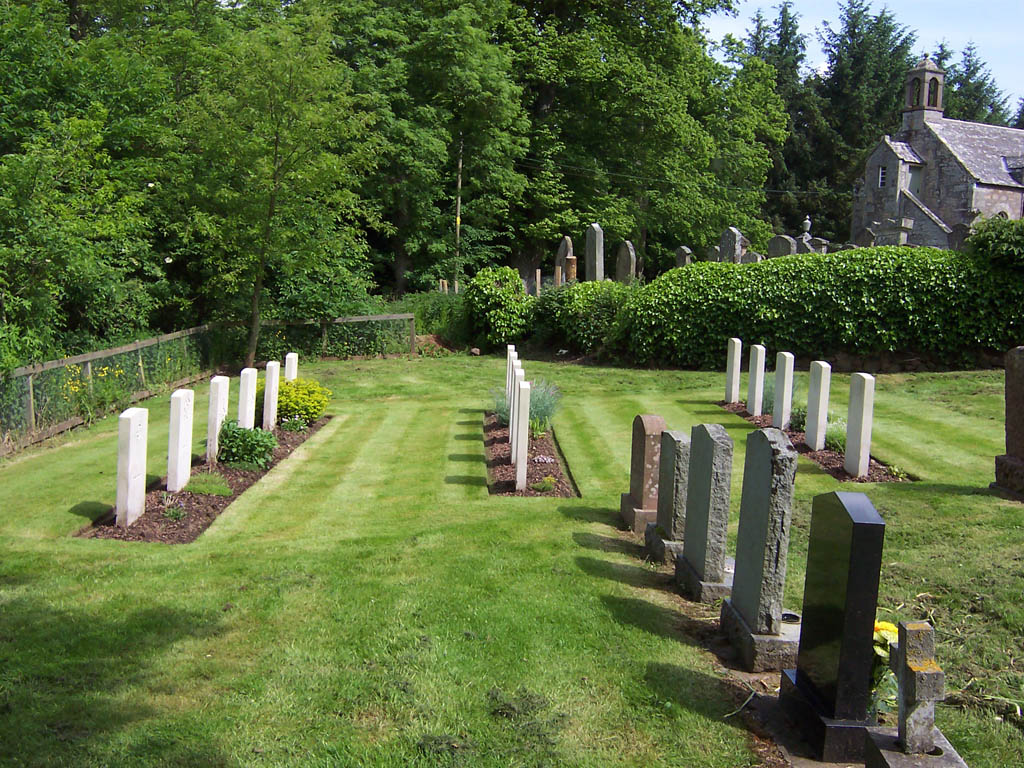
- Total identified casualties 16 Find these casualties
- Region Berwickshire
- Identified casualties from Second World War
- GPS Coordinates Latitude: 55.73539, Longitude: -2.36435


Location information
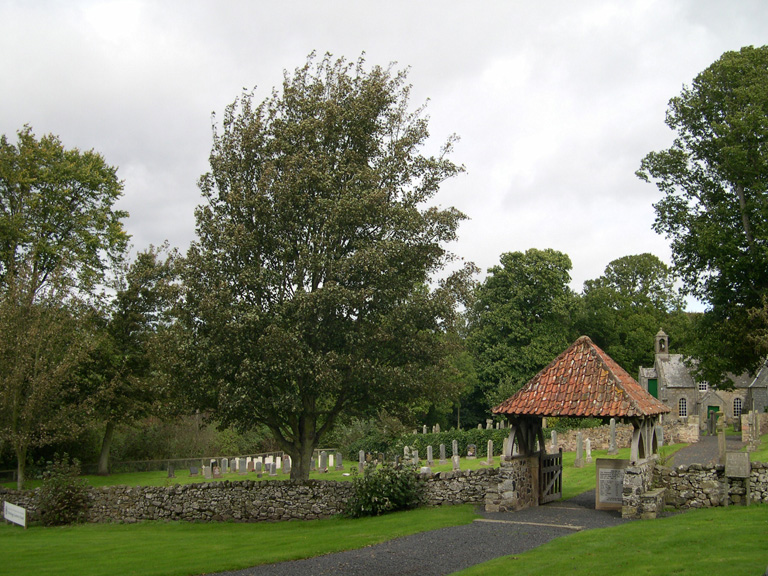
Fogo is a small hamlet, about 3 miles south of Duns, in the Scottish Borders. If travelling from Duns, head south on the A6112 for three miles, then turn left on to the B6460. After one mile, turn right on a minor road that leads to Fogo. The cemetery is on right hand side of the road, next to the church.
Visiting information
There is parking possible at the side of the road where the cemetery entrance is. The cemetery contains a maintained plot of CWGC graves.
History information
There are 16 burials of the 1939-1945 War in the churchyard.