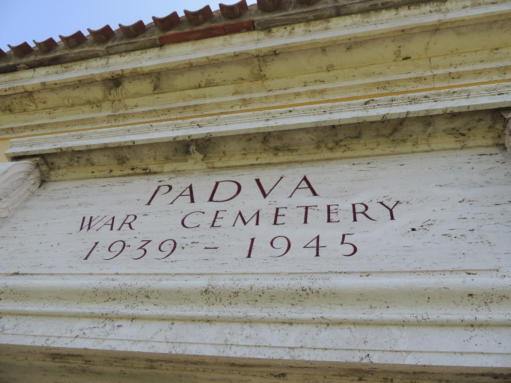
Padua War Cemetery
- Country Italy
- Total identified casualties 489 Find these casualties
- Identified casualties from Second World War
- GPS Coordinates Latitude: 45.42165, Longitude: 11.83996
Location information
Take the autostrada A13 exiting at Padua South, then head north to Vicenza into SR47. Alternatively, take the autostrada A4, exiting at Padua West, then head south into SR47. Then from SR47 take the exit n.4 to SS11. The SS11 in Padua is the Via Chiesanuova from which, at about 2 kilometres from the town centre, a right turn is made onto the Via della Biscia. Follow this road until you reach the cemetery on the right. Cemetery address: Via della Biscia 126 - 35136 Padova (PD) Veneto. GPS Co-ordinates: Latitude: 45.421618, Longitude: 11.839925.
Visiting information
PARKING
There is no car park at the cemetery. There is a flat and firm space to the side of the main road where visitors can park vehicles.
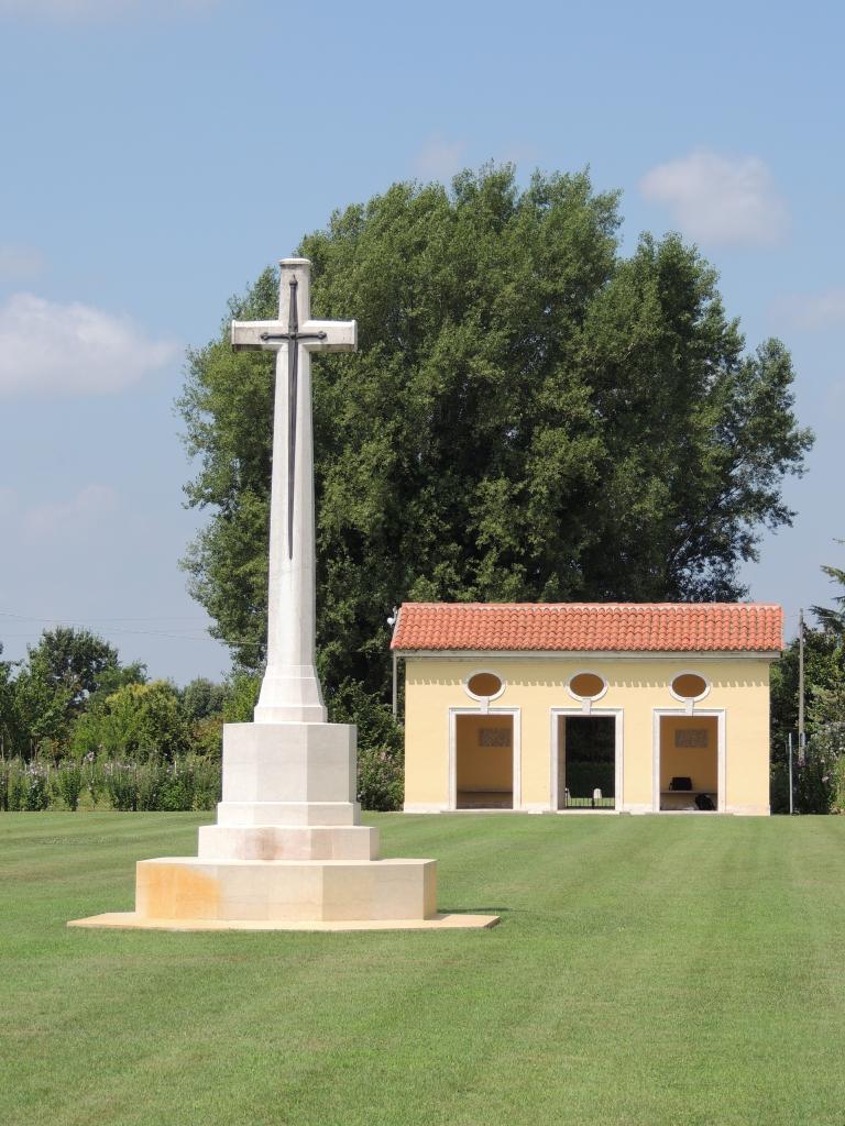
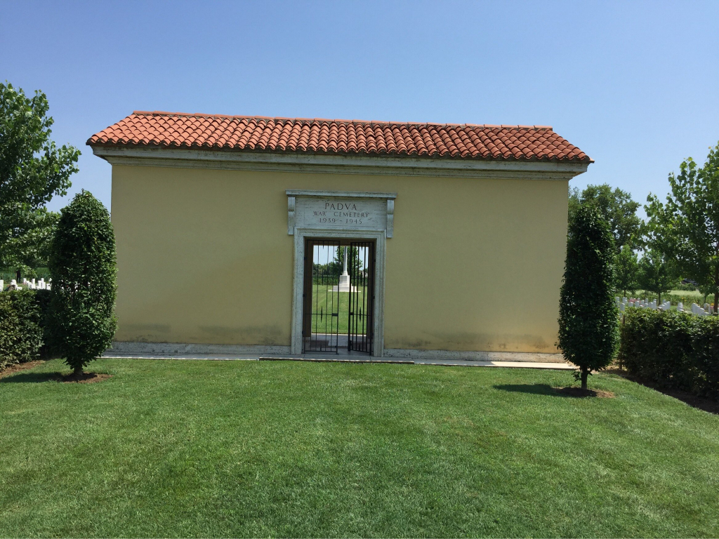
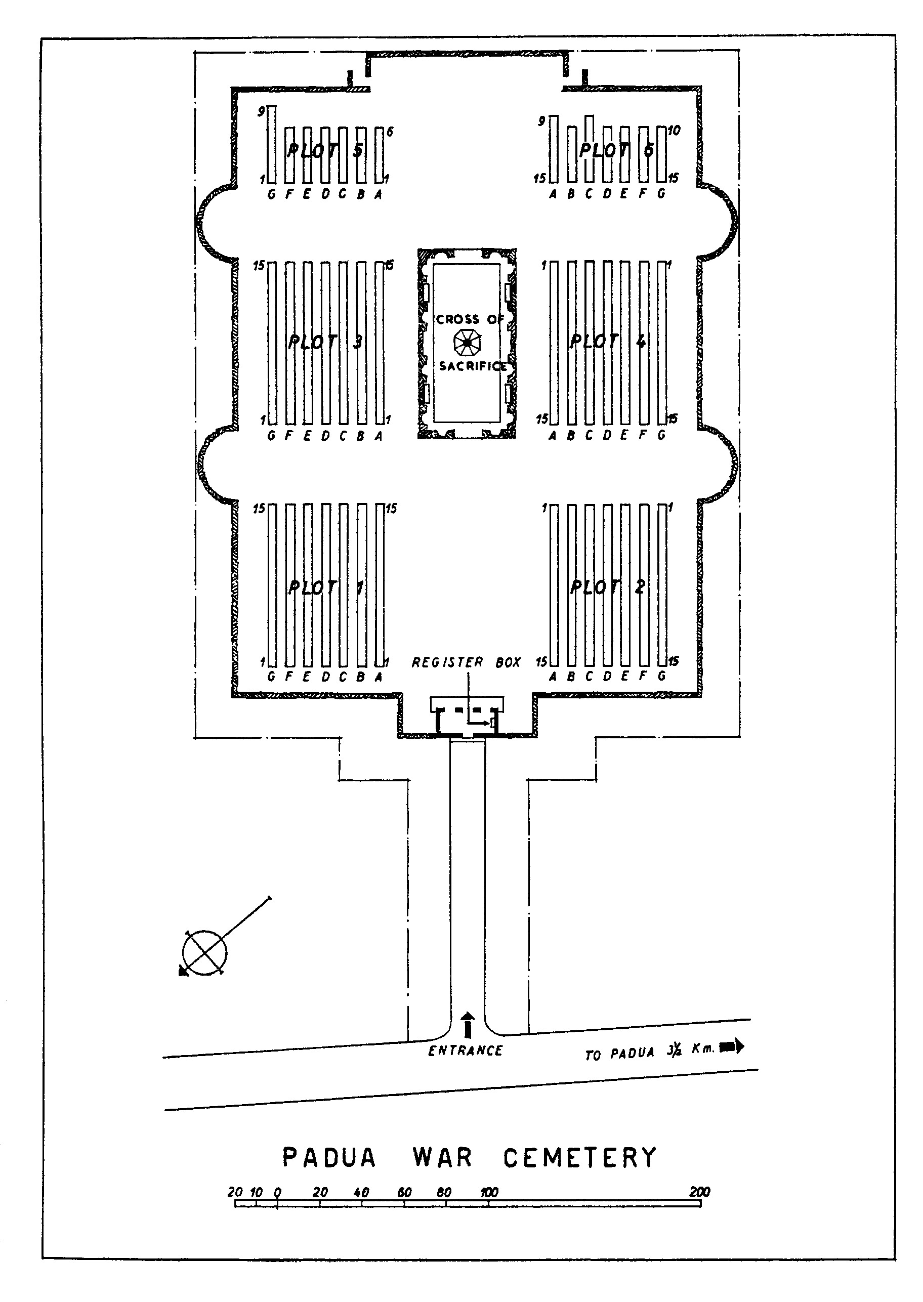
ACCESS, LAYOUT AND MAIN ENTRANCE
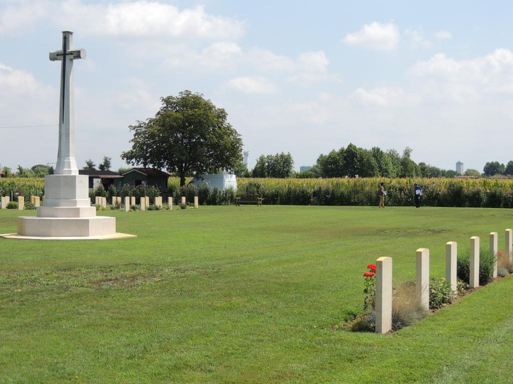
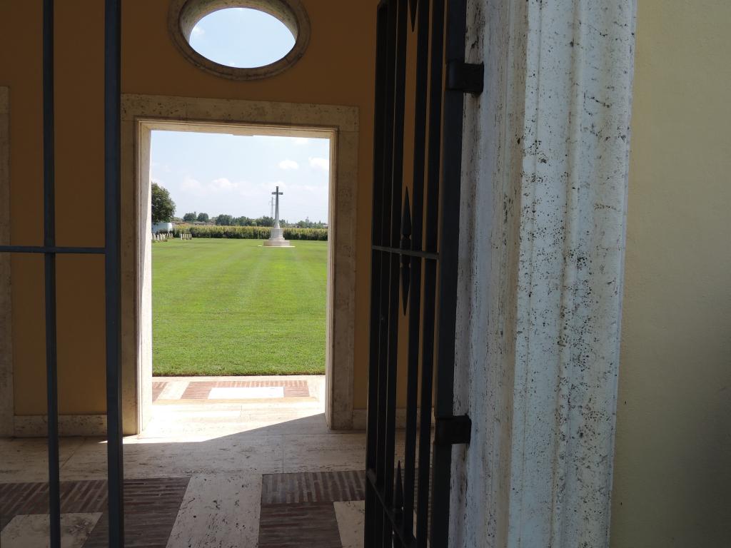
The cemetery is a large grass space and is enclosed with hedges and a green mesh fence. The approach from the main road is on a grassed area leading to the main entrance. Access to the cemetery is via a terracotta roofed, yellow stone building with central doorway and a two-section metal gate; each section approximately 600mm wide. Three openings lead out into the cemetery from the Entrance Building, directly onto grass. There is a Register Box in the main entrance building.
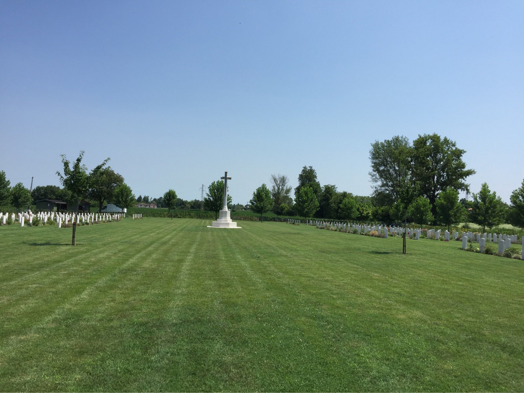
In the centre of the cemetery is a Cross of Sacrifice. There are wooden benches to the left and right of the Cross of Sacrifice.
The cemetery is wide and flat, and internal paths are normally firm. During periods of excessive rain, the grass can sometimes become waterlogged and muddy.
ALTERNATIVE ACCESS
The only access into Padua War Cemetery is through the main entrance building and main gate.
ADDITIONAL INFORMATION
The main entrance gate is locked outside of the gardener’s working hours. Visitors arriving outside working hours may access Padua War Cemetery through the main gate by unlocking a padlock on the gate. The code for the gate is “1221”.
History information
On 3 September 1943 the Allies invaded the Italian mainland, the invasion coinciding with an armistice made with the Italians who then re-entered the war on the Allied side.
The Allied advance was stalled for two successive winters: in 1943 on the German defensive position known as the Gustav Line, stretching from the river Gargliano in the west to the Sangro in the east, and in 1944 on the Gothic Line in the northern Appenine mountains. At the beginning of April 1945, the Allies launched their final offensive against the German positions spread out in a line across Italy, south of Bologna. German resistance was by now beginning to disintegrate and the Allies were able to fan out rapidly across the Po valley.
Padua War Cemetery lies in the zone of the Allied breakthrough in the spring of 1945 when, despite some resistance, the town was captured by Indian troops.
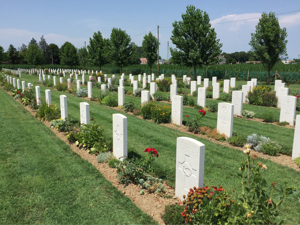
The cemetery contains 517 commonwealth burials of the Second World War, 32 of them unidentified. There are also four war graves of other nationalities and one non-war burial.