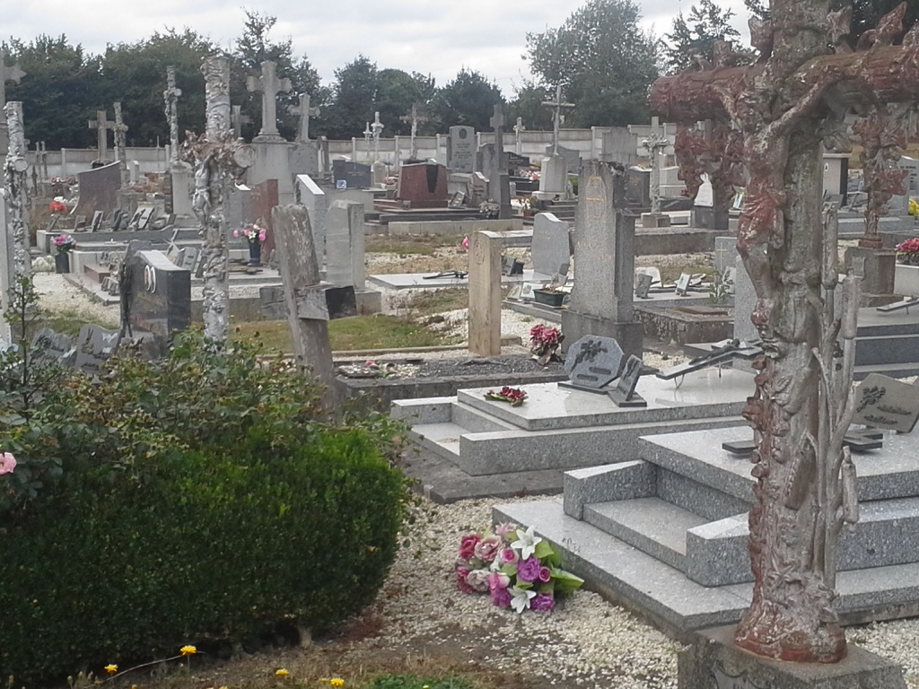
La Selle-La-Forge Communal Cemetery
- Country France
- Total identified casualties 1 Find these casualties
- Region Orne
- Identified casualties from Second World War
- GPS Coordinates Latitude: 48.73093, Longitude: -0.54467
Location information
The village and commune of La Selle-la-Forge is 4 kilometres south-east of Flers-de-l'Orne, a town on the Argentan-Vire-Granville road (N.24 bis). The cemetery is on the western side of La Selle-la-Forge, in a small road leading to the village off the D.8 road from Flers-de-l'Orne to Messei-St. Gervais. There is 1 Commonwealth burial of the 1939-1945 war here, in the north-eastern part of the burial ground.