Lucheux Communal Cemetery
- Country France
- Total identified casualties 1 Find these casualties
- Region Somme
- Identified casualties from Second World War
- GPS Coordinates Latitude: 50.1962, Longitude: 2.40499
Location information
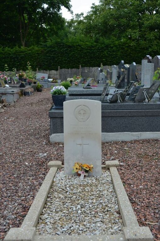
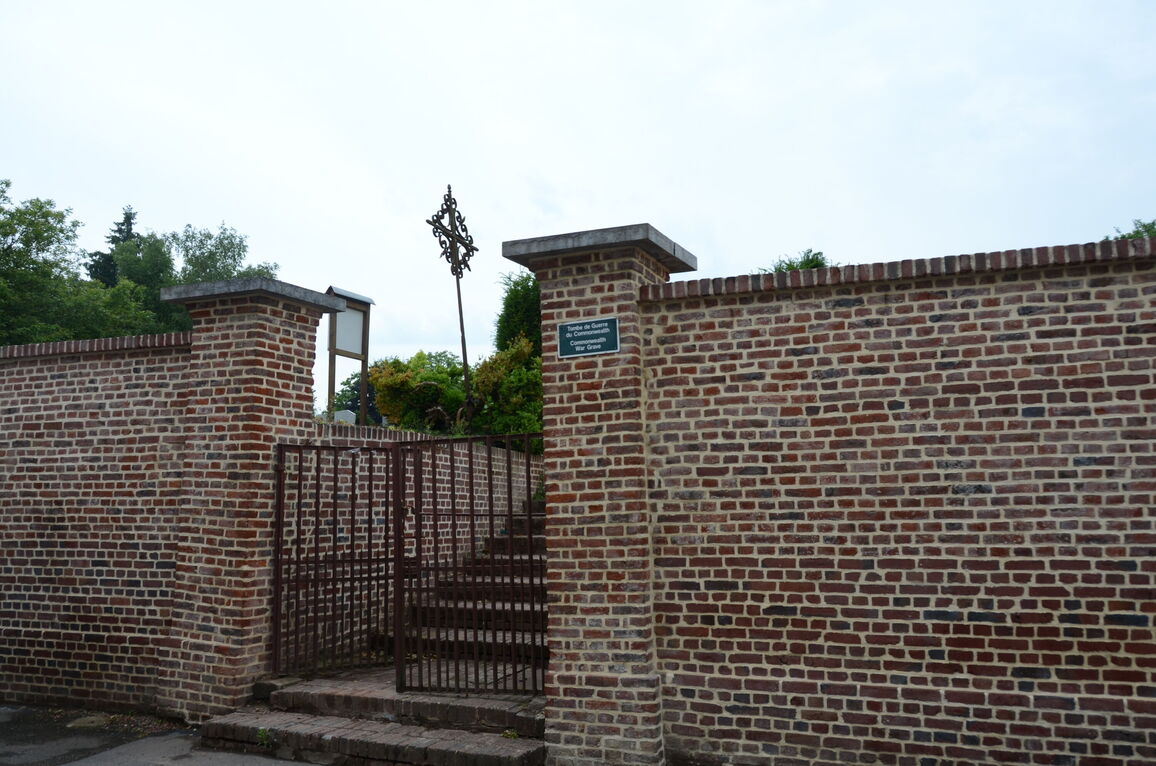
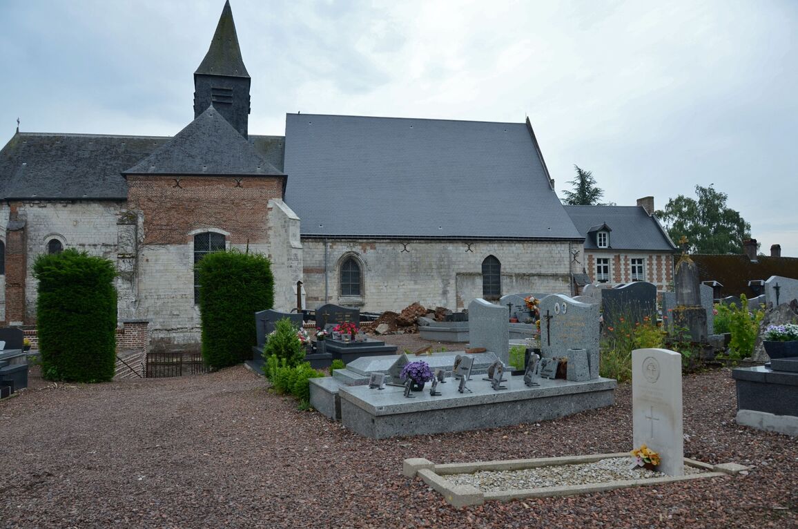
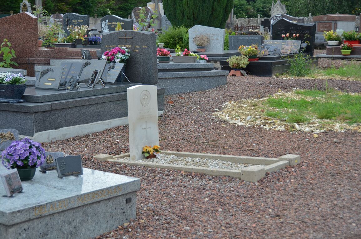
Lucheux is a village and commune about 7 kilometres north-east of the small town of Doullens. The communal cemetery is on the north-western side of the D.5 road, opposite the village church. The British grave is on the left side of the main path, about 20 metres from the entrance.