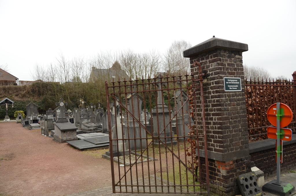
Bevere Communal Cemetery
- Country Belgium
- Total identified casualties 2 Find these casualties
- Region Oost-Vlaanderen
- Identified casualties from Second World War
- GPS Coordinates Latitude: 50.853, Longitude: 3.59434
Location information
The community of Bevere is located north-west of the town of Oudenaarde on the N459. From the motorway E40/A10, which runs between Oostende and Brussels, turn off at junction 15 onto the N60, direction Oudenaarde. Follow this road to the junction with the N459, turn left here along Beverestraat and the cemetery is on the left about 500 metres from the junction. The graves are located in two separate plots and they are located at the far end of the path from the main entrance.
History information
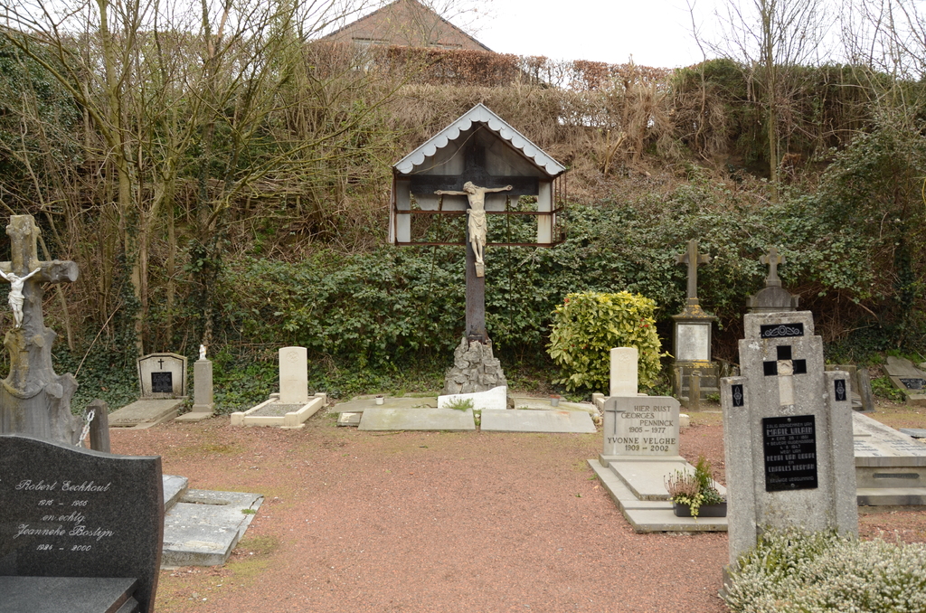
The British Expeditionary Force was involved in the later stages of the defence of Belgium following the German invasion in May 1940, and suffered many casualties in covering the withdrawal to Dunkirk. Bevere Communal Cemetery contains two Commonwealth burials of the Second World War.