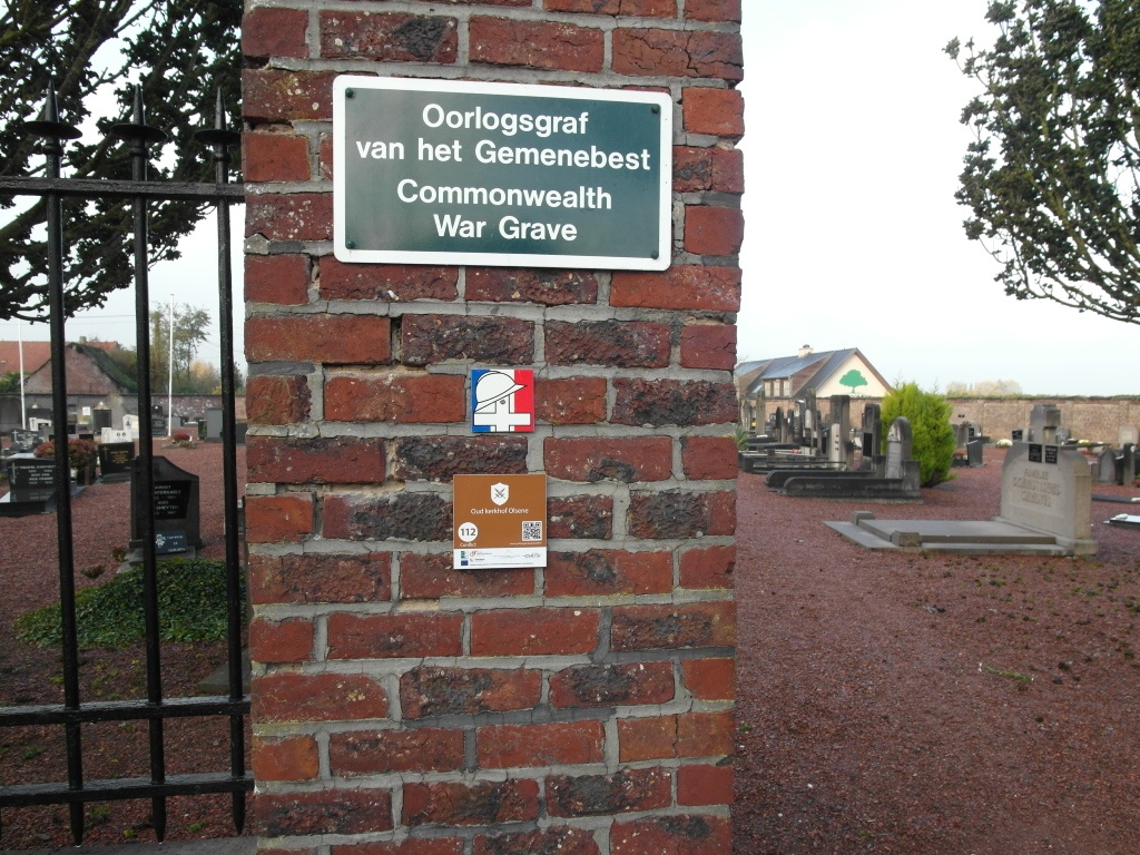
Olsene Communal Cemetery
- Country Belgium
- Total identified casualties 1 Find these casualties
- Region Oost-Vlaanderen
- Identified casualties from Second World War
- GPS Coordinates Latitude: 50.94056, Longitude: 3.45655
Location information
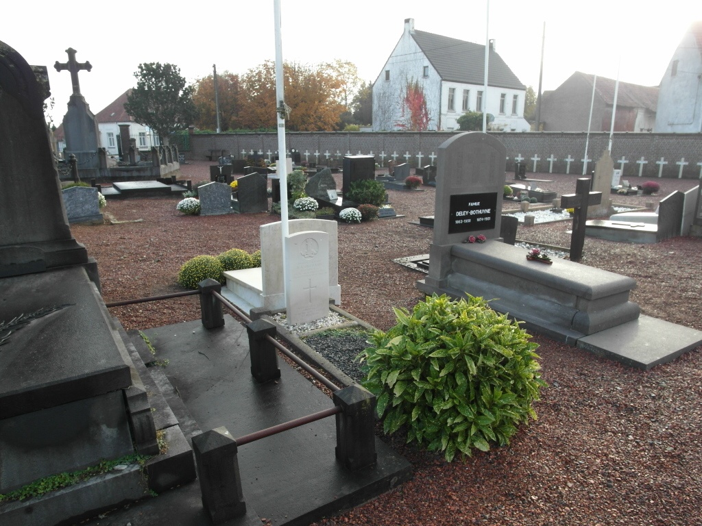
The village of Olsene is located south-west of the city of Gent on the N43. From the motorway E17/A14, which runs between Kortrijk and Antwerp, turn off at junction 6 onto the N459, direction Olsene & Tielt. Follow this road to the village of Olsene. In the centre of the village drive past the Market Square and at the junction with the N43 Grote Steenweg turn left. After driving along the other side of the market square turn right into Kerkstraat and in the direction of Dentergem. The cemetery will be found on the left hand side of the road just as it leaves the edge of the village and before crossing the river. The grave is located to the rear of the cemetery next to the main pathway.
History information
The British Expeditionary Force was involved in the later stages of the defence of Belgium following the German invasion in May 1940, and suffered many casualties in covering the withdrawal to Dunkirk. Commonwealth forces did not return until September 1944, but in the intervening years, many airmen were shot down or crashed in raids on strategic objectives in Belgium, or while returning from missions over Germany.
Olsene Communal Cemetery contains one Commonwealth burial of the Second World War.