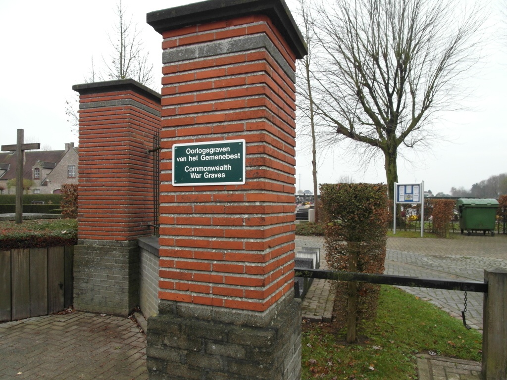
Outer Communal Cemetery
- Country Belgium
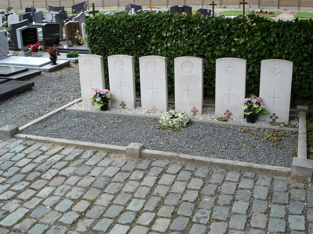
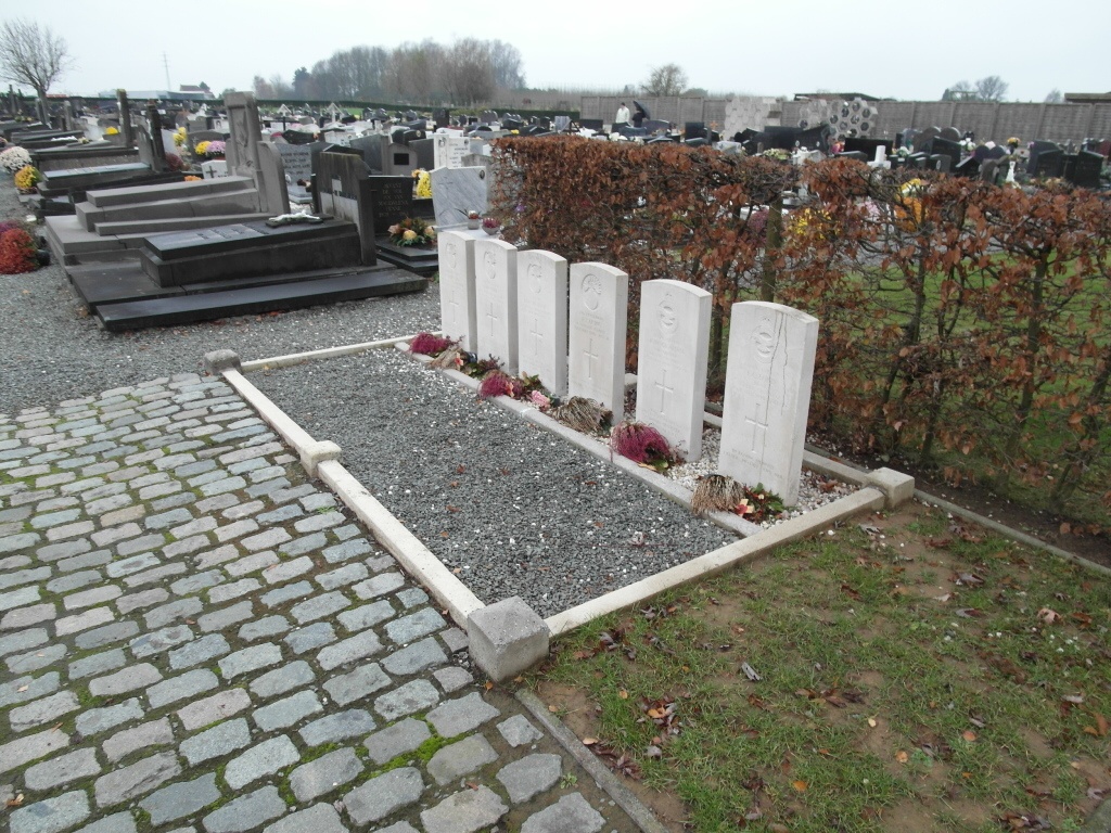
- Total identified casualties 6 Find these casualties
- Region Oost-Vlaanderen
- Identified casualties from Second World War
- GPS Coordinates Latitude: 50.83888, Longitude: 3.99529
Location information
The village of Outer is located south of the town of Aalst on the N405/N8. From the motorway E40/A10, which runs between Oostende and Brussels, turn off at junction 19 onto the N45 direction Ninove. Follow this road to Ninove and the junction with the N405. Turn right onto the N405 and then take the fourth turning right along Outerstraat, direction Outer. At the first crossroads go straight over and the cemetery is along on the left. The graves are located near the entrance.
History information
The British Expeditionary Force was involved in the later stages of the defence of Belgium following the German invasion in May 1940, and suffered many casualties in covering the withdrawal to Dunkirk. Outer Communal Cemetery contains six Commonwealth burials of the Second World War.