Ophain-Bois-Seigneur-Isaac Communal Cemetery
- Country Belgium
- Total identified casualties 1 Find these casualties
- Region Brabant Wallon
- Identified casualties from Second World War
- GPS Coordinates Latitude: 50.66538, Longitude: 4.34399
Location information
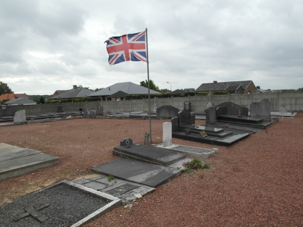
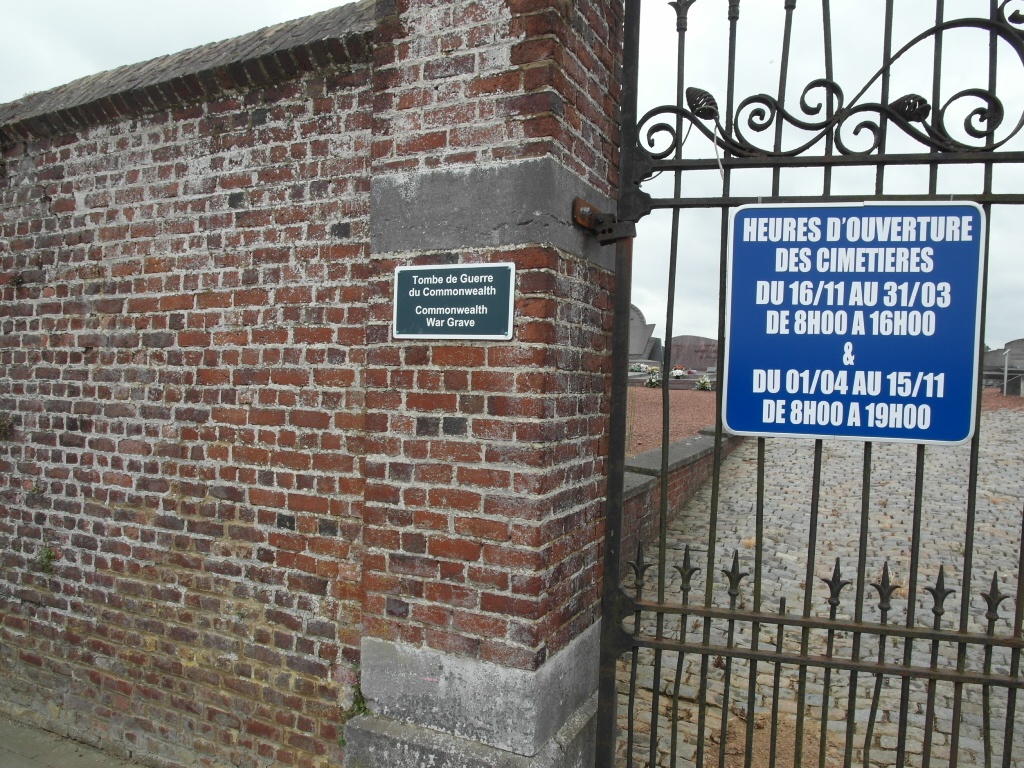
Ophain-Bois-Seigneur-lsaac is a village 25 kilometres south of Brussels and about 10 kilometres north of Nivelles, lying 2 kilometres west of the Brussels-Charleroi road and 1 km north of the RO Brussels ring road. The cemetery is on the western side of the village, about 228 metres north of the church. From the RO exit at junction 23 Ophain and head north following signs for Braine-l'Alleud. Drive along rue de Dinant which runs into rue des Combattants. At the rue du Cimetière (if you get to the church you have gone too far) turn left and the cemetery is about 200 m along the road on the left. From the RO the rue du Cimetière is the third road on the left. The Commonwealth grave is in the old, south-eastern portion.
History information
The British Expeditionary Force was involved in the later stages of the defence of Belgium following the German invasion in May 1940, and suffered many casualties in covering the withdrawal to Dunkirk. Commonwealth forces did not return until September 1944, but in the intervening years, many airmen were shot down or crashed in raids on strategic objectives in Belgium, or while returning from missions over Germany. Ophain-Bois-Seigneur-Isaac Communal Cemetery contains one Commonwealth burial of the Second World War.