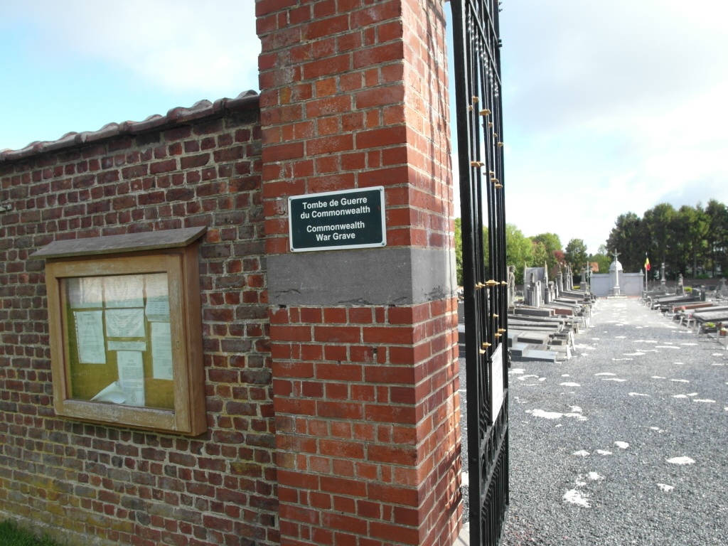
Waterloo Communal Cemetery
- Country Belgium
- Total identified casualties 1 Find these casualties
- Region Brabant Wallon
- Identified casualties from Second World War
- GPS Coordinates Latitude: 50.72109, Longitude: 4.39374

Location information
The town of Waterloo is located on the ring R0 motorway to the south of Brussel. From the ring Road, turn off at junction 2, Waterloo and head for the town along Dreve Richelle, over the first crossroads to the next junction and turn right into Chaussee De Charleroi. From the junction take the sixth turning left into Dreve Des Dix Meters and the cemetery is on the right. The grave is located within the Belgian Military Plot. From the cemetery entrance follow the main path to the memorial. Bear left at the memorial and the Belgian Military plot can be seen directly ahead. The Commonwealth war grave is the first grave of the second row and faces away from the main entrance. The grave is marked by Private Memorial.
History information
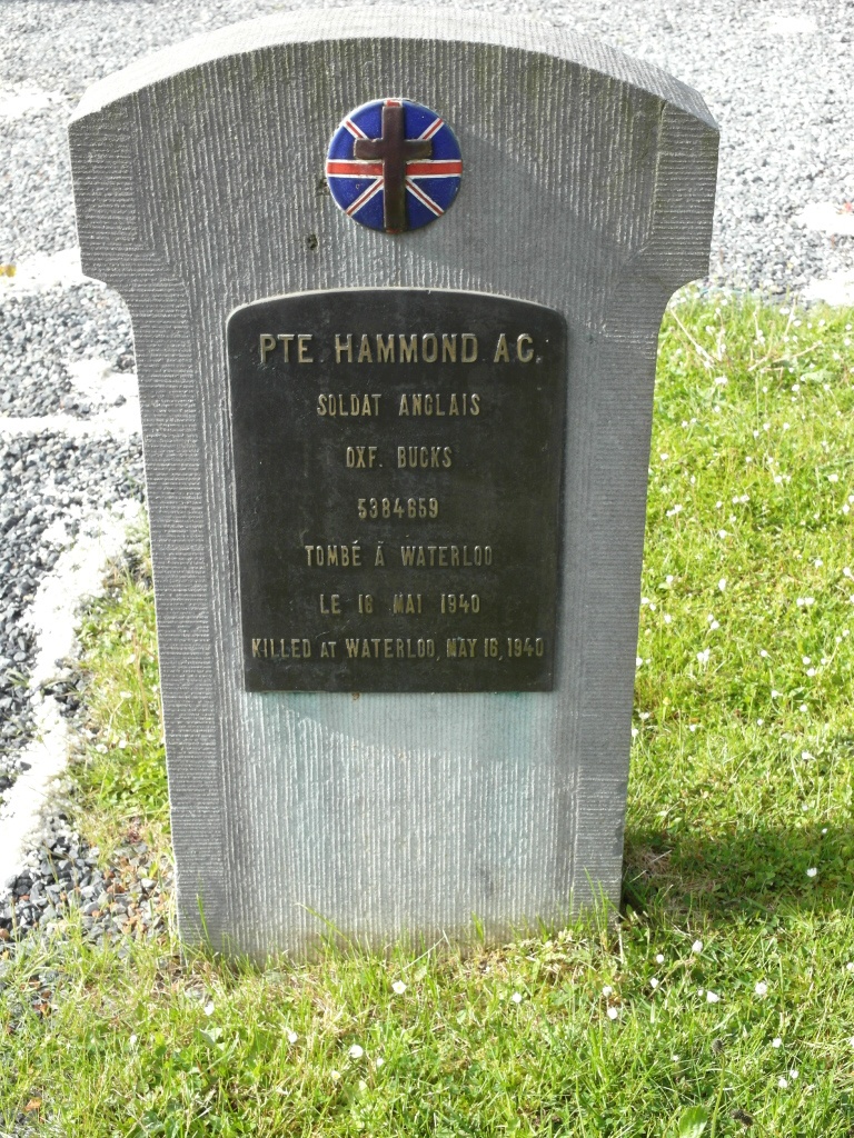
The British Expeditionary Force was involved in the later stages of the defence of Belgium following the German invasion in May 1940, and suffered many casualties in covering the withdrawal to Dunkirk. Waterloo Communal Cemetery contains one Commonwealth burial of the Second World War.