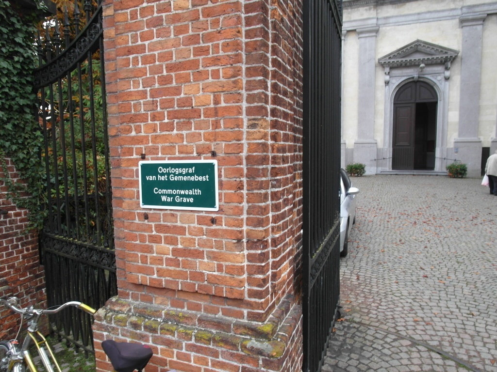
Nazareth Churchyard
- Country Belgium
- Total identified casualties 1 Find these casualties
- Region Oost-Vlaanderen
- Identified casualties from First World War
- GPS Coordinates Latitude: 50.9591, Longitude: 3.59609
Location information
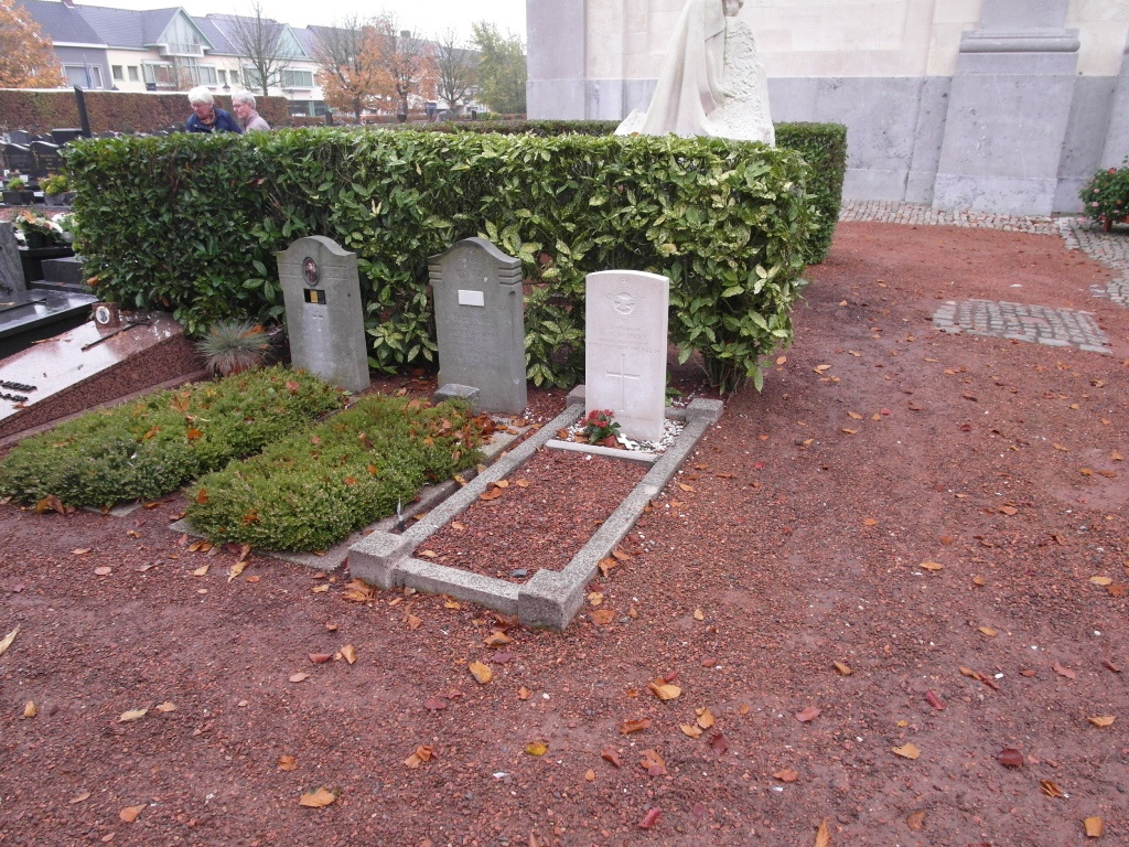
The village of Nazareth is located south-west of the city of Gent off the N339. From the motorway E17/A14, which runs between Kortrijk and Antwerpen, turn off at junction 7 onto the N339, direction Gavere. Take the first turning left to Nazareth along Warandestraat and follow this road to the T junction. Turn left into 'sGravenstraat and third right into Dorp, the church is along here on the right. The grave is located near the entrance.
History information
Nazareth Churchyard contains the grave of one Commonwealth airman of the First World War.