Outrijve Churchyard
- Country Belgium
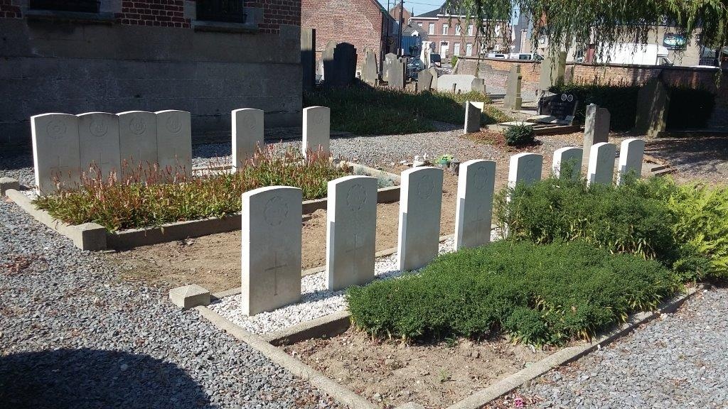
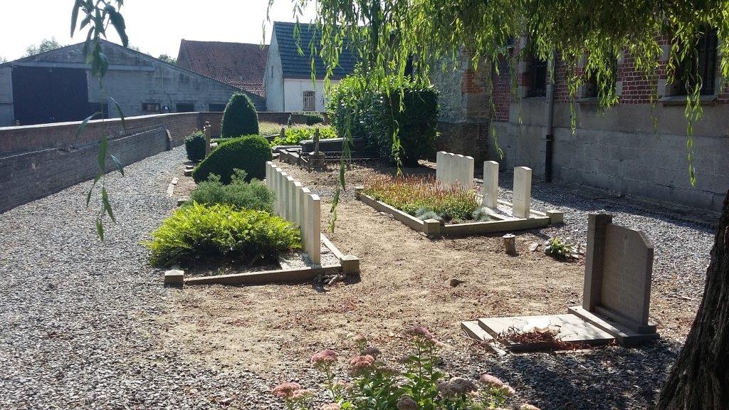
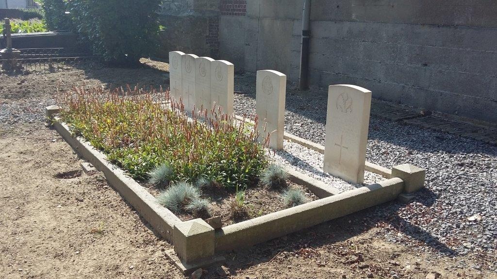
- Total identified casualties 13 Find these casualties
- Region West-Vlaanderen
- Identified casualties from First World War
- GPS Coordinates Latitude: 50.75523, Longitude: 3.42954
Location information
Outrijve churchyard is located 40 Km east of Ieper town centre on a road leading from the N8 Meenseweg, connecting Ieper to Avelgem, via Menen (Menin), Wevelgem, Kortrijk, Zwevegem and Avelgem. On reaching the village of Avelgem the right hand turning onto the N353 leads for 3 Km to the village of Outrijve. The village is approached along the N353 Doorniksesteenweg which continues to the village square. The churchyard itself is located just beyond the church on the Sint Pietersstraat.
Visiting information
Wheelchair access possible via main entrance. For further information regarding wheelchair access, please contact our Enquiries Department on telephone number: 01628 634221
History information
The village of Autryve (now Outrijve) was cleared by the 1st/4th Cheshires on 24 October 1918. Outrijve Churchyard contains 14 Commonwealth burials of the First World War. Tweve of the the graves were brought in from the battlefield after the Armistice.