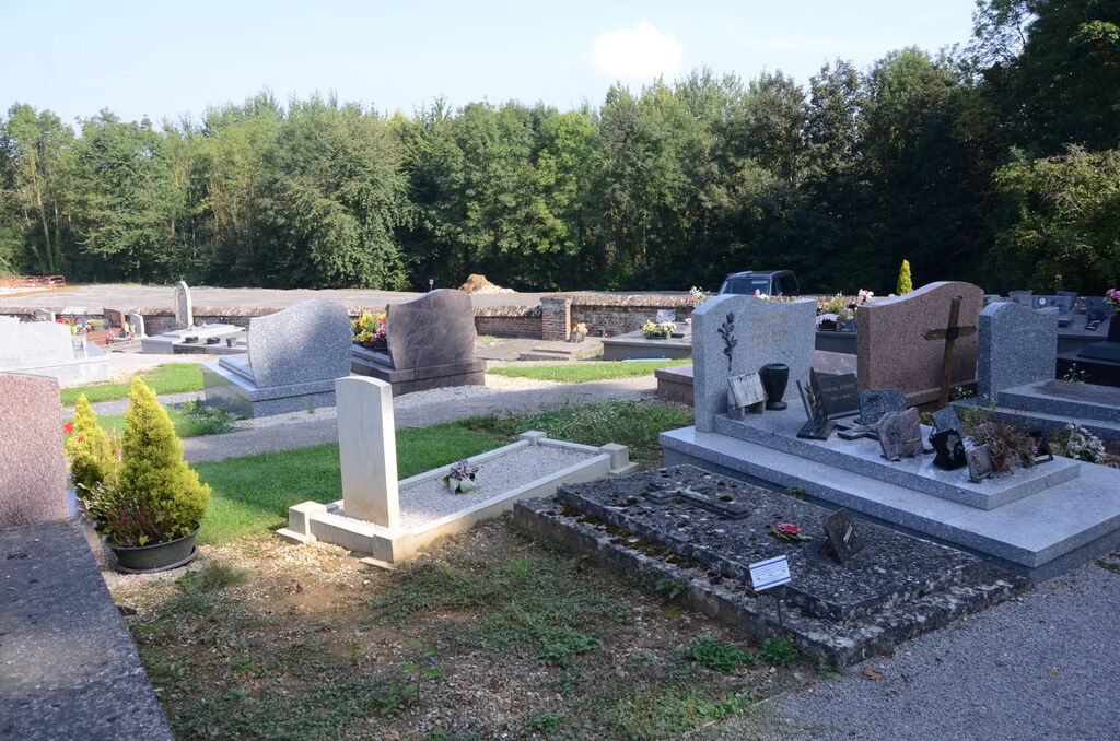
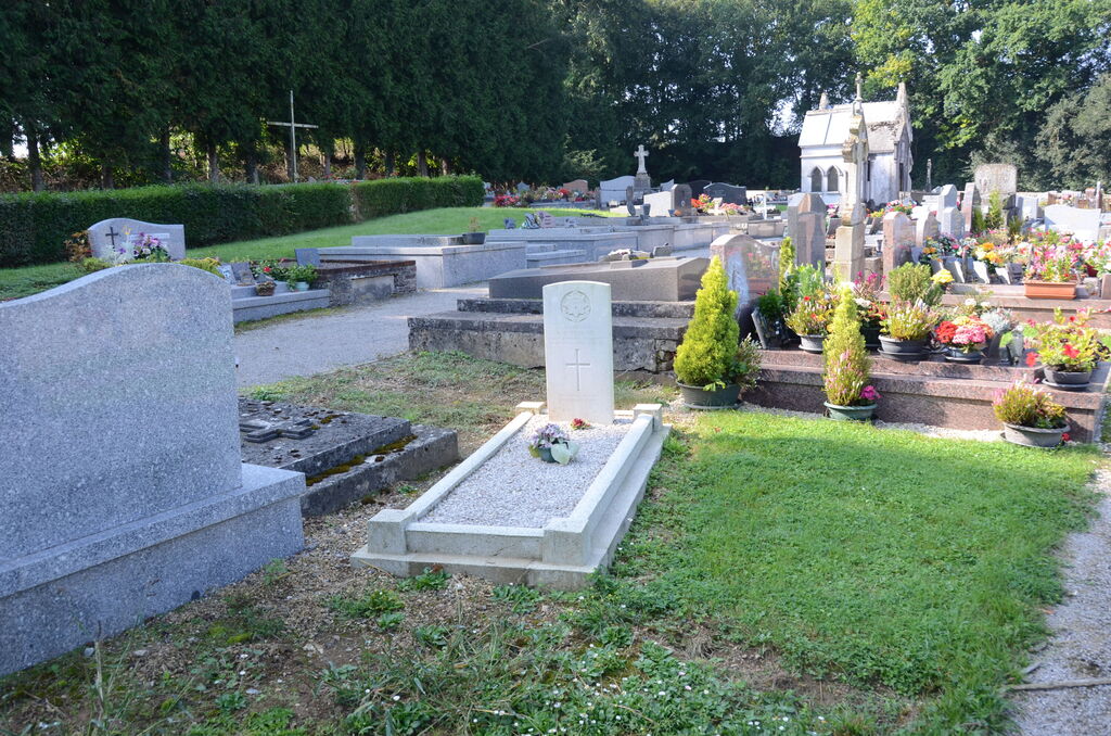
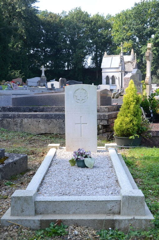
Caix Communal Cemetery
- Country France
- Total identified casualties 1 Find these casualties
- Region Somme
- Identified casualties from First World War
- GPS Coordinates Latitude: 49.81277, Longitude: 2.64908
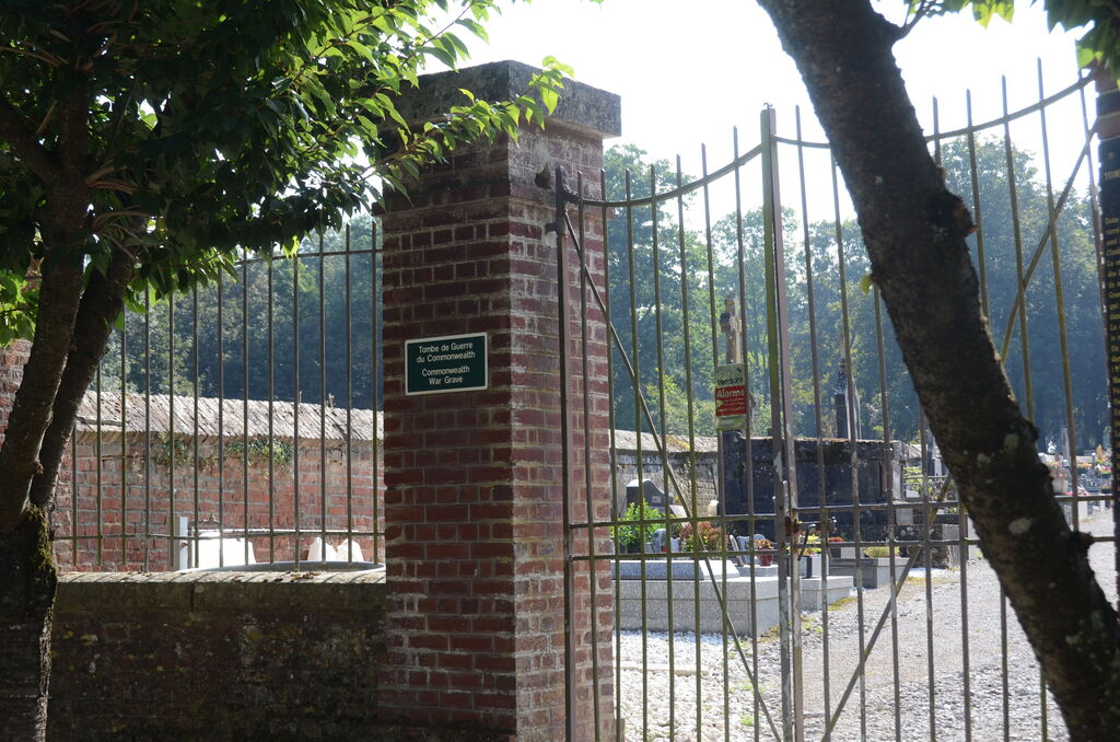
Location information
The village of Caix is situated about 28 kilometres south east of Amiens, midway between the N29, Amiens-St Quentin road, and the D934, Amiens-Roye road. From the centre of the village on the main road, D28, in the direction of Beaucourt-en-Santerre, turn left at the D41 in the direction of Le Quesnel. Approximately 200 metres along this road can be found the Communal Cemetery.