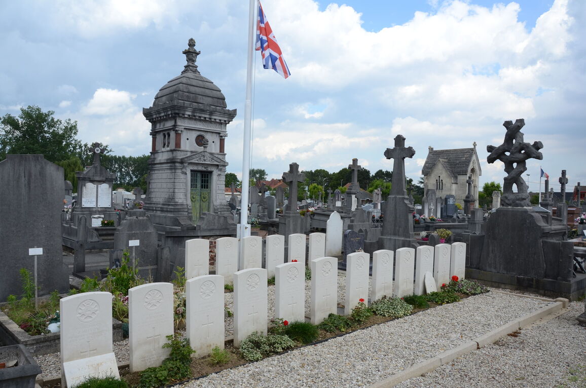
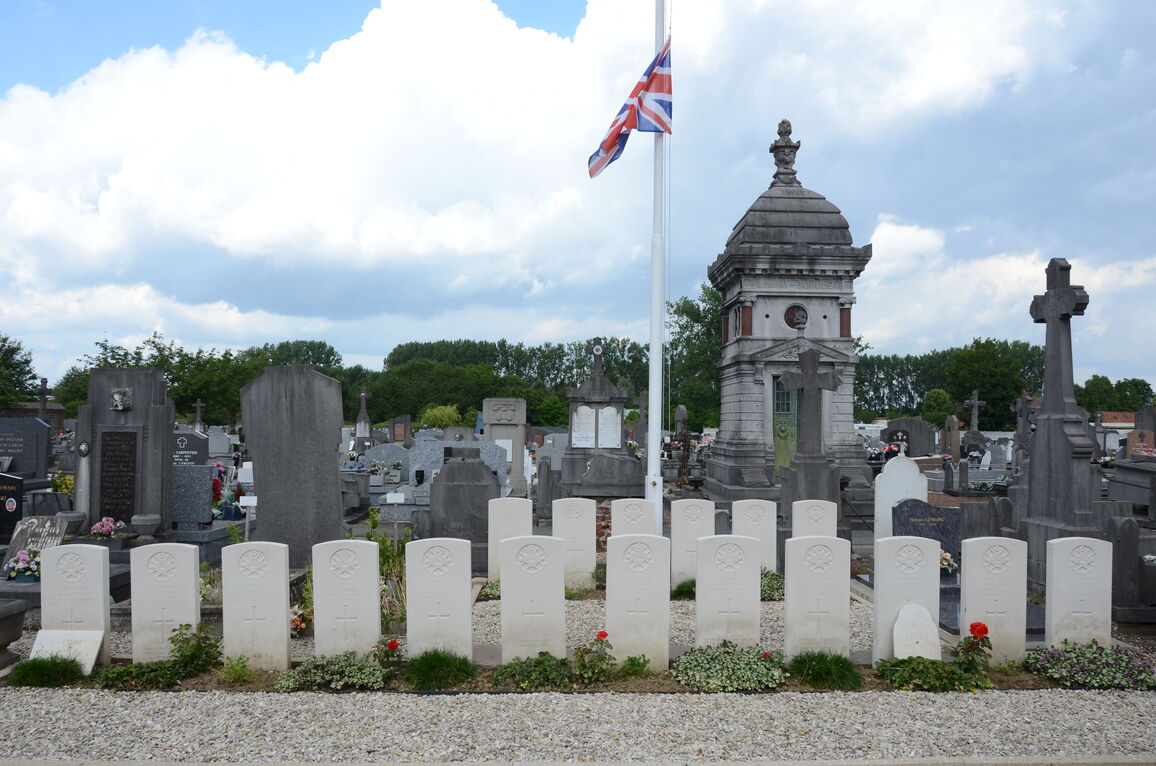
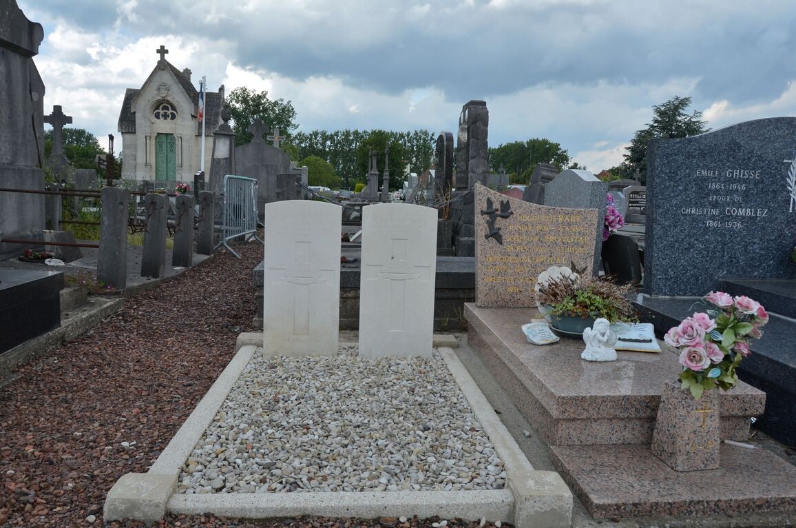
Oignies Communal Cemetery
- Country France
- Total identified casualties 19 Find these casualties
- Region Pas de Calais
- Identified casualties from First & Second World War
- GPS Coordinates Latitude: 50.47062, Longitude: 2.98398

Location information
Oignies is a village 26 kilometres north-east of Arras and 4 kilometres south-east of Carvin, a town located on the road from Arras to Lille. From the church in Oignies, take the D160 Carvin road. The Cemetery is 700 metres from the church on the left hand side. The Commonwealth burials are in the old section of the Cemetery.
History information
There are now a small number of 1914-18 and nearly 20, 1939-45 war casualties commemorated in this site.