Ligny-En-Cambresis Communal Cemetery
- Country France
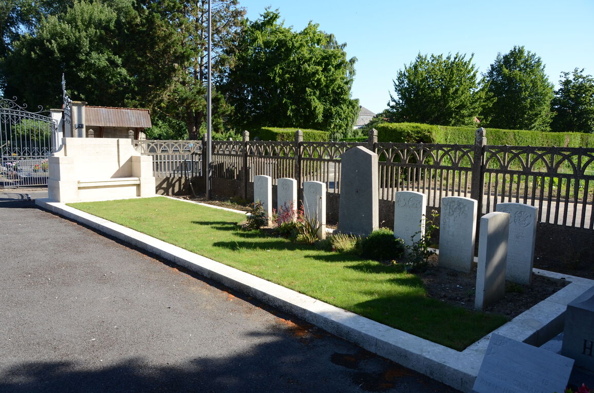
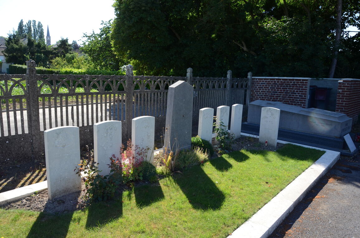
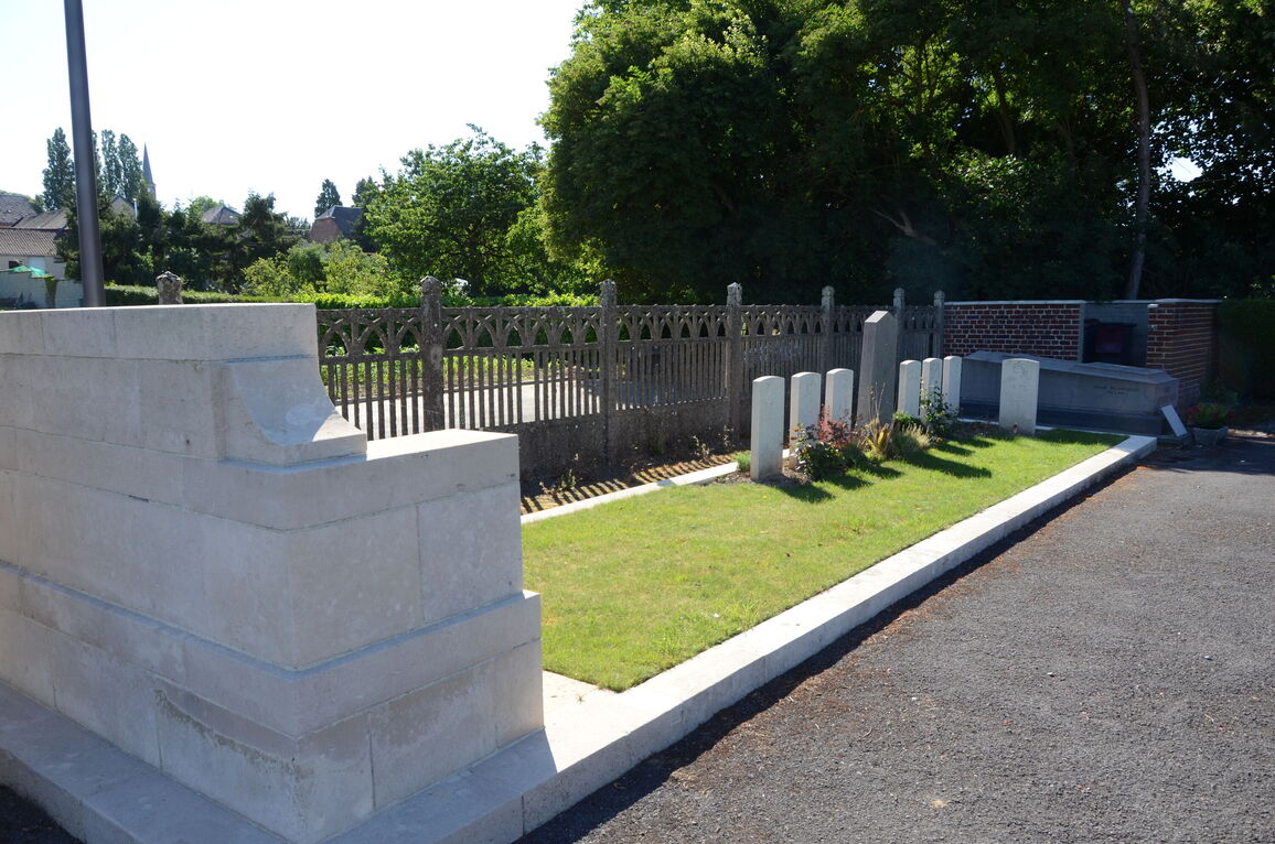
- Total identified casualties 19 Find these casualties
- Region Nord
- Identified casualties from First World War
- GPS Coordinates Latitude: 50.09937, Longitude: 3.37252
Location information
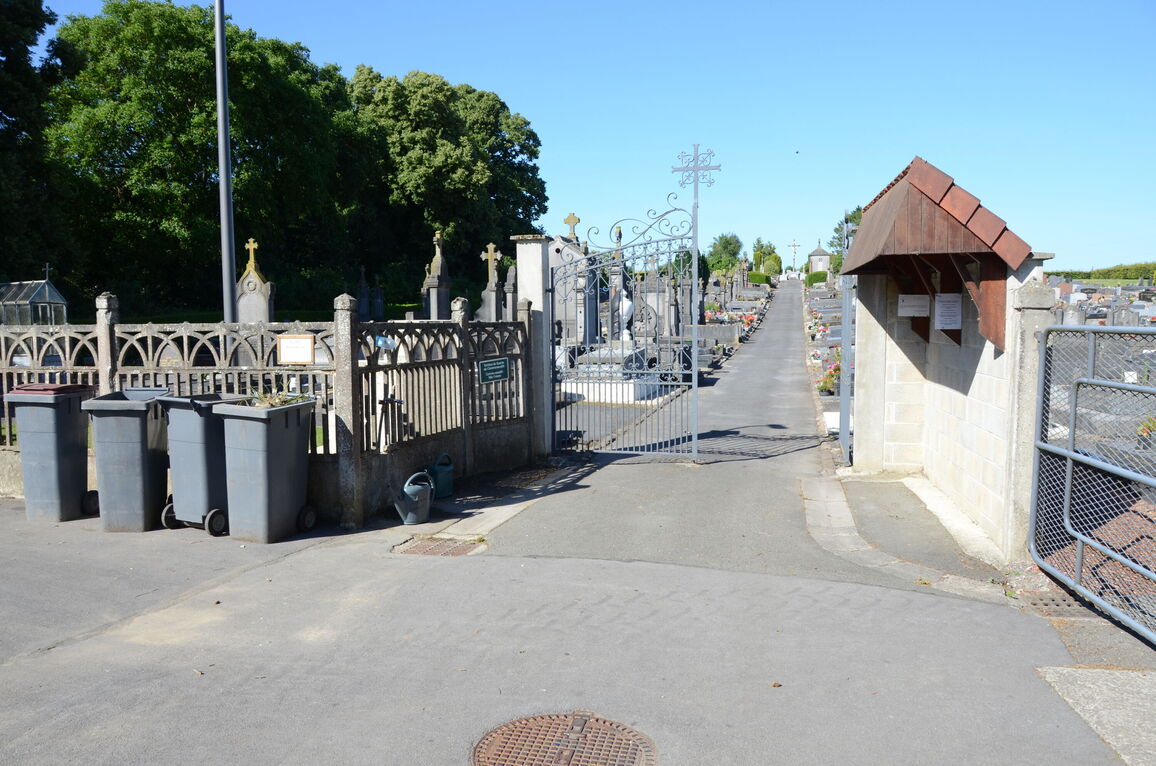
Ligny-en-Cambresis is a village about 12 kilometres south-east of Cambrai and 4 kilometres south of Fontaine-le-Pire. From Cambrai, take the N43 main road towards Le Cateau. After 11 kilometres, at Beauvois-en-Cambresis, turn right onto the D74 road towards Fontaine-au-Pire and Ligny. After about 4 kilometres turn left onto the D15 road towards Caudry. 500 metres further on turn right into the Communal Cemetery.
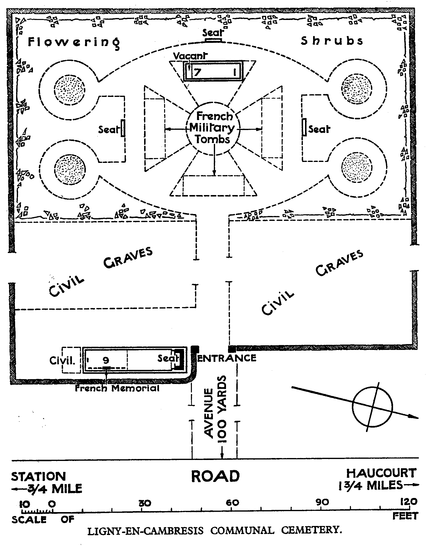
Download Cemetery Plan
History information
The Communal Cemetery was used by the Germans; but the German graves have now been removed. There are now 40, 1914-18 war casualties commemorated in this site. Of these, over half are unidentified.