Dyce Old Churchyard
- Country United Kingdom
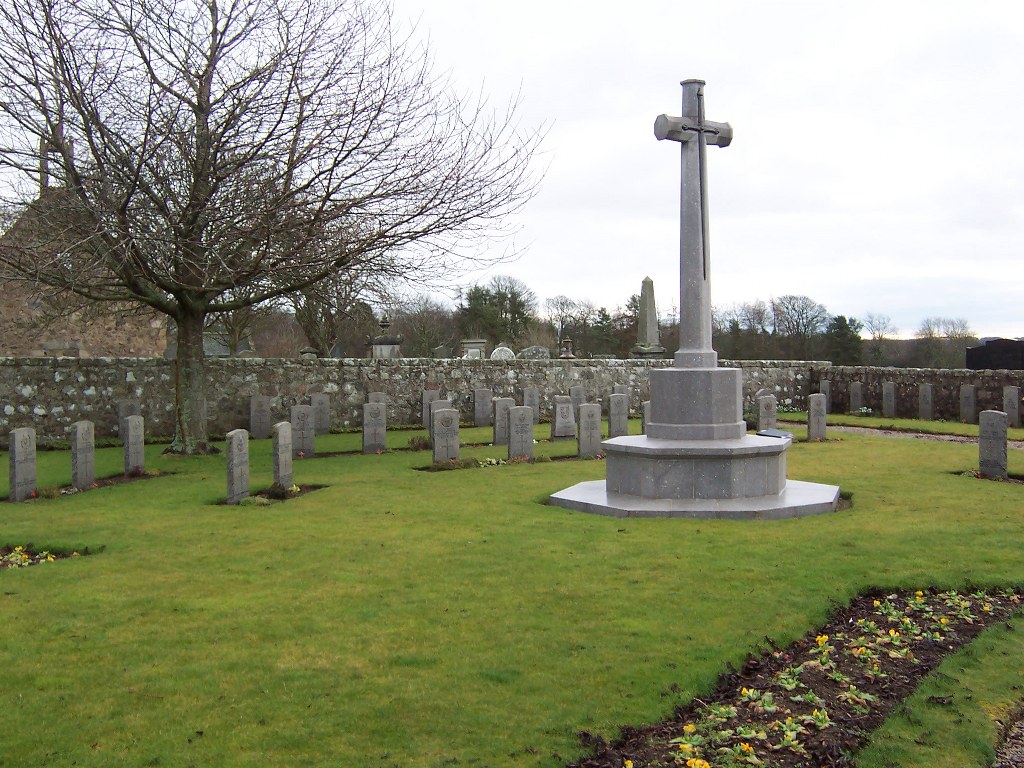
- Total identified casualties 56 Find these casualties
- Region Aberdeenshire
- Identified casualties from First & Second World War
- GPS Coordinates Latitude: 57.22934, Longitude: -2.20894
Location information
Dyce Old Churchyard is located close to the River Don, north west of Dyce. If travelling to Dyce on the main road (the A947) from Aberdeen, turn left on to Dyce Drive. Follow this road (pass by a large caravan dealership on the left hand side) and then turn right into Pitmedden Road. Shortly after this, take a minor road to the right which is signposted to Dyce Churchyard. The churchyard is at the end of this road. The closest railway station is in Dyce.
Visiting information
2018 April - Please be aware, due to the construction of the new Aberdeen bypass, there can be some diversions on roads in this area.
Parking is possible at the entrance.
History information
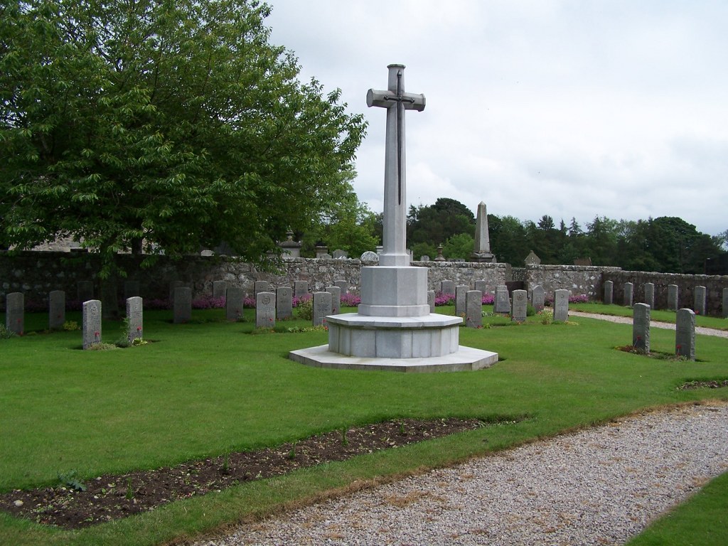
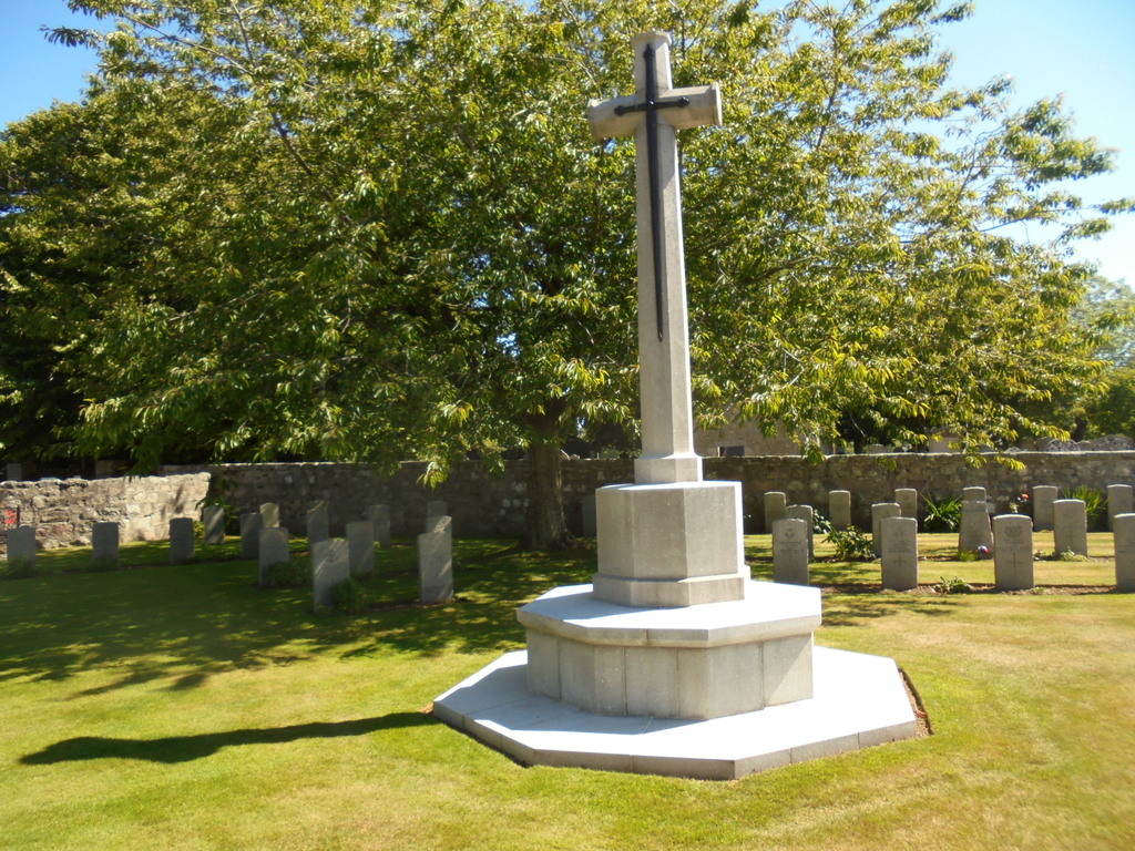
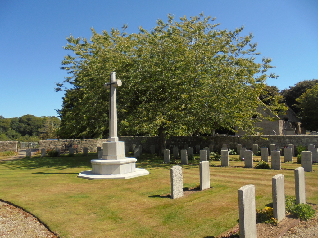
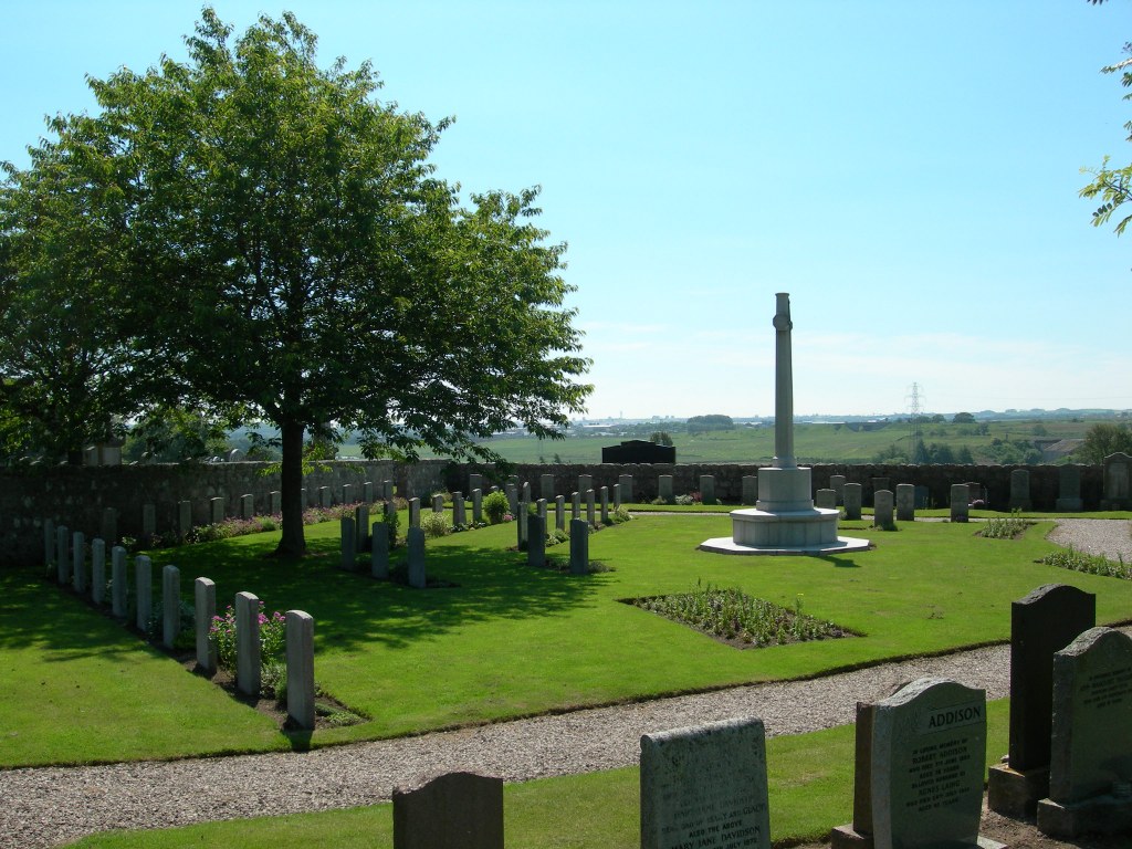
Dyce airport was a Royal Air Force station during the 1939-1945 War, and an extension on the western side of the old churchyard was chosen by the authorities for the burial of casualties from the air station. Only airmen are buried in this reserved plot. There is 1 Commonwealth burial of the 1914-18 war in the churchyard. There are a further 45 of the 1939-45 war, 1 being an unidentified airman of the R.A.F. In addition, the Commission maintains 1 Polish and 10 German war graves and 4 non-war Service burials here.