Rechenberg-Bienenmuhle Cemetery
- Country Germany
- Total identified casualties 1 Find these casualties
- Region Sachsen
- Identified casualties from Second World War
- GPS Coordinates Latitude: 50.7364, Longitude: 13.55548

Location information
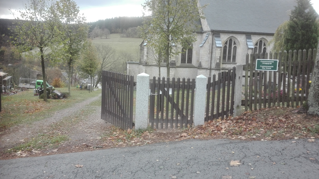
Rechenberg-Bienenmühle is a small village in South Germany approx 50 kms south of Dresden. From the A17 Dresden to Praha (Prague) motorway take exit 3 (Ausfahrt 3) DRESDEN-SÜDVORSTADT and follow B170 direction DIPPOLDISWALDE / BANNEWITZ, continue for approx 20 kms and then turn right onto B171 direction FRAUENSTEIN and continue for approx 13 kms. Turn left and follow B171 direction RECHENBERG-BIENENMÜHLE continue for approx 9 kms, then turn left onto S185 MULDENSTRAßE and continue for approx 1.8 kms. Turn left onto AN DER SCHANZ (signposted Brauerei Museum) and continue for approx 300 m (road changes name to RECHENBERGER WEG). The entrance to the civilian cemetery can be found on the left. The single CWGC headstone is located to the left of the church on the lower level behind a hedge. The cemetery address is: Rechenberger Weg 09623 Rechenberg-Bienenmühle Germany GPS Co-ordinates: N 50 44 15, E 13 33 22
History information
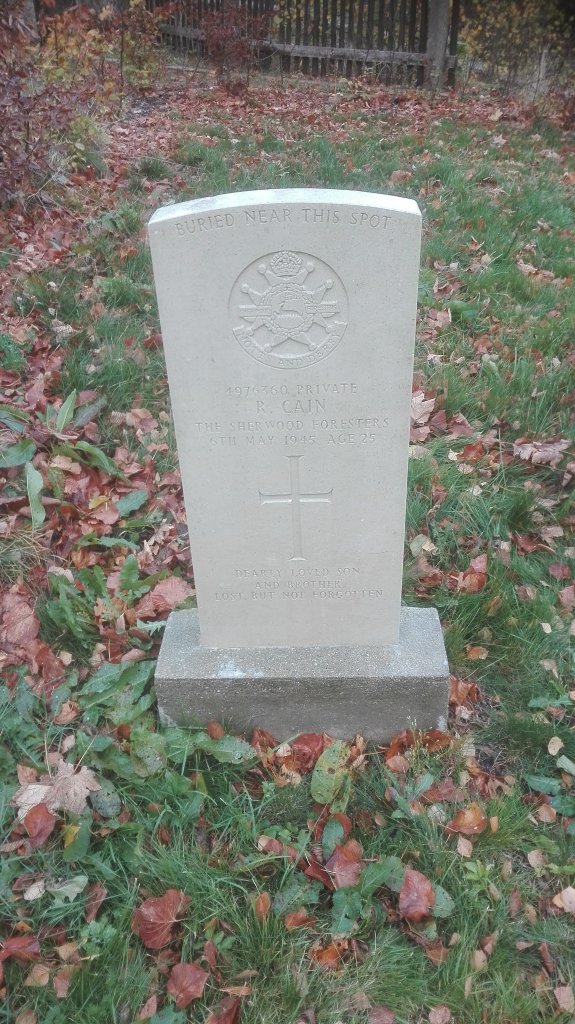
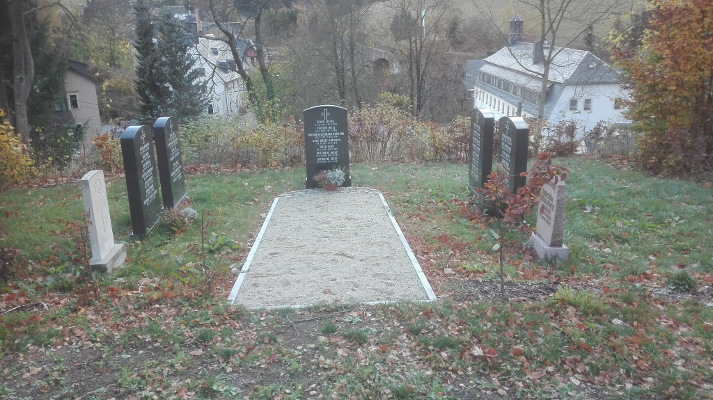
This communal cemetery contains the grave of one Commonwealth serviceman of the Second World War which was rediscovered following the reunification of Germany. The grave is located between 2 Memorial Panels