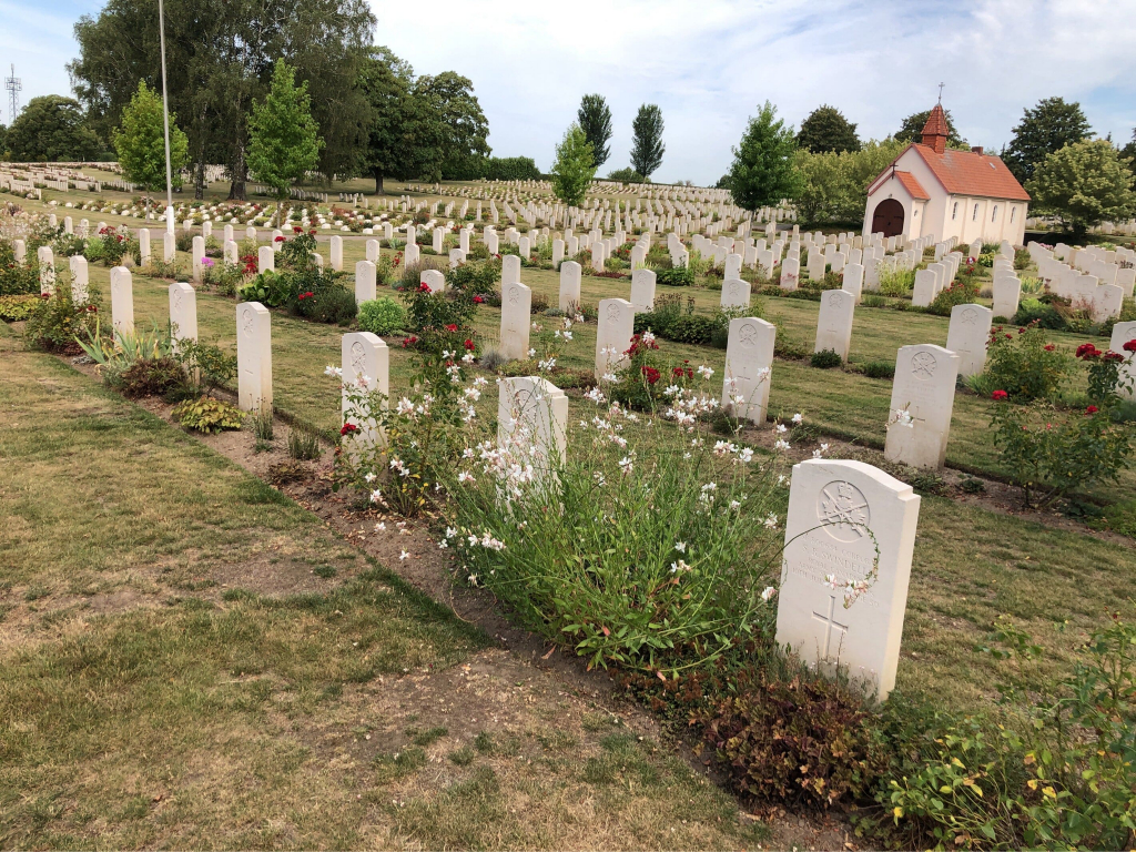
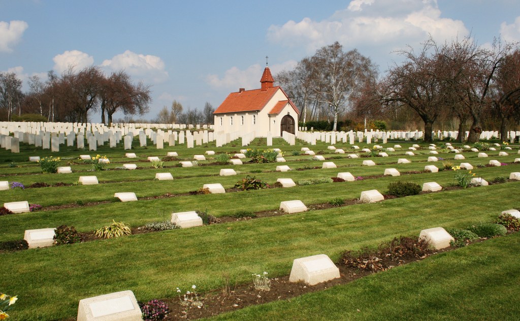
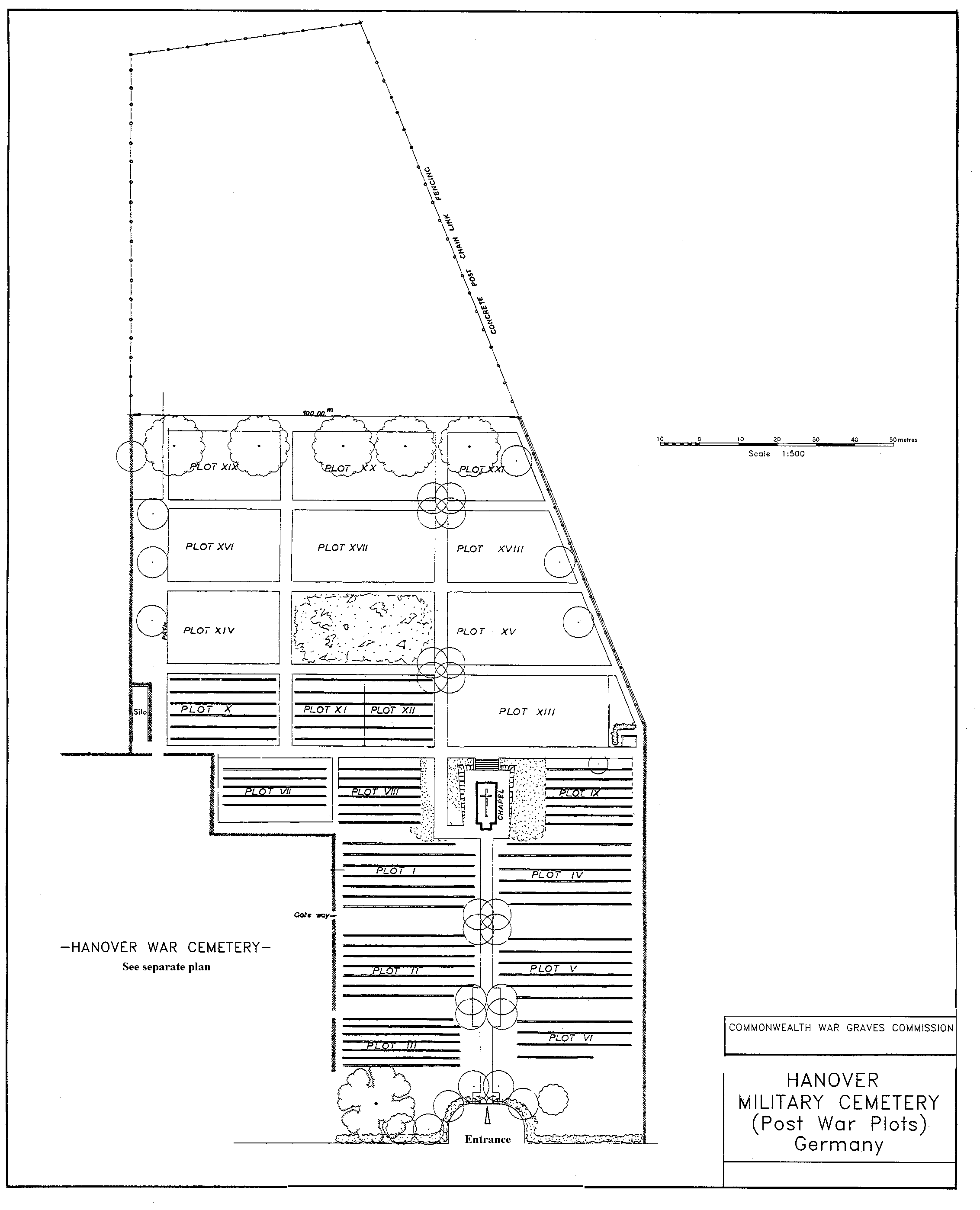
Hanover Military Cemetery
- Country Germany
- Total identified casualties 0 Find these casualties
- Region Niedersachsen
- GPS Coordinates Latitude: 52.37703, Longitude: 9.65437
Location information
The city of Hannover lies in the north of Germany approx 290kms west of Berlin. From the A2 motorway Dortmund to Berlin take exit 42 (Ausfahrt 42) HANNOVER-HERRENHAUSEN / GARBSEN-OST (CWGC sign) and follow the B6 direction HANNOVER-ZENTRUM. Continue along the B6 for approx 1.5kms and turn right onto L395 STOCKNERSTRASSE (CWGC sign) direction AHLEM. Continue for approx 3.5kms then turn left onto KLOCKNERSTRASSE (CWGC sign) Continue for approx 800m then turn left onto B441 AHLEMERSTRASSE direction HANNOVER (CWGC sign) road name changes to WUNSTORFER LANDSTRASSE. After approx 1km turn right onto RICHARD-LATTORFSTRASSE (CWGC sign) and continue for approx 800m. Turn right onto HEISTERBERGALLEE (CWGC sign) and continue for approx 1km. The cemetery can be found on the right. The cemetery address is:- Harenberger Meile 30926 Seelze-Harenberg Germany GPS Location is:- N 52 22 38 E 09 39 19
Visiting information
Wheelchair access possible via main entrance. For further information regarding wheelchair access, please contact our Enquiries Section on telephone number 01628 507200
History information
There are now over 3000, post-war casualties commemorated in this site.