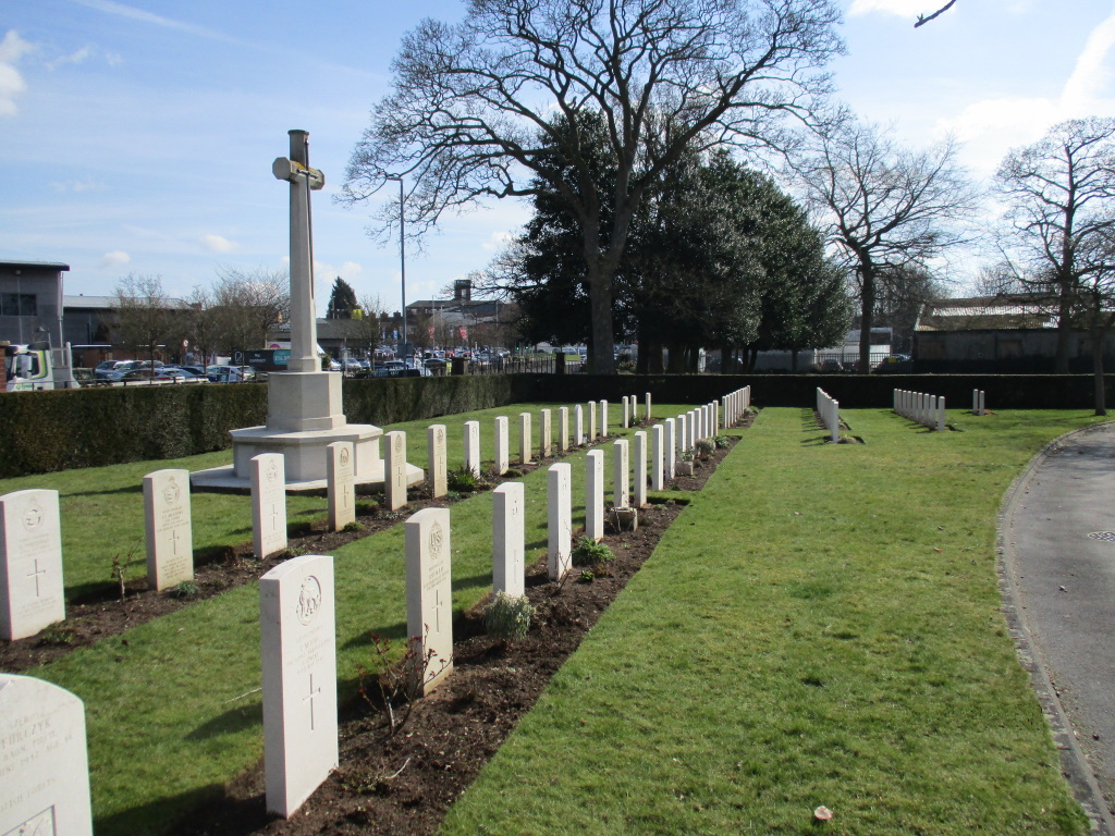
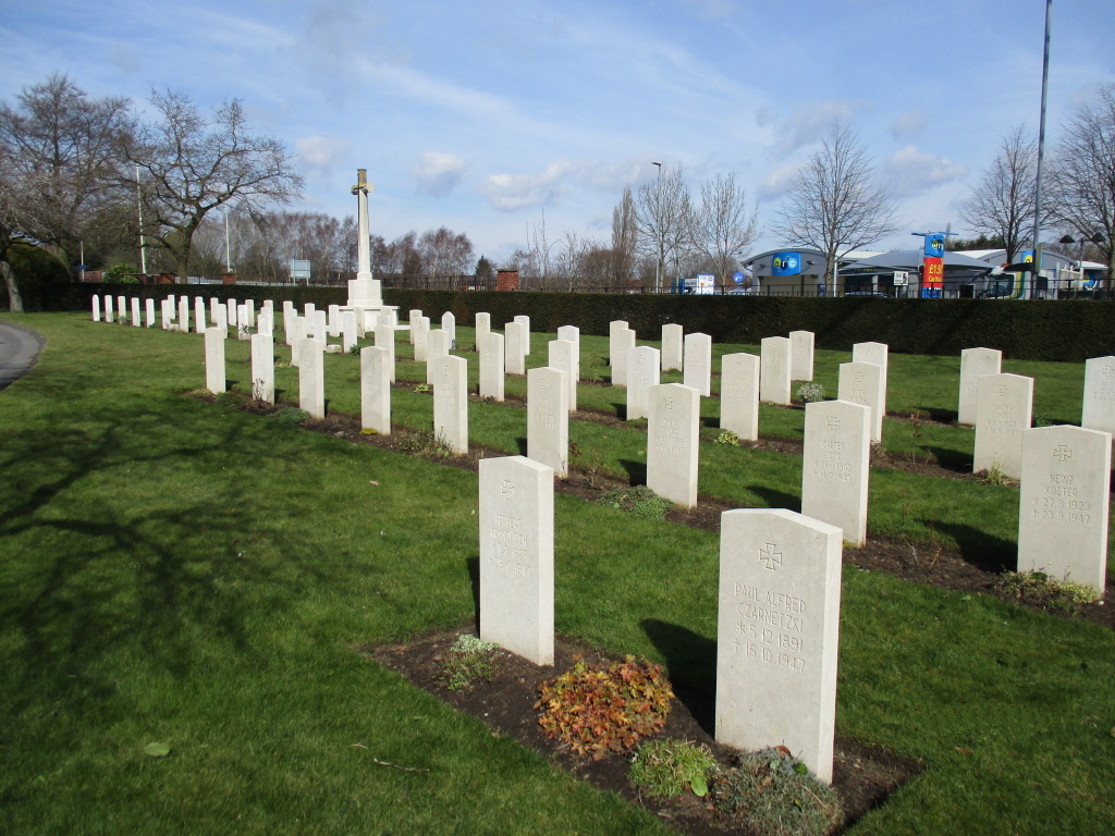
Stafford Cemetery
- Country United Kingdom
- Total identified casualties 119 Find these casualties
- Region Staffordshire
- Identified casualties from First & Second World War
- GPS Coordinates Latitude: 52.81616, Longitude: -2.12576
Location information
The cemetery is in the Northern part of the town, approximately 2 kilometres from the centre of the main street of Stafford town, Eccleshall Road.
History information
Stafford Cemetery was opened in 1856.