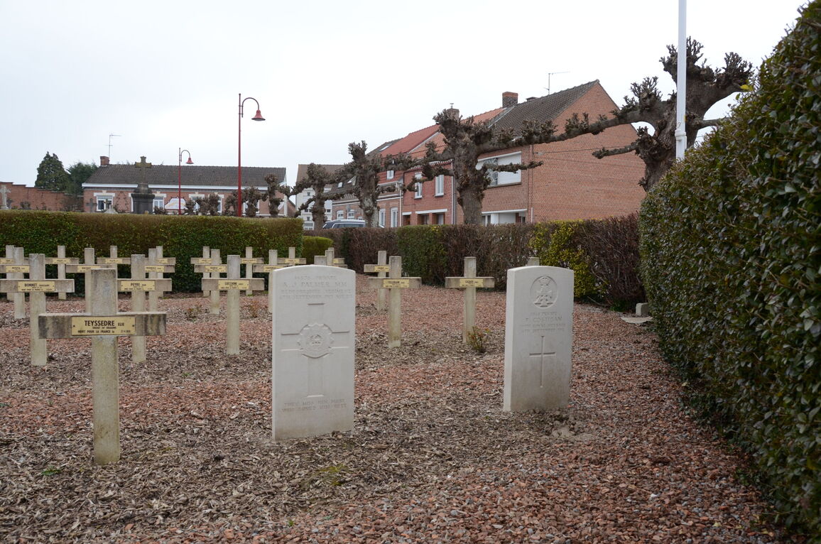
Arneke Churchyard
- Country France
- Total identified casualties 2 Find these casualties
- Region Nord
- Identified casualties from First World War
- GPS Coordinates Latitude: 50.83154, Longitude: 2.41177
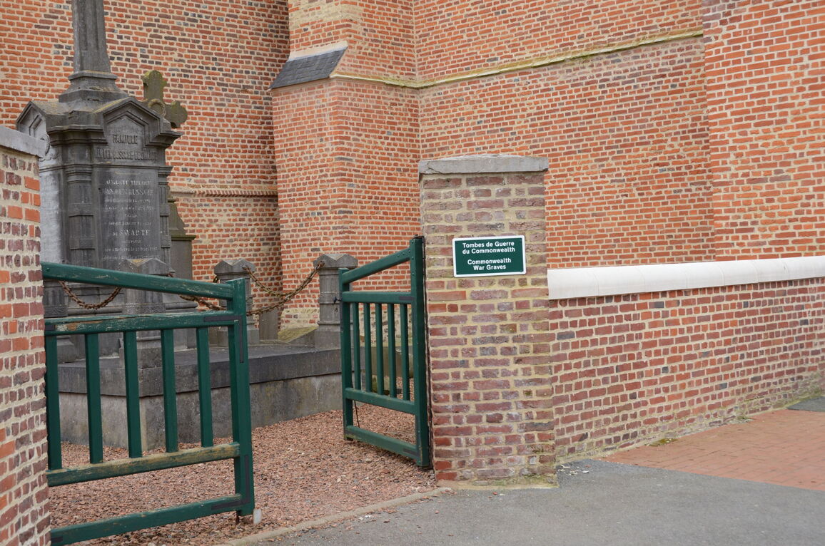
Location information
The village of Arneke is approximately 50 kilometres south-east of Calais and about 8 kilometres north-west of the town of Cassel. The church and churchyard are in the village.
History information
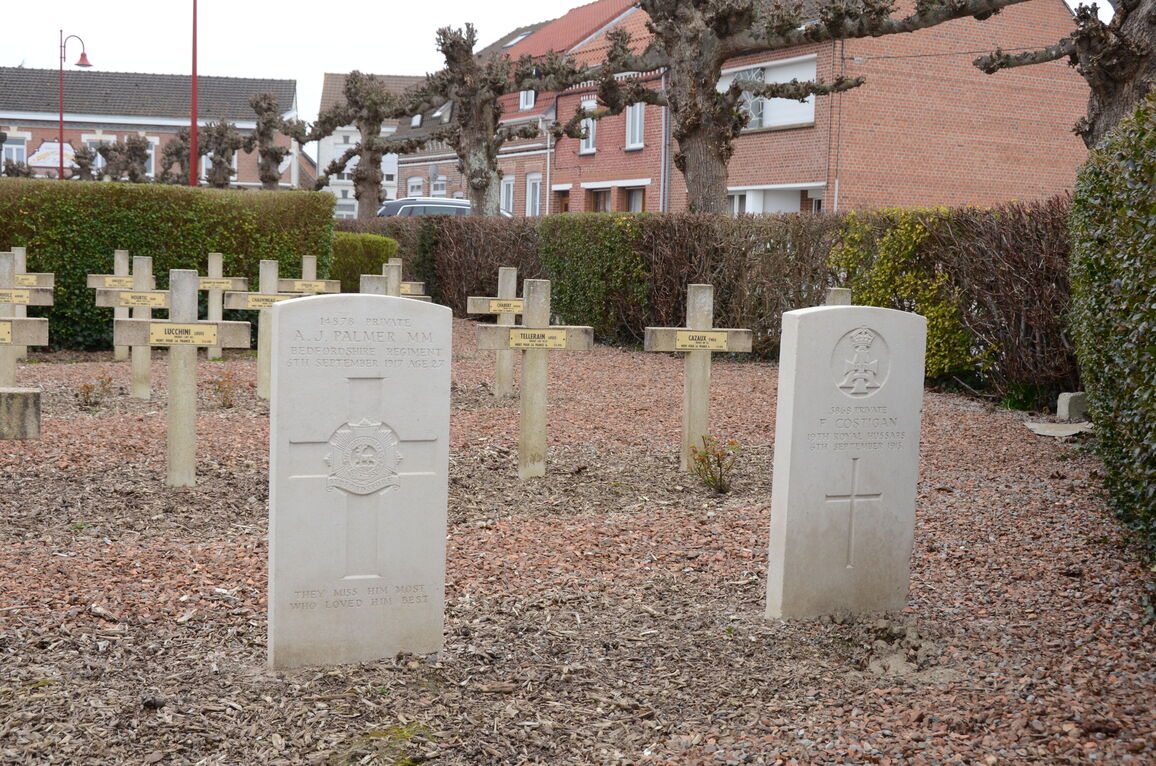
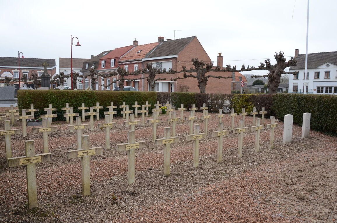
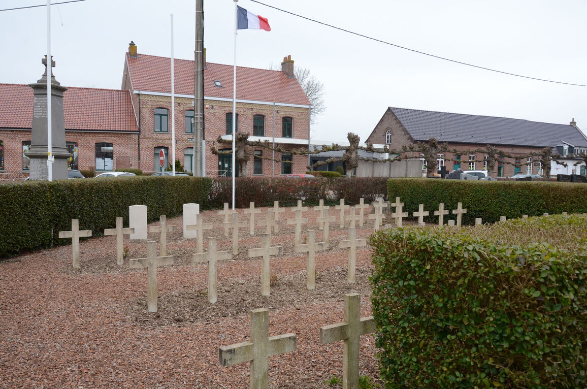
Arneke Churchyard contains two Commonwealth burials of the First World War.