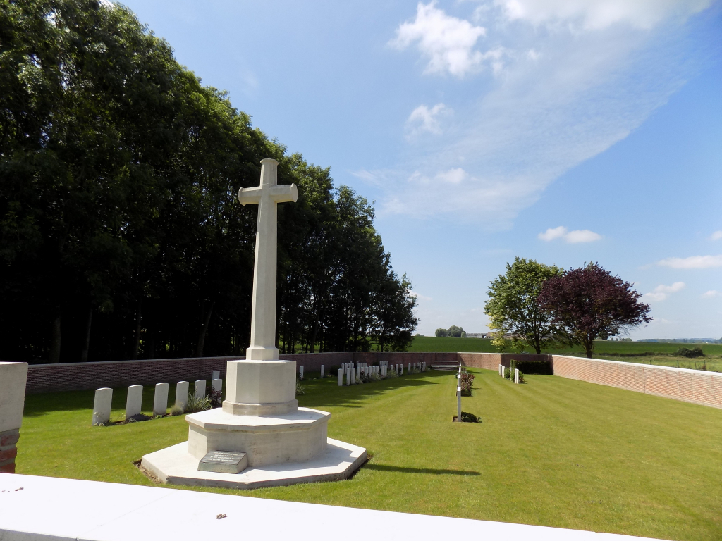
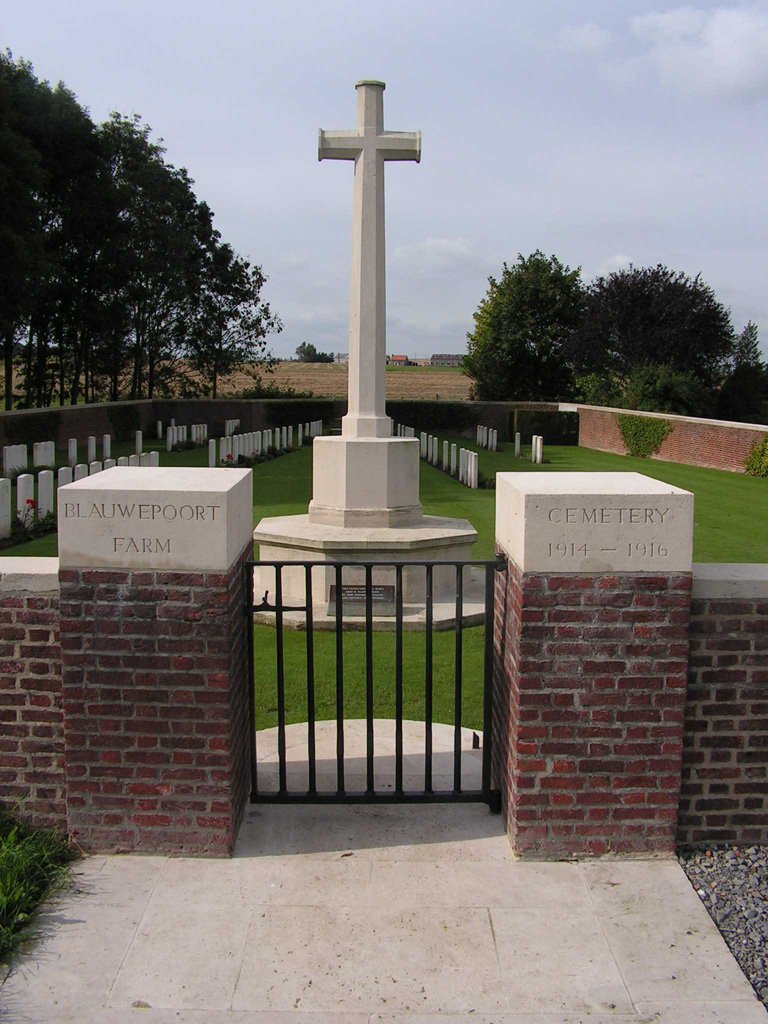
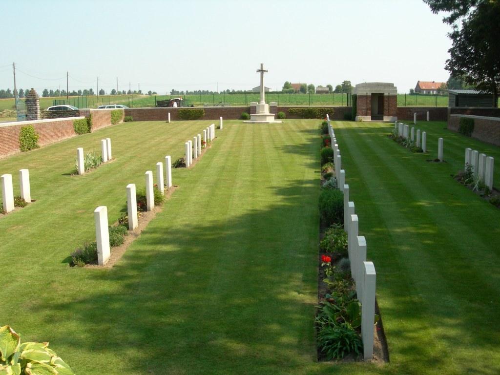
Blauwepoort Farm Cemetery
- Country Belgium
- Total identified casualties 83 Find these casualties
- Region West-Vlaanderen
- Identified casualties from First World War
- GPS Coordinates Latitude: 50.82944, Longitude: 2.90832
Location information
Blauwepoort Farm Cemetery is located 3 kilometres south east of Ieper town centre, on a single track road leading from the Komenseweg, connecting Ieper to Komen (N336). From Ieper town centre the Komenseweg is located via the Rijselstraat, through the Rijselpoort (Lille Gate) and crossing the Ieper ring road, towards Armentieres and Lille. The road name then changes to Rijselseweg. 1 kilometre along the Rijselseweg lies the left hand turning onto Komenseweg. 2 kilometres along the Komenseweg lies the right hand turning to the cemetery (towards house number 34 Komenseweg). The cemetery lies 500 metres at the end of this track.
Visiting information
Wheelchair access to this cemetery is possible via the main entrance.
History information
The cemetery was begun by a French battalion of Chasseurs Alpins in November 1914 and used by Commonwealth troops from February 1915 to February 1916. The French graves were removed after the Armistice.
The cemetery contains 91 First World War burials.
The cemetery was designed by W H Cowlishaw.