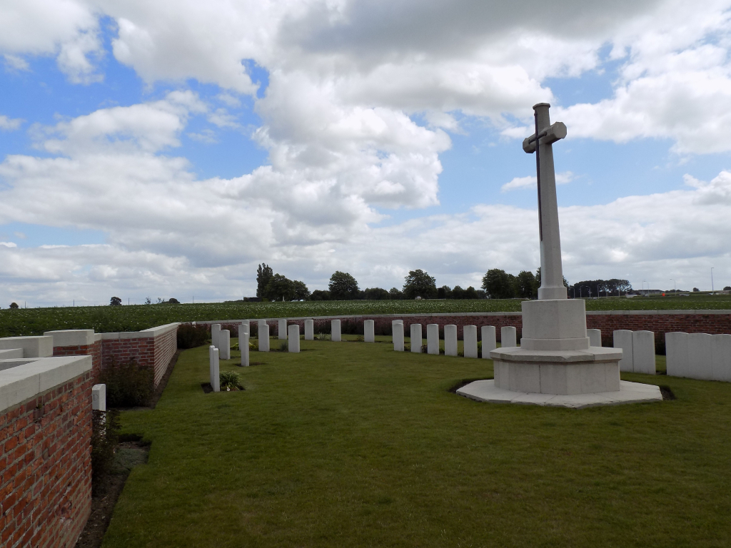
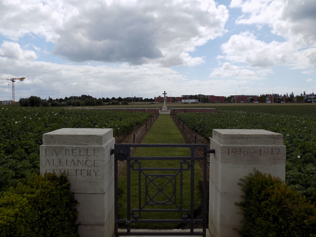
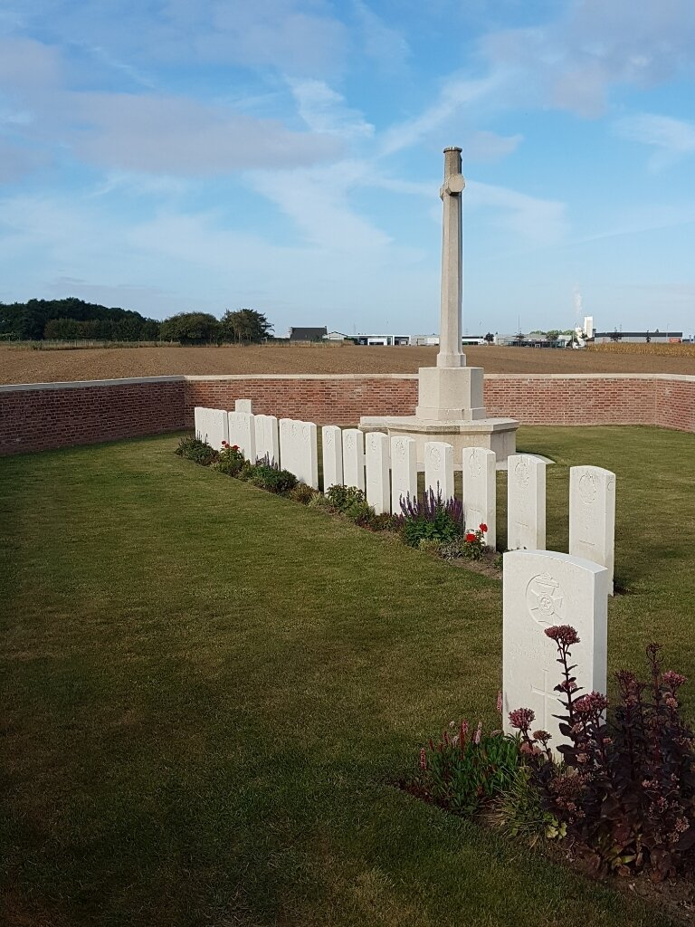
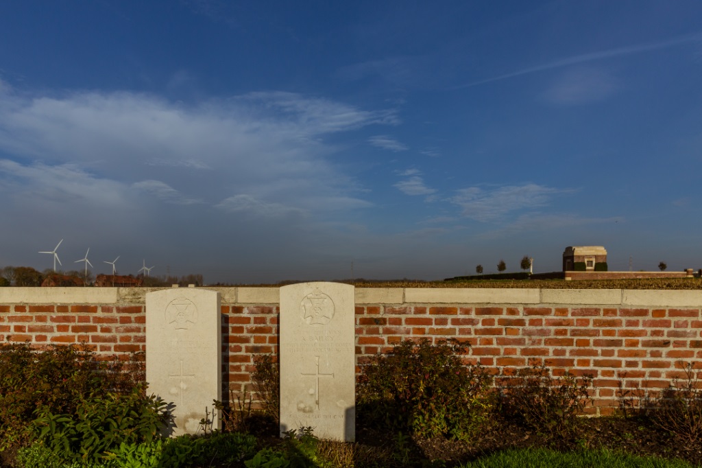
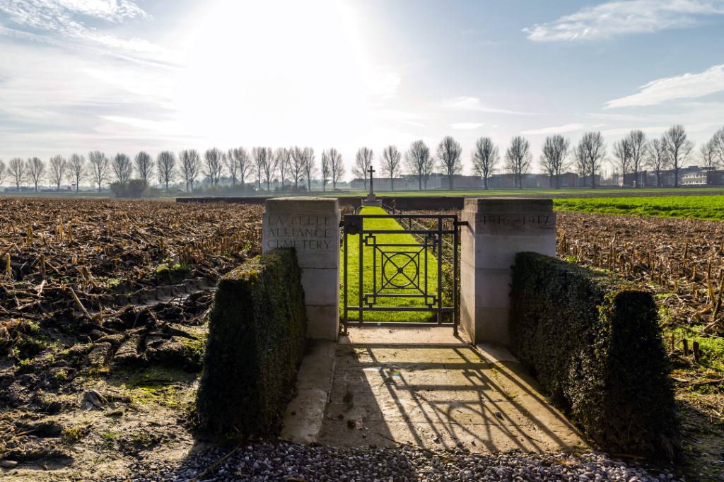
La Belle Alliance Cemetery
- Country Belgium
- Total identified casualties 50 Find these casualties
- Region West-Vlaanderen
- Identified casualties from First World War
- GPS Coordinates Latitude: 50.8734, Longitude: 2.89338
Location information
La Belle Alliance Cemetery is 3.5 Kms south of Boezinge and the same distance north-east of Ieper. It stands on the Zwaanhofweg, and is best approached via the N908 Ieper by-pass turning off north at the junction with Briekestraat-Zwaanhofweg is then the first road on the left.
Visiting information
Wheelchair access possible via main entrance. For further information regarding wheelchair access, please contact our Enquiries Section on telephone number: 01628 507200
History information
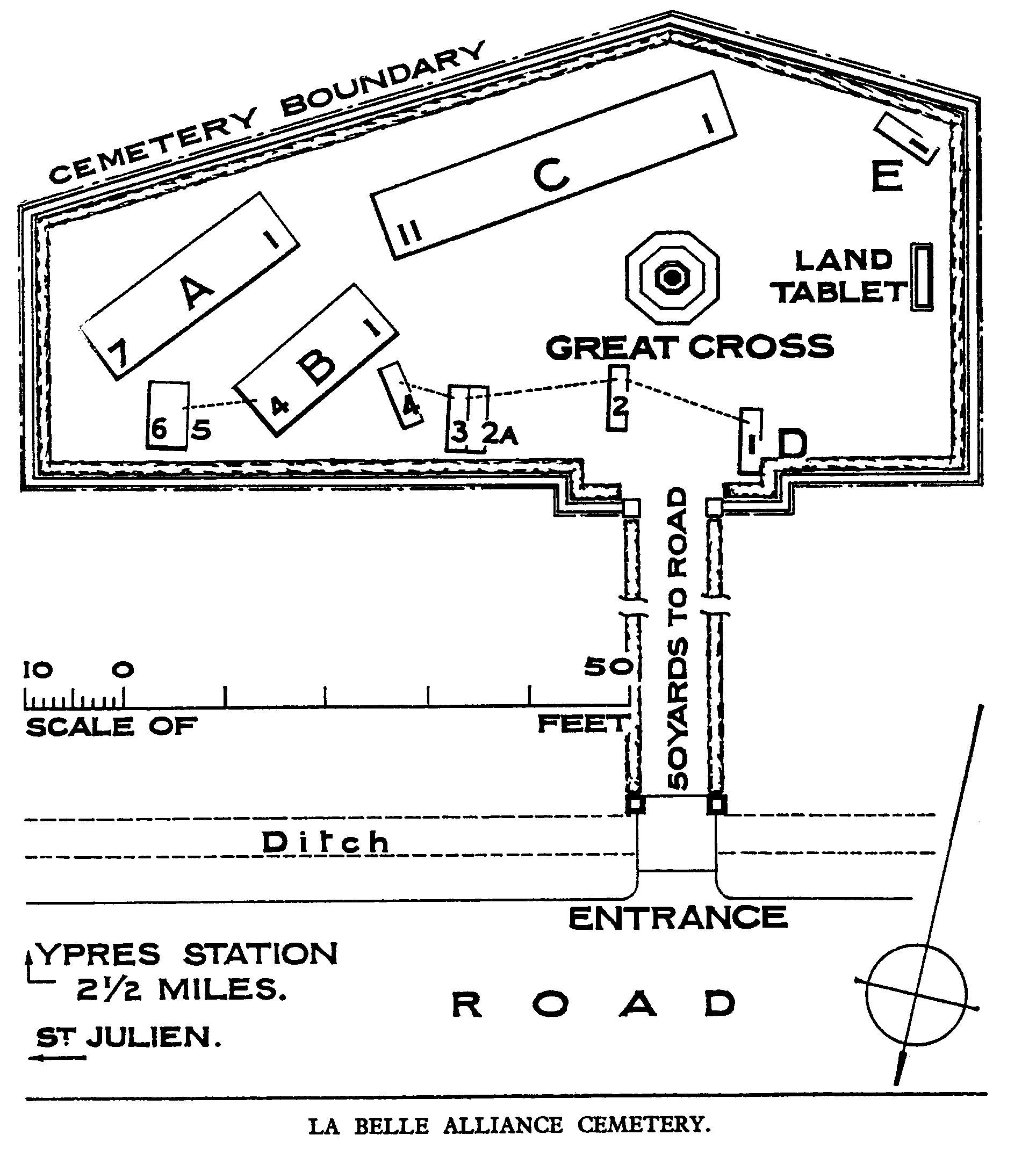
La Belle Alliance Cemetery was made in February and March 1916, by the 10th and 11th King's Royal Rifle Corps, and was used again in July and August 1917. It was originally named from a farmhouse which stood close by. The cemetery contains 60 First World War burials, ten of them unidentified. The cemetery was designed by J.R. Truelove.