Pottes Communal Cemetery
- Country Belgium
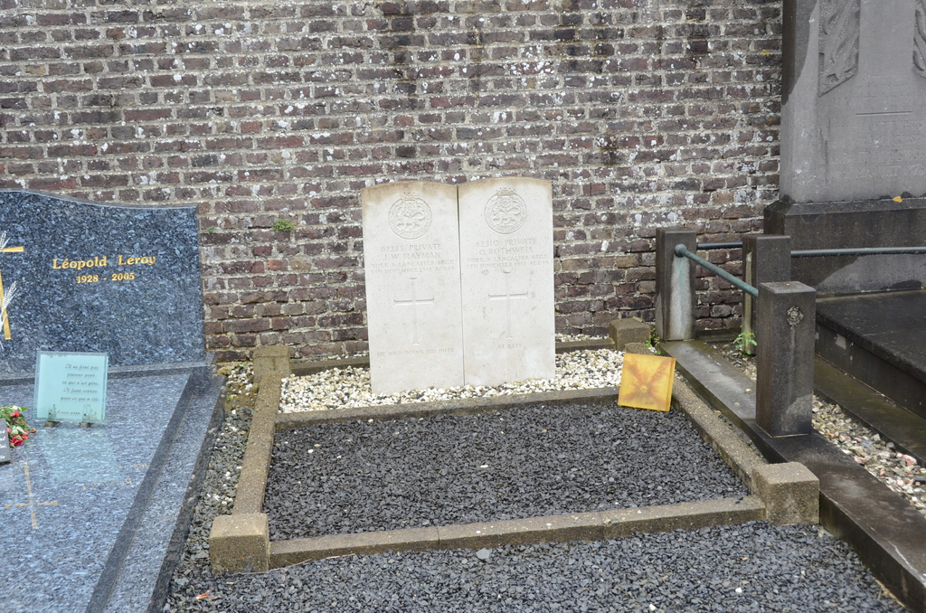
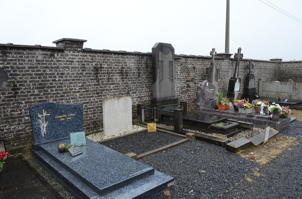
- Total identified casualties 2 Find these casualties
- Region Hainaut
- Identified casualties from First World War
- GPS Coordinates Latitude: 50.73383, Longitude: 3.41042
Location information
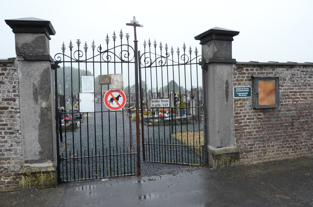
The village of Pottes is located west of the town of Mouscron off the N50. From the motorway E17 turn off at junction 2 onto the N50, direction Pecq. Go through Kooigem then take the left turn towards Spiere. At the T junction in Spiere turn left towards Helkijn. Follow this road into Helkijn and at the crossroads turn right into Kerkstraat, follow the main road over the river and to the T junction. Turn left here towards Pottes, go through the village and the cemetery is along on the left. The graves are located to the right of the entrance by the wall.
History information
Pottes Communal Cemetery contains two Commonwealth burials of the First World War, botrh of which were brought in from the western outskirts of Guemignies after the Armistice.