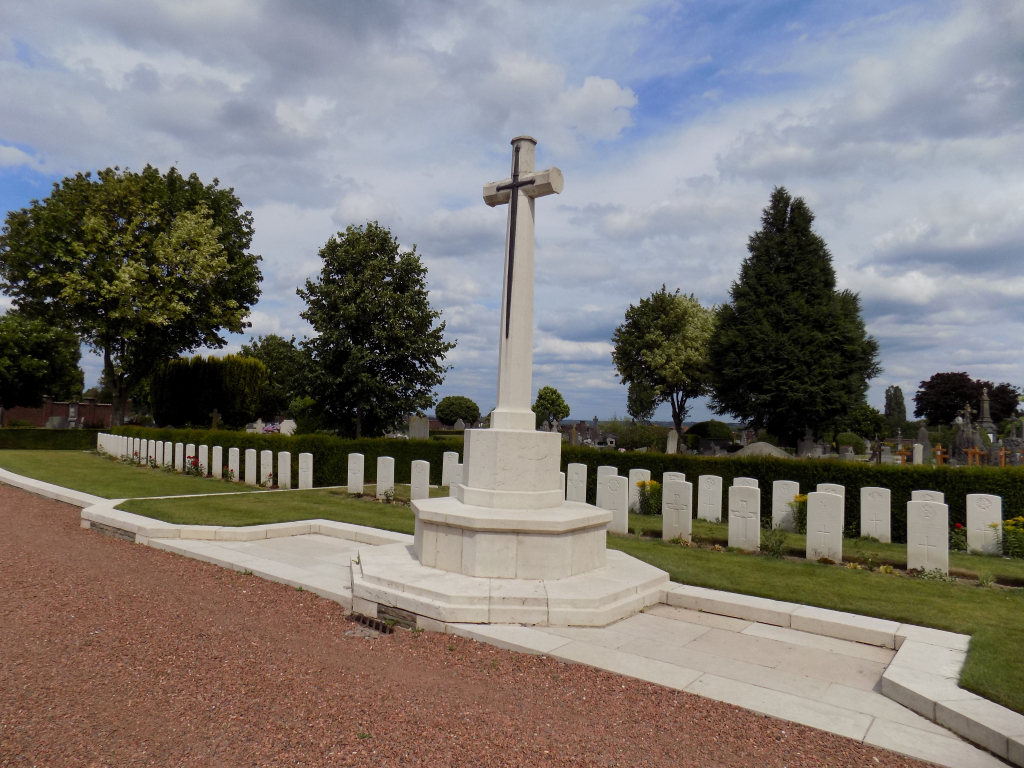
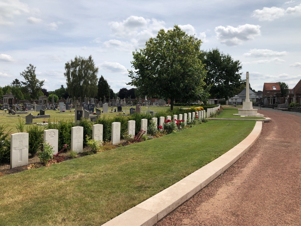
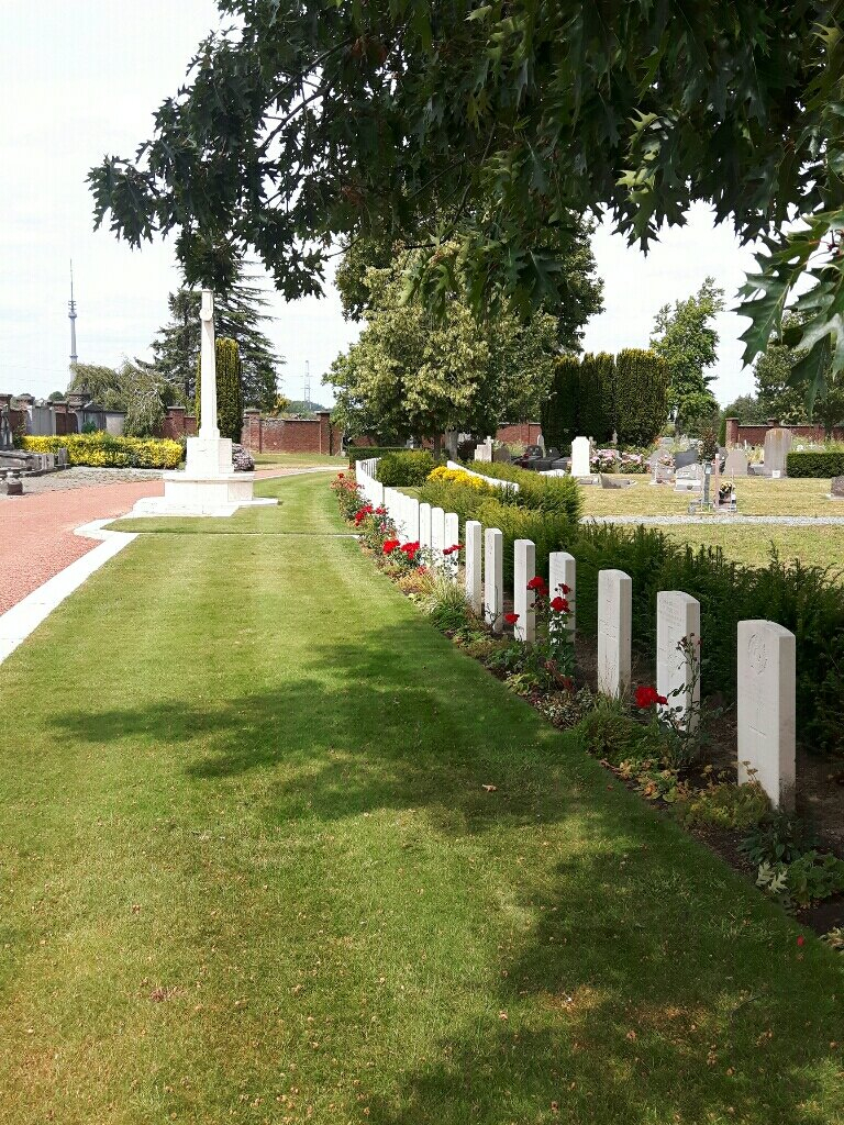
Halle Communal Cemetery
- Country Belgium
- Total identified casualties 108 Find these casualties
- Region Vlaams-Brabant
- Identified casualties from First & Second World War
- GPS Coordinates Latitude: 50.74497, Longitude: 4.22904
Location information
Halle is a town 16 kilometres south-west of Brussels on the road to Mons and Tournai. From the Ring Road RO around Brussels, turn off at Junction 20 and turn onto the Alsembergsesteenweg in the direction of Halle. At the end of the road turn left onto the N6 and then take the 6th turning on the right into Ninoofsesteenweg then immediately bare right into Cypriaan Verhavertstraat. After 400 metres turn right into Gaasbeeksesteenweg and after 200 metres the entrance of the cemetery is facing you with car parking in the front outside the gates. The cemetery can also be reached on foot from the train station after about a 15 minute walk. GPS Co-ordinates: Latitude: 50:44:39N (50.74418) Longitude: 4:13:46E (4.2295)
Visiting information
Wheelchair Access to the cemetery is possible via main entrance. For further information regarding wheelchair access, please contact our Enquiries Section on 01628 507200.
History information
Halle Communal Cemetery was used by the Germans during the First World War, and after the Armistice, by the 1st Australian Casualty Clearing Station. It contains two rows of Commonwealth graves, along the west side, the nineteen in row B having been regrouped from the German plot at the north end. Two of the graves are in isolated positions elsewhere in the cemetery. The cemetery contains 105 Commonwealth burials of the First World War. There are also two Second World War burials of May 1940 close to the First World War plot.