Hautrage Communal Cemetery
- Country Belgium
- Total identified casualties 1 Find these casualties
- Region Hainaut
- Identified casualties from First World War
- GPS Coordinates Latitude: 50.48146, Longitude: 3.76868
Location information
Hautrage Communal Cemetery is located 16 Kms west of Mons on a road leading from the N50 Grand Route de Mons which connects Mons to Tournai. 16 Kms along the N50 lies the right hand turning onto the rue Gustave Miroir which leads to the centre of Hautrage village. On reaching the village square the rue de Villerot leads from the square for 200 metres to the cemetery itself. The Commonwealth burial is at the south end of the cemetery. GPS Co-ordinate: Longitude 03°46'07", Latitude 50°28'49"
Visiting information
Visitors should note that this site is restricted to normal cemetery opening hours. Wheelchair access possible via main entrance. For further information regarding wheelchair access, please contact our Enquiries Department on telephone number: 01628 634221
History information
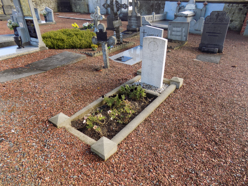
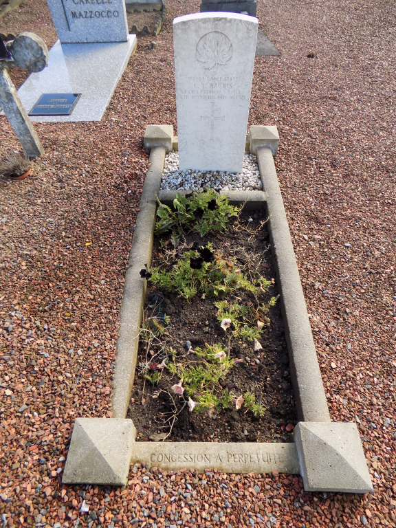
The cemetery contains one Commonwealth burial of the First World War. The grave was originally located near Pont D'Hautrage, on the Mons-Conde canal.