Montignies-Sur-Roc Churchyard
- Country Belgium
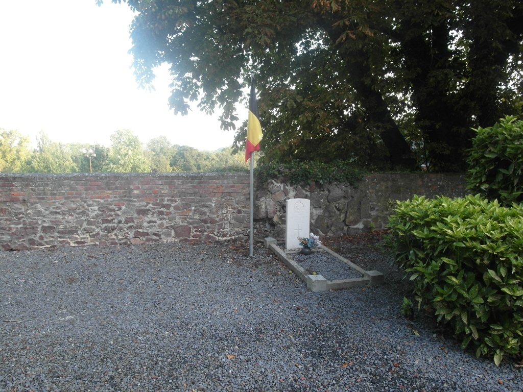
- Total identified casualties 1 Find these casualties
- Region Hainaut
- Identified casualties from First World War
- GPS Coordinates Latitude: 50.37086, Longitude: 3.73181


Location information
The village of Montignies-sur-Roc is located south-west of the town of Mons off the N553. From the motorway E19, which runs between Mons and Valenciennes, turn off at junction 26 onto the N552 direction Thulin/Dour. Follow the N552 to the town of Dour and the junction with the N553. Turn right onto the N553, direction Angre/Audregnies. In the village of Audregnies turn left onto chaussee Brunehault, direction Montignies-sur-Roc. Take the third turning left called rue de Coron towards Montignies-sur-Roc and the church is at the end of this road in the village. The graves are located to the rear of the cemetery by the wall.
History information
Montignies-sur-Roc Churchyard contains one Commonwealth burial of the First World War.